Home
States
Colorado
Connecticut
Maine
Massachusetts
New Hampshire
New York
Rhode Island
Utah
Vermont
View All
Lists
NE 4,000 Footers
NE 100 Highest
NH 4,000 Footers
NH 100 Highest
NH 52 With A View
NH Belknap Range
NH Ossipee 10
Links
Trail Conditions
Trip Log
Sunrises
Sunsets
About
|
Doubletop Mountain
T4 R10, ME, T3 R10, ME
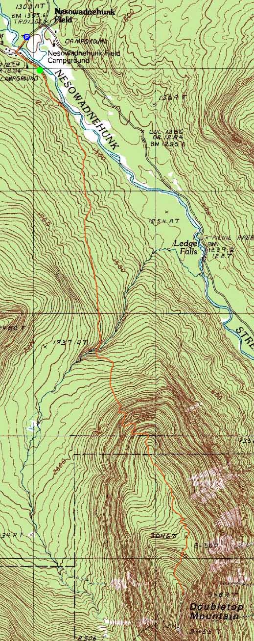
Trailheads, measurements, times, distances, and maps are all approximate and relative to the hike(s) as shown below.
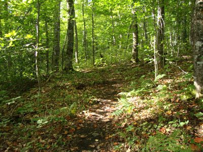
The flats near the beginning of the Doubletop Mountain Trail
Route: Road walk, Doubletop Mountain Trail, (Doubletop Mountain), Doubletop Mountain Trail, road walk
As my brief stay in Baxter drew to a close, I headed over to Nesowadnehunk to hike a mountain that I had intended to hike a year earlier.
After the brief roadwalk, I started on the Doubletop Mountain Trail. While the trail started off fairly gently with decent footing, it steepened after the Doubletop Brook crossing. Not only did it get steep, but the footing grew tricky due to erosion and a few scrambles (small, but minimal foot/hand holds).
Reaching a height of land (and having not looked at the map too closely), I had false hope that I was nearing the summit...until I looked up and saw I still had quite a climb in front of me.
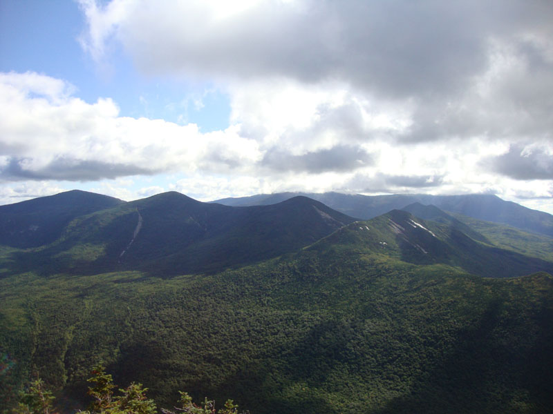
After the nice flat walk over the flat, the trail indeed climbed steeply (including up a small ladder) up to the open summit, where I had excellent views in all directions (though Katahdin was still in the clouds). While it was tempting to head over to the south (and slightly lower, but apparently more scenic) peak, I had a lot of driving ahead of me.
| Hike Ratings |
|
Getting To Trailhead: |
Easy |
| Destination: |
Doubletop Mountain |
|
Length: |
Moderate |
|
Steepness: |
Very Difficult |
|
Navigation: |
Easy |
|
Views: |
Excellent |
|
Crowds: |
Minimal |
|
| Hike Stats |
|
Date Hiked: |
Monday, September 6, 2010 |
| Hike Commenced: |
7:59 AM |
| Parking Elevation: |
1,290' |
| Destination: |
Doubletop Mountain |
| Ascent Commenced: |
8:06 AM |
| Summit Reached: |
9:45 AM |
| Time Elapsed: |
01:39 |
| Trailhead Elevation: |
1,300' |
| Summit Elevation: |
3,489' |
| Distance |
3.1 miles |
| Vertical Gain: |
2,329' |
|
|
| Hike Ended: |
11:43 AM |
| Hike Time Elapsed: |
03:44 |
| Hike Vertical Gain: |
2,509' |
|
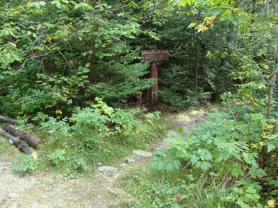
The Doubletop Mountain Trail trailhead at near Nesowadnehunk Campground
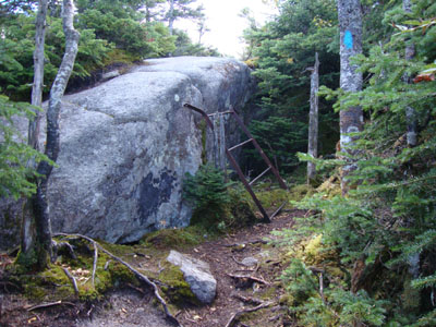
The small ladder near the top of the Doubletop Mountain Trail

Looking at North Brother through Mt. OJI, with Katahdin in the clouds in the background, from Doubletop Mountain
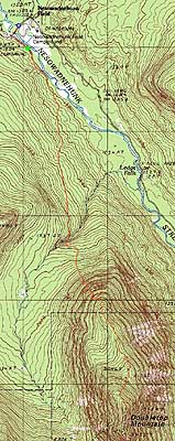

Directions to trailhead: From the Togue Pond Gate (Millinocket side), take the Tote Road west, then turn left into the Nesowadnehunk Campground main entrance. The day use parking area is located near the cabin. From there, continue on foot over the bridge, then take a left and continue down the dirt road walk. The Doubletop Mountain Trail trailhead is located at the back of the turnaround area at the end of this dirt road.
Back to Doubletop Mountain Profile
|