Home
States
Colorado
Connecticut
Maine
Massachusetts
New Hampshire
New York
Rhode Island
Utah
Vermont
View All
Lists
NE 4,000 Footers
NE 100 Highest
NH 4,000 Footers
NH 100 Highest
NH 52 With A View
NH Belknap Range
NH Ossipee 10
Links
Trail Conditions
Trip Log
Sunrises
Sunsets
About
|
Kennebago Divide, White Cap Mountain
Seven Ponds, ME
Trailheads, measurements, times, distances, and maps are all approximate and relative to the hike(s) as shown below.

The logging road on the way to the col
Route: Logging road, bushwhack, herd path, (Kennebago Divide), herd path, bushwhack, herd path, logging road, herd path, (White Cap Mountain), herd path, logging road
With a poor weather forecast, it was an ideal day for a bushwhack to some viewless peaks. After weaving our way through an endless maze of logging roads (all fortunately in better shape than the infamous relatively-nearby-Caribou-Valley-Road), we reached a point of no further driving at about 2,600 feet. From there, we continued up the now-wet-and-grassy logging road to near the col between White Cap Mountain and the northern peak of Kennebago Divide. Meeting up with another hiker, we decided to head to Kennebago Divide first.
Following a logging road from the col a bit, we saw that we were dropping too far west. After looking around in a circle for herd paths, we decided to just push forward and worked our way to the southern side of the col, soon meeting up with a generally-obvious herd path that led all the way to the viewless summit.
Leaving the summit, we followed the same herd path back to the col, where it almost immediately faded out. We pushed around a bit and soon found a herd path heading east back toward the main logging road. Back at the logging road and a few hundred feet below the col, we headed back up and continued along this main logging road toward White Cap. At some point we missed a turn off and found ourselves north of the peak on a now almost completely grown-in road. Backtracking, we found a cairn-marked herd path obscured by a blowdown (the entrance to the herd path would have been on our left whilst ascending). We followed this on easy grades all the way to the viewless summit.
The walk back was a bit slower than desired, as we had to be careful of the wet and soggy conditions of the main road.
| Hike Ratings |
|
Getting To Trailhead: |
Difficult |
| Destination: |
Kennebago Divide |
|
Length: |
Moderate |
|
Steepness: |
Moderate |
|
Navigation: |
Difficult |
|
Views: |
Minimal |
|
Crowds: |
Minimal |
| Destination: |
White Cap Mountain |
|
Length: |
Moderate |
|
Steepness: |
Moderate |
|
Navigation: |
Difficult |
|
Views: |
Minimal |
|
Crowds: |
Minimal |
|
| Hike Stats |
|
Date Hiked: |
Saturday, August 22, 2009 |
| Hike Commenced: |
9:12 AM |
| Parking Elevation: |
2,600' |
| Destination: |
Kennebago Divide |
| Ascent Commenced: |
9:12 AM |
| Summit Reached: |
10:55 AM |
| Time Elapsed: |
01:43 |
| Trailhead Elevation: |
2,600' |
| Summit Elevation: |
3,775' |
| Vertical Gain: |
1,235' |
| Destination: |
White Cap Mountain |
| Ascent Commenced: |
11:10 AM |
| Summit Reached: |
12:39 PM |
| Time Elapsed: |
01:29 |
| Trailhead Elevation: |
3,775' |
| Summit Elevation: |
3,856' |
| Vertical Gain: |
676' |
|
|
| Hike Ended: |
1:40 PM |
| Hike Time Elapsed: |
04:28 |
| Hike Vertical Gain: |
1,921' |
|

The logging road to the col, adajacent to the last possible parking area

Spotted Touch Me Nots along the logging road

The viewless highpoint of Kennebago Divide

The logging road on the way to White Cap Mountain

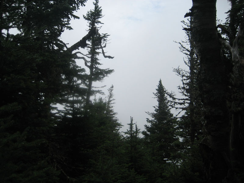
A possible minimal viewpoint near the summit of White Cap Mountain


Directions to trailhead: From Rangeley, take Route 16 west, then take a right onto Morton Cutoff (logging road). After about 3.2 miles, take a right onto Lincoln Pond Road (may also be signed Tim Pond Road). Follow this until about 10.5 miles (from Route 16), then take a left onto another logging road. At about 13.8 miles take a right onto Wiggle Brook Road. At 14.4 miles, take a left onto an unnamed logging road. As of summer 2009, vehicles with decent clearance and four wheel drive should be able to reach a parking area at about 2600 feet in elevation.
Back to Kennebago Divide Profile
Back to White Cap Mountain Profile
|