Home
States
Colorado
Connecticut
Maine
Massachusetts
New Hampshire
New York
Rhode Island
Utah
Vermont
View All
Lists
NE 4,000 Footers
NE 100 Highest
NH 4,000 Footers
NH 100 Highest
NH 52 With A View
NH Belknap Range
NH Ossipee 10
Links
Trail Conditions
Trip Log
Sunrises
Sunsets
About
|
Kennebago Divide, White Cap Mountain
Seven Ponds, ME
Trailheads, measurements, times, distances, and maps are all approximate and relative to the hike(s) as shown below.

The logging road on the way to the col
Route: Logging road, bushwhack, herd path, (Kennebago Divide), herd path, bushwhack, logging road, herd path, (White Cap Mountain), herd path, logging road
Starting at sort of a parking area at the end of the drivable portion of the logging road, we continued on foot up the now wet, grassy route. About 20 minutes later, we reached a junction with an overgrown logging road heading west. A herd path briefly followed this road and then headed steeply up to the col.
From the col, we bushwhacked over some confusing herd paths (rather than running around in circles trying to follow them), eventually reaching a decent path as we started to climb up the Kennebago Divide peak.
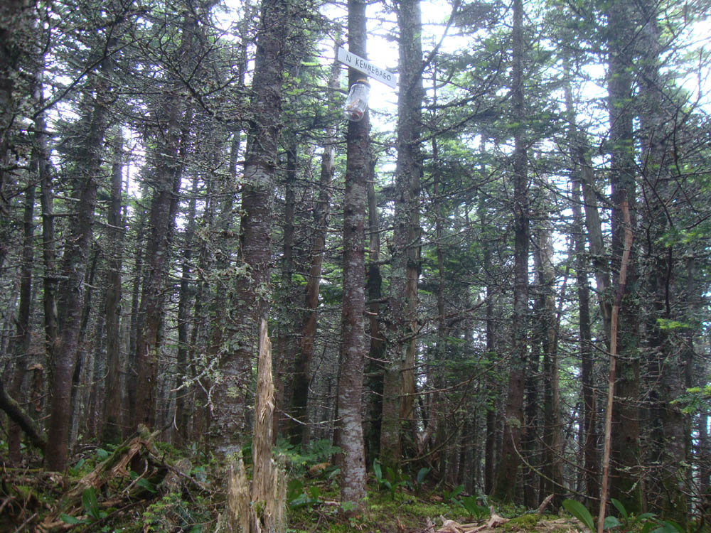
With light drizzle, the lack of views didn't much matter. After signing in at the summit jar, we backtracked down the herd path to the col, then dropped maybe 50 feet back downhill, then followed that contour back to the upper portion of the logging road we had started on.
We followed that road uphill as it became increasingly narrow. Upon being greeted with a wall of young spruce, we followed a faint herdpath left, soon passing a random solar panel.
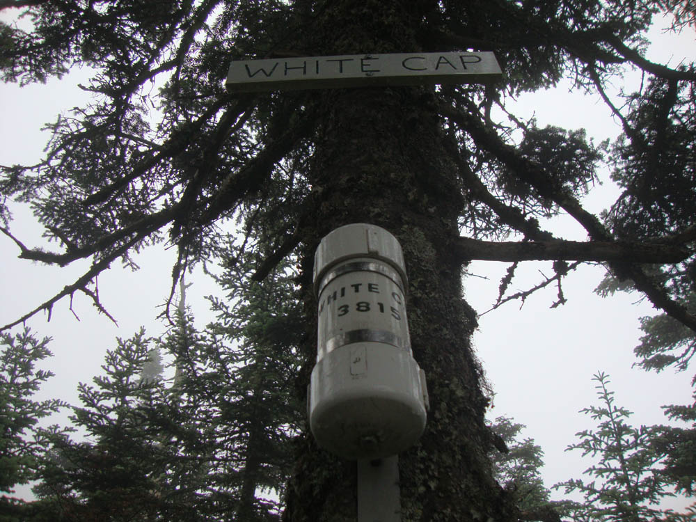
With the woods floor paved with ferns, the herd path was a bit hard to follow in places. Nonetheless, we were able to push gradually upward in open woods to the summit canister.
By the time we returned to our parking area, the fog and drizzle had cleared.
| Hike Ratings |
|
Getting To Trailhead: |
Difficult |
| Destination: |
Kennebago Divide |
|
Length: |
Moderate |
|
Steepness: |
Difficult |
|
Navigation: |
Difficult |
|
Views: |
Minimal |
|
Crowds: |
Minimal |
| Destination: |
White Cap Mountain |
|
Length: |
Moderate |
|
Steepness: |
Moderate |
|
Navigation: |
Difficult |
|
Views: |
Minimal |
|
Crowds: |
Minimal |
|
| Hike Stats |
|
Date Hiked: |
Saturday, July 9, 2011 |
| Parking Elevation: |
2,600' |
| Destination: |
Kennebago Divide |
| Time Elapsed: |
01:03 |
| Trailhead Elevation: |
2,600' |
| Summit Elevation: |
3,775' |
| Vertical Gain: |
1,225' |
| Destination: |
White Cap Mountain |
| Time Elapsed: |
01:06 |
| Trailhead Elevation: |
3,775' |
| Summit Elevation: |
3,856' |
| Vertical Gain: |
706' |
|
|
| Hike Time Elapsed: |
03:17 |
| Hike Vertical Gain: |
1,931' |
|

The logging road to the col, adajacent to the last possible parking area

The viewless highpoint of Kennebago Divide

The logging road on the way to White Cap Mountain

A random solar panel near the summit of White Cap Mountain

The socked in summit of White Cap Mountain


Directions to trailhead: From Oquossoc, take Route 16 west, then take a right onto Morton Cutoff (logging road). After about 3.2 miles (from Route 16), take a right onto Lincoln Pond Road (may also be signed Tim Pond Road). Follow this until about 10.5 miles, then take a left onto another logging road (two culverts were washed out on this road in summer 2011, which will likely prohibit low to medium clearance vehicles from crossing without boards). At about 13.8 miles take a right onto Wiggle Brook Road. At 14.4 miles, take a left onto an unnamed logging road. As of summer 2011, vehicles with decent clearance and four wheel drive should be able to reach a parking area at about 2600 feet in elevation.
Back to Kennebago Divide Profile
Back to White Cap Mountain Profile
|