Home
States
Colorado
Connecticut
Maine
Massachusetts
New Hampshire
New York
Rhode Island
Utah
Vermont
View All
Lists
NE 4,000 Footers
NE 100 Highest
NH 4,000 Footers
NH 100 Highest
NH 52 With A View
NH Belknap Range
NH Ossipee 10
Links
Trail Conditions
Trip Log
Sunrises
Sunsets
About
|
Kennebago Divide, White Cap Mountain
Seven Ponds, ME
Trailheads, measurements, times, distances, and maps are all approximate and relative to the hike(s) as shown below.

Following moose tracks to Kennebago Divide
Route: Logging road, bushwhack, herd path, (Kennebago Divide), herd path, bushwhack, logging road, herd path, (White Cap Mountain), herd path, logging road
The logging roads were (in some cases barely) drivable, so we bushwhacked to Kennebago Divide and White Cap. Almost half a foot of snow near the top of the drivable logging road, while upwards of a foot of snow in the higher elevations.
| Hike Ratings |
|
Getting To Trailhead: |
Difficult |
| Destination: |
Kennebago Divide |
|
Length: |
Moderate |
|
Steepness: |
Difficult |
|
Navigation: |
Difficult |
|
Views: |
Minimal |
|
Crowds: |
Minimal |
| Destination: |
White Cap Mountain |
|
Length: |
Moderate |
|
Steepness: |
Moderate |
|
Navigation: |
Difficult |
|
Views: |
Minimal |
|
Crowds: |
Minimal |
|
| Hike Stats |
|
Date Hiked: |
Sunday, January 1, 2012 |
| Parking Elevation: |
2,600' |
| Destination: |
Kennebago Divide |
| Time Elapsed: |
01:18 |
| Trailhead Elevation: |
2,600' |
| Summit Elevation: |
3,775' |
| Vertical Gain: |
1,225' |
| Destination: |
White Cap Mountain |
| Time Elapsed: |
01:11 |
| Trailhead Elevation: |
3,775' |
| Summit Elevation: |
3,856' |
| Vertical Gain: |
706' |
|
|
| Hike Time Elapsed: |
03:20 |
| Hike Vertical Gain: |
1,931' |
|

The logging road to the col, adajacent to the last possible parking area

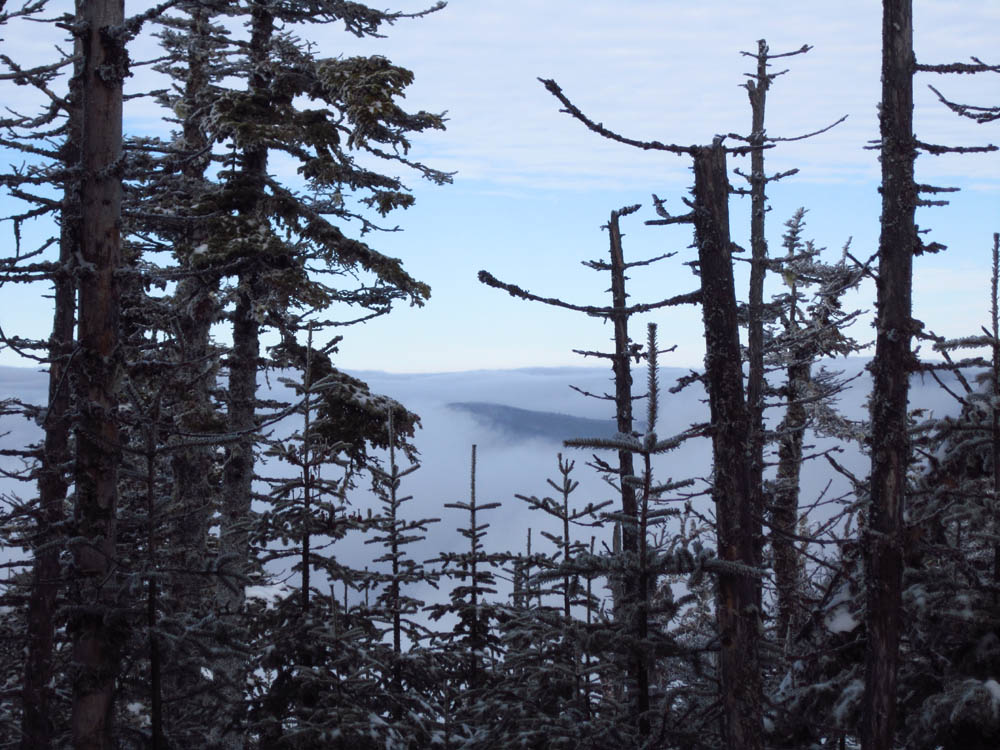
Looking at undercast over Canada from near the summit of Kennebago Divide

A brief glimpse at blue sky on the way to White Cap Mountain

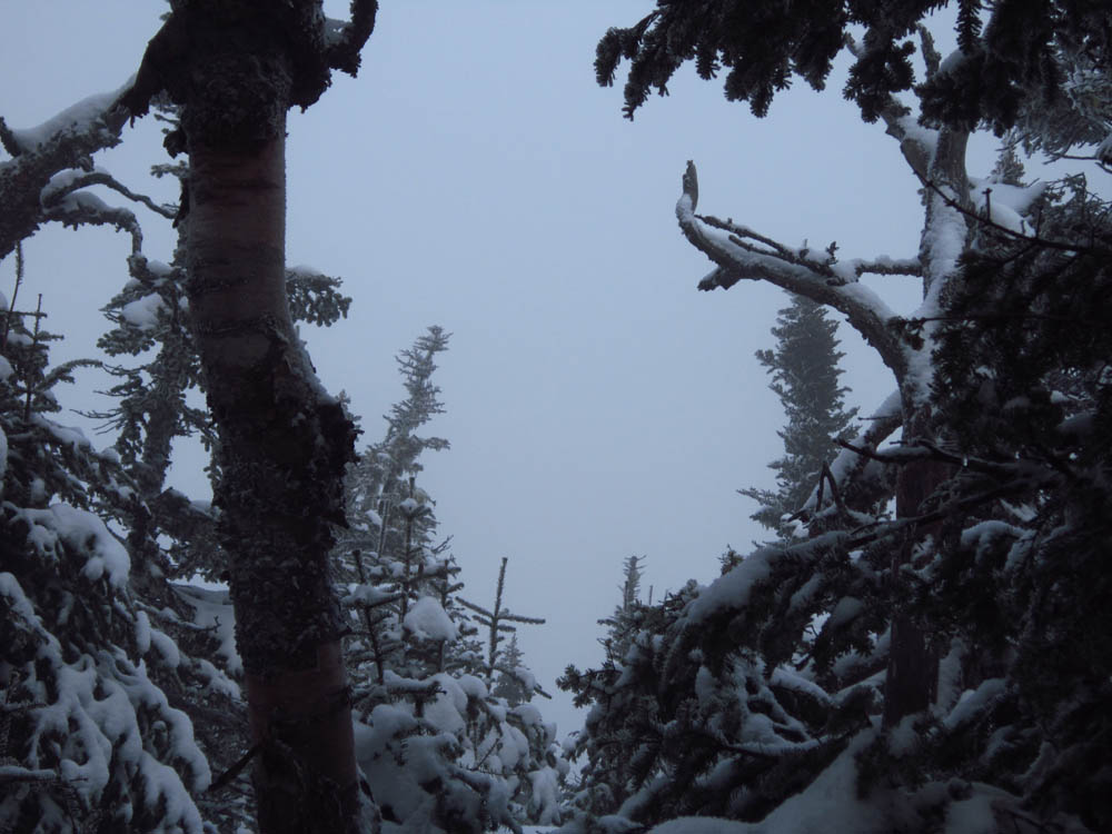
The socked in summit of White Cap Mountain


Directions to trailhead: From Oquossoc, take Route 16 west, then take a right onto Morton Cutoff (logging road). After about 3.2 miles (from Route 16), take a right onto Lincoln Pond Road (may also be signed Tim Pond Road). Follow this until about 10.5 miles, then take a left onto another logging road (two culverts were washed out on this road in summer 2011, which will likely prohibit low to medium clearance vehicles from crossing without boards). At about 13.8 miles take a right onto Wiggle Brook Road. At 14.4 miles, take a left onto an unnamed logging road. As of summer 2011, vehicles with decent clearance and four wheel drive should be able to reach a parking area at about 2600 feet in elevation.
Back to Kennebago Divide Profile
Back to White Cap Mountain Profile
|