Home
States
Colorado
Connecticut
Maine
Massachusetts
New Hampshire
New York
Rhode Island
Utah
Vermont
View All
Lists
NE 4,000 Footers
NE 100 Highest
NH 4,000 Footers
NH 100 Highest
NH 52 With A View
NH Belknap Range
NH Ossipee 10
Links
Trail Conditions
Trip Log
Sunrises
Sunsets
About
|
Norumbega Mountain
Mount Desert, ME
Trailheads, measurements, times, distances, and maps are all approximate and relative to the hike(s) as shown below.
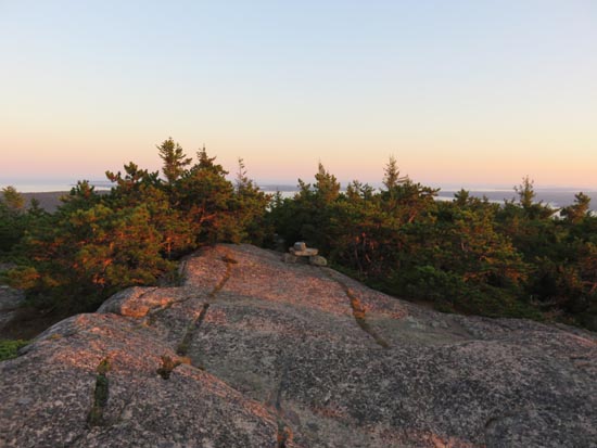
Heading up the Norumbega Mountain Trail
Route: Hadlock Pond Trail, Norumbega Mountain Trail
Trails were mostly dry and in good shape.
Trails on the east side of the pond are a little bit confusing, as they essentially circle around a private residence, then drop onto an access road to the dam.
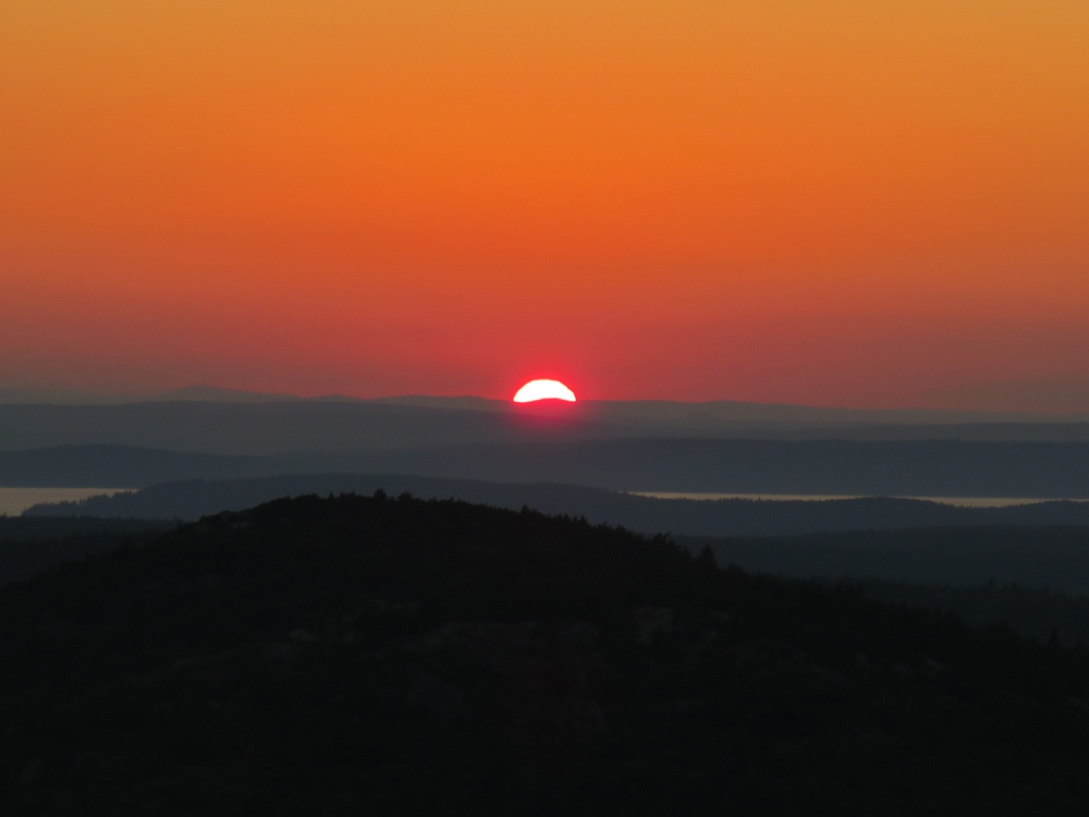
The best on trail views on Norumbega are on this trail, just before the summit, providing a nice sunset perspective this evening. There's also a great eastern view via a short but scrappy bushwhack east from the highpoint (did this in the spring, but skipped on this evening on account of time).
| Hike Ratings |
|
Getting To Trailhead: |
Easy |
| Destination: |
Norumbega Mountain |
|
Length: |
Moderate |
|
Steepness: |
Difficult |
|
Navigation: |
Moderate |
|
Views: |
Excellent |
|
Crowds: |
Minimal |
|
| Hike Stats |
|
Date Hiked: |
Thursday, September 17, 2015 |
| Parking Elevation: |
240' |
| Destination: |
Norumbega Mountain |
| Time Elapsed: |
00:16 |
| Trailhead Elevation: |
240' |
| Summit Elevation: |
852' |
| Vertical Gain: |
692' |
|
|
| Hike Time Elapsed: |
01:11 |
| Hike Vertical Gain: |
812' |
|
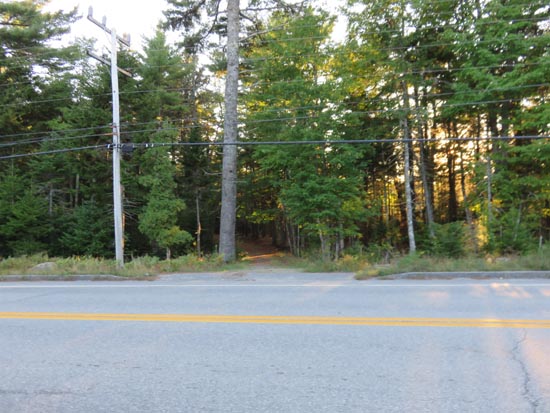
The Bowl Trail trailhead on Park Loop Road

The sunset from Norumbega Mountain
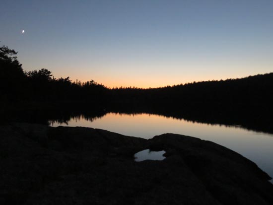
Lower Hadlock Pond
Directions to trailhead: From the Brown Mountain Gatehouse lot off Route 3, there is a trailhead diagonally across the road southbound.
Back to Norumbega Mountain Profile
|