Home
States
Colorado
Connecticut
Maine
Massachusetts
New Hampshire
New York
Rhode Island
Utah
Vermont
View All
Lists
NE 4,000 Footers
NE 100 Highest
NH 4,000 Footers
NH 100 Highest
NH 52 With A View
NH Belknap Range
NH Ossipee 10
Links
Trail Conditions
Trip Log
Sunrises
Sunsets
About
|
Pleasant Mountain
Denmark, ME
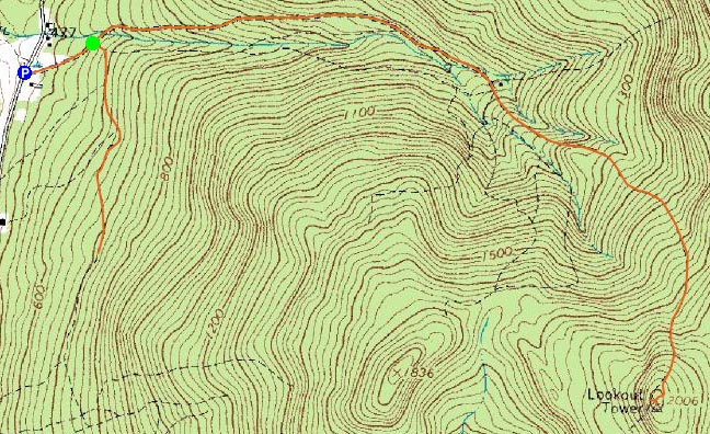
Trailheads, measurements, times, distances, and maps are all approximate and relative to the hike(s) as shown below.
Heading up toward the Pleasant Mountain summit
Route: Fire Warden's Trail
After skiing the morning at Wildcat (an amazing amount of snow, especially considering its April) on a 70 degree day, I headed down to Pleasant Mountain for an afternoon hike.
I at first drove by the parking lot, as there was a steamshovel parked there - but knew that's where I wanted to be when I saw a gated road up behind it.
Seeing that the road was muddy, I decided not to bring my snowshoes. I started up the road past the gate and was confronted with a fork - a heavily travelled (foot and vehicle) road to the right and a much less travelled road to the left. I went to the right, and hiked about half a mile before hitting a downhill section - and knowing this was not the way I wanted to go. Heavy mud due to recent logging operations.
Upon returning to the fork some time later, I saw an old wooden sign on a tree, informing me that I was blind and had indeed gone the wrong way.
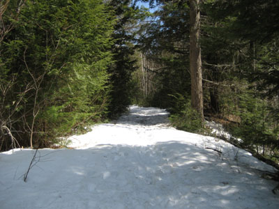
Now on the right trail, I started my ascent, over some seasonal brooks crossing the road, until reaching a second bridge. After this, it was winter on the surface. A few minutes later, it was time for my Stablicers, as the middle of the trail was ice and slush. Soon, the trail was covered in 1-2 feet of snow, with postholes and under-snow rivers. Soaked, I finally made it to the somewhat clear summit.
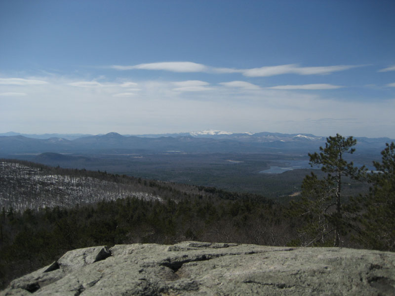
The cabin of the fire tower, boarded up, was accessible via a ladder (whereas your average NH, MA, or VT firetower has stairs). Not feeling like trying to take a picture from a ladder, I continued to the western ledges. There were great views here of Maine and New Hampshire - ranging from southern New Hampshire to the Whites. There were also views to the east and the northeast at other places on the summit.
After a few minutes, I started my descent on the same trail (signed as the Fire Warden's Trail on the summit - aside from the sign at the base, the only real marking of the trail).
| Hike Ratings |
|
Getting To Trailhead: |
Moderate |
| Destination: |
Pleasant Mountain |
|
Length: |
Moderate |
|
Steepness: |
Moderate |
|
Navigation: |
Moderate |
|
Views: |
Excellent |
|
Crowds: |
Minimal |
|
| Hike Stats |
|
Date Hiked: |
Saturday, April 21, 2007 |
| Hike Commenced: |
1:34 PM |
| Parking Elevation: |
460' |
| Destination: |
Pleasant Mountain |
| Ascent Commenced: |
2:09 PM |
| Summit Reached: |
3:21 PM |
| Time Elapsed: |
01:12 |
| Trailhead Elevation: |
540' |
| Summit Elevation: |
2,006' |
| Vertical Gain: |
1,491' |
|
|
| Hike Ended: |
4:48 PM |
| Hike Time Elapsed: |
03:14 |
| Hike Vertical Gain: |
1,811' |
|
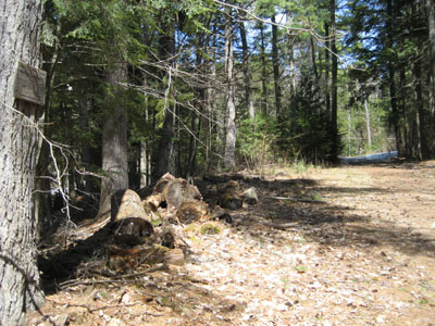
Fire Warden's Trail trailhead
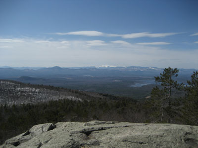
Looking northwest from the Pleasant Mountain summit at Mt. Washington
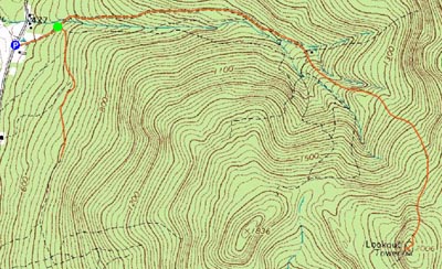

Directions to trailhead: From the New Hampshire border, take Route 302 to Wilton-Warren Road (a right). The road will turn to dirt. The trailhead and small parking lot are on the left just after an old wooden bridge.
Back to Pleasant Mountain Profile
|