Home
States
Colorado
Connecticut
Maine
Massachusetts
New Hampshire
New York
Rhode Island
Utah
Vermont
View All
Lists
NE 4,000 Footers
NE 100 Highest
NH 4,000 Footers
NH 100 Highest
NH 52 With A View
NH Belknap Range
NH Ossipee 10
Links
Trail Conditions
Trip Log
Sunrises
Sunsets
About
|
Red Rock Mountain, Butters Mountain, Durgin Mountain, Speckled Mountain
Stoneham, ME, Mason, ME
Trailheads, measurements, times, distances, and maps are all approximate and relative to the hike(s) as shown below.
The Red Rock Trail
Route: Miles Notch Trail, Red Rock Trail, Bickford Brook Trail, Cold Brook Trail, Evergreen Link
Random yellow jacket stings on the Miles Notch Trail. Excellent views via a short bushwhack to the cliffs on Red Rock Mountain, as well as the summit ledges. Overgrown trail around Butters Mountain. Great views on Speckled Mountain, as well as on the Cold Brook Trail ledges. Some blown out trail on the steeps below.
| Hike Ratings |
|
Getting To Trailhead: |
Easy |
| Destination: |
Red Rock Mountain |
|
Length: |
Moderate |
|
Steepness: |
Difficult |
|
Navigation: |
Easy |
|
Views: |
Excellent |
|
Crowds: |
Minimal |
| Destination: |
Butters Mountain |
|
Length: |
Moderate |
|
Steepness: |
Difficult |
|
Navigation: |
Moderate |
|
Views: |
Minimal |
|
Crowds: |
Minimal |
| Destination: |
Durgin Mountain |
|
Length: |
Moderate |
|
Steepness: |
Difficult |
|
Navigation: |
Moderate |
|
Views: |
Excellent |
|
Crowds: |
Minimal |
| Destination: |
Speckled Mountain |
|
Length: |
Difficult |
|
Steepness: |
Difficult |
|
Navigation: |
Moderate |
|
Views: |
Excellent |
|
Crowds: |
Minimal |
|
| Hike Stats |
|
Date Hiked: |
Saturday, August 30, 2014 |
| Parking Elevation: |
480' |
| Destination: |
Red Rock Mountain |
| Time Elapsed: |
03:02 |
| Trailhead Elevation: |
480' |
| Summit Elevation: |
2,141' |
| Vertical Gain: |
2,411' |
| Destination: |
Butters Mountain |
| Time Elapsed: |
00:40 |
| Trailhead Elevation: |
2,141' |
| Summit Elevation: |
2,246' |
| Distance: |
1.3 miles |
| Vertical Gain: |
376' |
| Destination: |
Durgin Mountain |
| Time Elapsed: |
01:13 |
| Trailhead Elevation: |
2,246' |
| Summit Elevation: |
2,404' |
| Vertical Gain: |
524' |
| Destination: |
Speckled Mountain |
| Time Elapsed: |
00:38 |
| Trailhead Elevation: |
2,404' |
| Summit Elevation: |
2,906' |
| Distance: |
1.2 miles |
| Vertical Gain: |
726' |
|
|
| Hike Time Elapsed: |
7:51 |
| Hike Vertical Gain: |
4,087' |
|
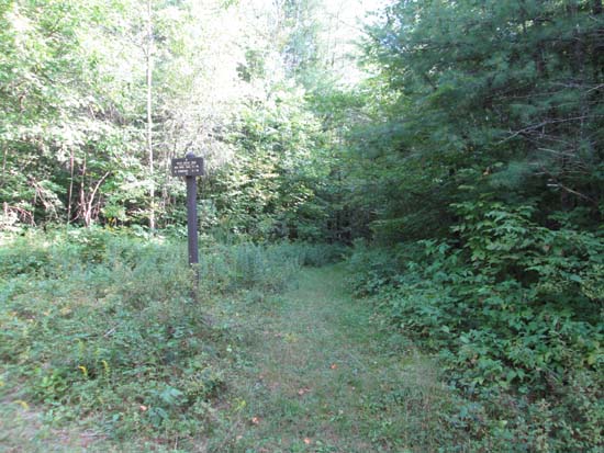
The Miles Notch Trail trailhead
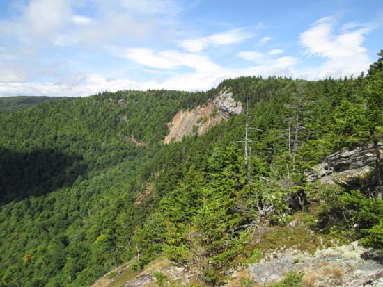
Looking at the Red Rock cliffs from cliffs to the east
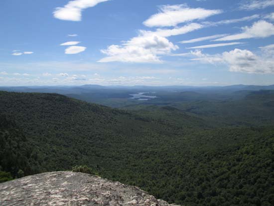
Looking south from the cliffs near the summit of Red Rock Mountain
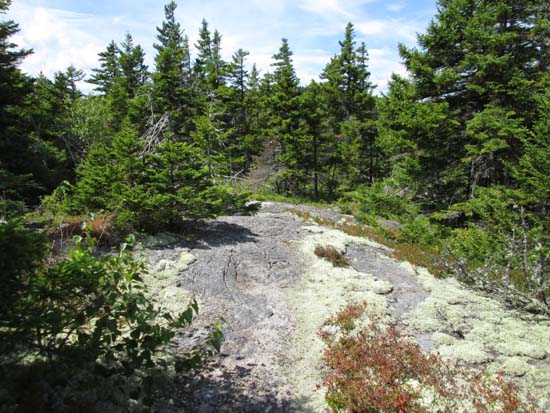
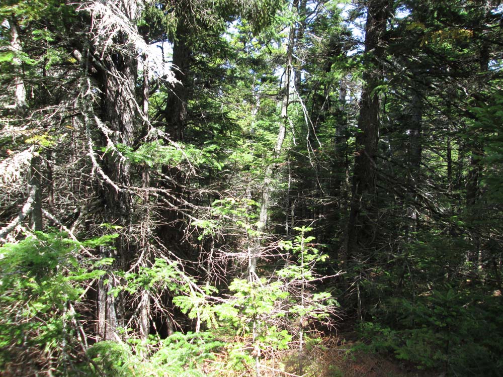
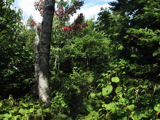
The Red Rock Trail on the way to Butters Mountain
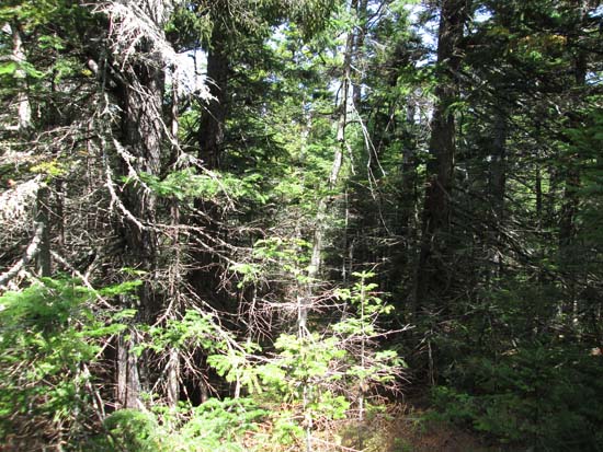
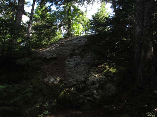
A lack of views from Butters Mountain
The Red Rock Trail on the way to Durgin Mountain
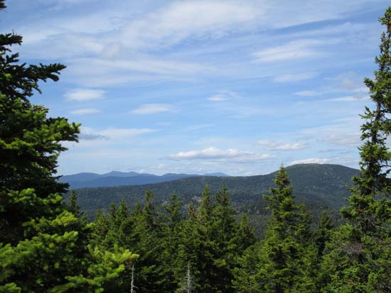
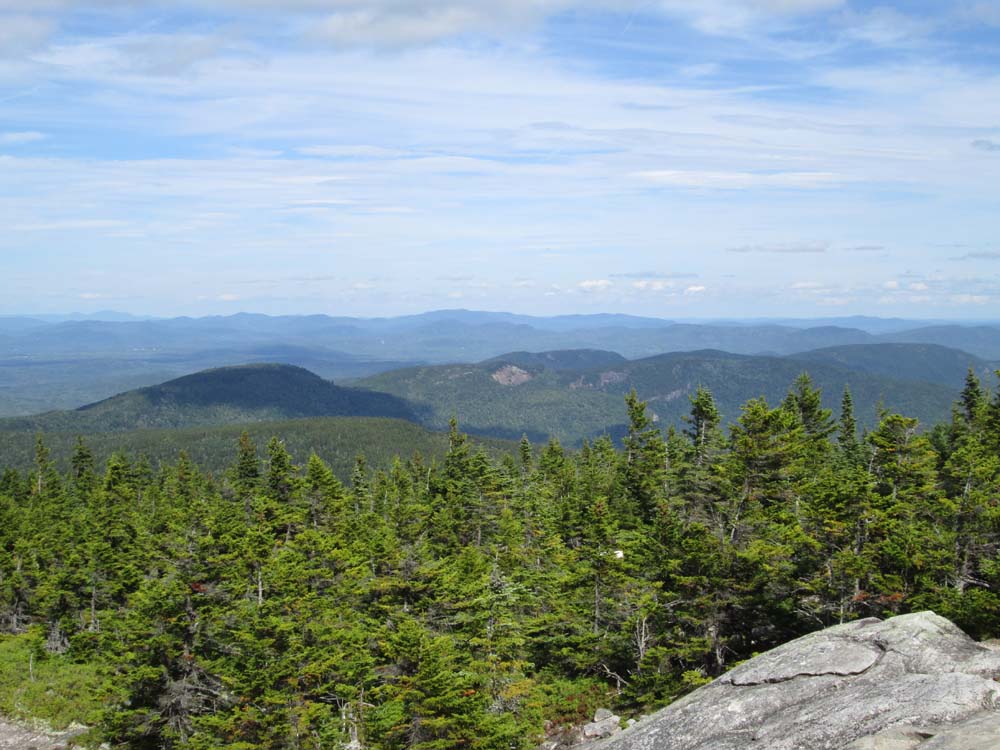
Looking north at the Mahoosucs and Caribou Mountain from near the summit of Durgin Mountain
The Red Rock Trail on the way to Speckled Mountain
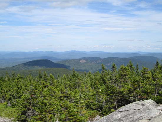
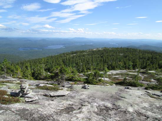
Looking at the Red Rock ridge from Speckled Mountain
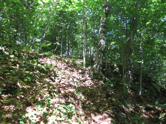
Descending the Cold Brook Trail
Directions to trailhead: Take Route 5 north from Lovell, Maine. Take a left onto West Stoneham Road. Hut Road will eventually be on the right - take this road to get to the Miles Notch Trail trailhead. Unsigned in fall 2010, the trailhead was located past the national forest boundary, shortly after a slight dip in the road, on the right, with a small, mowed parking area on the left. To get to the Evergreen Link, continue on West Stoneham Road past Hut Road, then bear right at the next curve onto Adams Road. Mountain Road will eventually be on the right.
Back to Red Rock Mountain Profile
Back to Butters Mountain Profile
Back to Durgin Mountain Profile
Back to Speckled Mountain Profile
|