Home
States
Colorado
Connecticut
Maine
Massachusetts
New Hampshire
New York
Rhode Island
Utah
Vermont
View All
Lists
NE 4,000 Footers
NE 100 Highest
NH 4,000 Footers
NH 100 Highest
NH 52 With A View
NH Belknap Range
NH Ossipee 10
Links
Trail Conditions
Trip Log
Sunrises
Sunsets
About
|
Sargent Mountain
Mount Desert, ME
Trailheads, measurements, times, distances, and maps are all approximate and relative to the hike(s) as shown below.
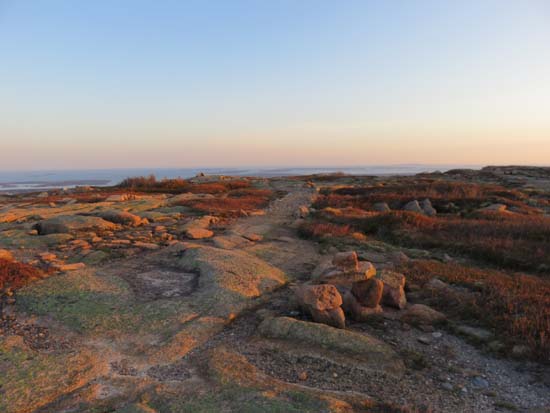
Looking up the Giant Slide Trail
Route: Giant Slide Trail, Sargent Northwest Trail
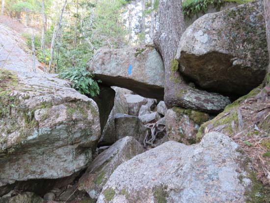
Trails were snow free and mostly dry (there still is a patch of snow on the east face of Sargent). Giant Slide Trail was rugged (boulders and caves) along the section prior to the Sargent Northwest junction, but neat. Nice sunset above treeline.
| Hike Ratings |
|
Getting To Trailhead: |
Moderate |
| Destination: |
Sargent Mountain |
|
Length: |
Moderate |
|
Steepness: |
Moderate |
|
Navigation: |
Difficult |
|
Views: |
Excellent |
|
Crowds: |
Minimal |
|
| Hike Stats |
|
Date Hiked: |
Thursday, May 14, 2015 |
| Parking Elevation: |
60' |
| Destination: |
Sargent Mountain |
| Time Elapsed: |
01:05 |
| Trailhead Elevation: |
60' |
| Summit Elevation: |
1,373' |
| Vertical Gain: |
1,333' |
|
|
| Hike Time Elapsed: |
02:40 |
| Hike Vertical Gain: |
1,353' |
|
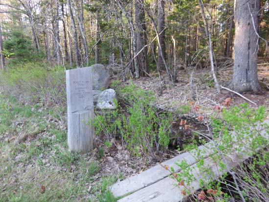
The Giant Slide Trail trailhead
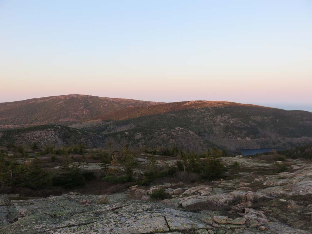
The Sargent ridge
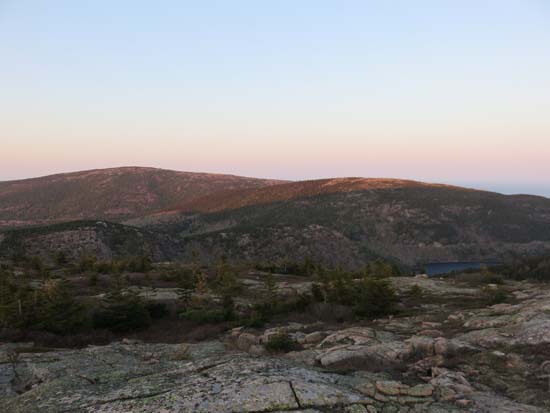
Looking at Cadillac Mountain from Sargent Mountain
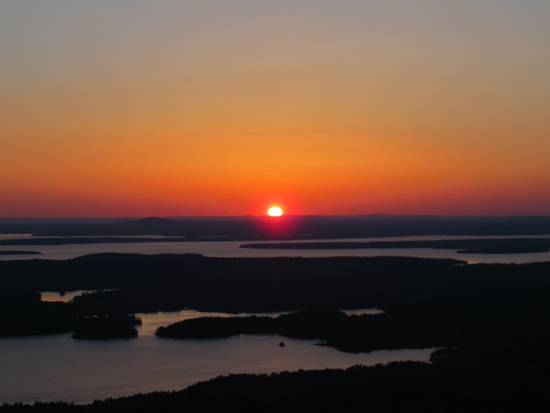
The sunset from Sargent Mountain
Directions to trailhead: Take Route 3 south from Route 233. The Giant Slide Trail will be on the left, before St. James Church. There is limited room to park roadside.
Back to Sargent Mountain Profile
|