Home
States
Colorado
Connecticut
Maine
Massachusetts
New Hampshire
New York
Rhode Island
Utah
Vermont
View All
Lists
NE 4,000 Footers
NE 100 Highest
NH 4,000 Footers
NH 100 Highest
NH 52 With A View
NH Belknap Range
NH Ossipee 10
Links
Trail Conditions
Trip Log
Sunrises
Sunsets
About
|
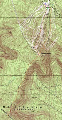
Sugarloaf Mountain, Spaulding Mountain
Carrabassett Valley, ME, Mt. Abraham, ME
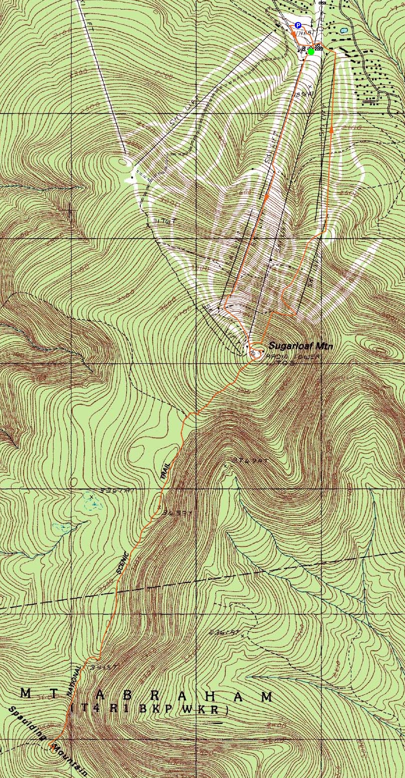
Trailheads, measurements, times, distances, and maps are all approximate and relative to the hike(s) as shown below.
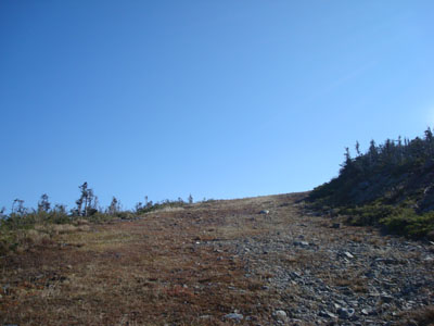
Looking up the Narrow Gauge Extension Trail
Route: Boardwalk, Upper Spillway, Narrow Gauge Extension, herd path, (Sugarloaf Mountain), Sugarloaf Side Trail, Appalachian Trail, Spaulding Mountain Spur, (Spaulding Mountain), Spaulding Mountain Spur, Appalachian Trail, Sugarloaf Side Trail, various ski trails
Finally, it was time to hike Sugarloaf. While I had planned to hike it on numerous occasions in the past, weather always seemed to interfere. Finally a nice weekend rolled in, allowing me to have nearly a full day of blue skies in the Rangeley area.
I was a bit surprised to see the upper parking lots of the ski area packed - it looked like there was some sort of race going on, along with scenic chairlift rides. After paying a quick visit to the lodge, I headed up the double-double chairlift lines to near the summit, then followed another trail across the old gondola line and to the highpoint.
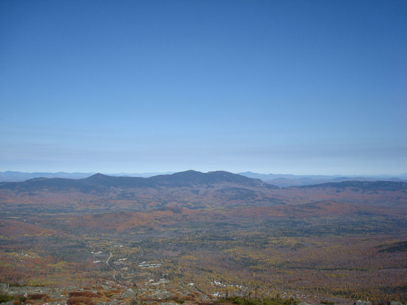
The views from the summit were tremendous - awesome blue sky, visibility reaching who knows how many miles. While I was tempted to hang out at the somewhat windy summit with the crowds, I decided to keep going to my second destination - Spaulding Mountain.
After reaching the trees again, the link trail to the Appalachian Trail descended fairly gradually. Once on the AT, the trail went over a bunch of ups and downs, gradually for the most part. While I had read that this section of trail is very scenic, I was a bit let down. Though there were some views, it looks like spruce growth has overtaken others.
As I neared Spaulding, I started to run out of energy - no doubt a combination of not yet having lunch, and having climbed Mt. Washington the day before. Though Spaulding loomed steeply in front of me, I decided to postpone my lunch break until I was at the top.
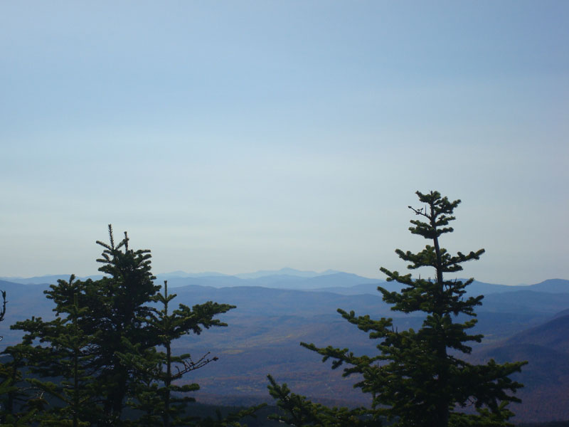
Starting at pretty much the lowpoint of this section of trail, the AT climbed somewhat steeply for a bit, before becoming more gradual as it passed along the western shoulder of the peak. Soon, I saw the intially steep spur trail to the summit and took that. While I had read that the summit is viewless, I did notice that there were multiple obstructed views in various directions - one from partway up the spur trail, another from the summit, and two more via herd paths near the summit. From the various vistas, Mt. Abraham, Sugarloaf Mountain, and even Mt. Washington were visible. Some minor pruning could turn this summit in to a very scenic place.
After having a late lunch, I headed back, not particularly enjoying the relatively long slog back across the ridge. While I wasn't looking forward to reascending Sugarloaf, it wasn't overly bad.
Back on the summit, the skies had clouded over a bit, but the views were still strong. Wanting to mix things up a bit, I descended the gondola line briefly, before crossing over and heading down one of the snowfield trails.
A nice hike - I wish the Rangeley area was closer!
| Hike Ratings |
|
Getting To Trailhead: |
Easy |
| Destination: |
Sugarloaf Mountain |
|
Length: |
Moderate |
|
Steepness: |
Difficult |
|
Navigation: |
Easy |
|
Views: |
Excellent |
|
Crowds: |
Heavy |
| Destination: |
Spaulding Mountain |
|
Length: |
Difficult |
|
Steepness: |
Difficult |
|
Navigation: |
Easy |
|
Views: |
Moderate |
|
Crowds: |
Minimal |
|
| Hike Stats |
|
Date Hiked: |
Sunday, October 12, 2008 |
| Hike Commenced: |
10:36 AM |
| Parking Elevation: |
1,710' |
| Destination: |
Sugarloaf Mountain |
| Ascent Commenced: |
10:44 AM |
| Summit Reached: |
11:50 AM |
| Time Elapsed: |
01:06 |
| Trailhead Elevation: |
1,770' |
| Summit Elevation: |
4,250' |
| Vertical Gain: |
2,480' |
| Destination: |
Spaulding Mountain |
| Ascent Commenced: |
11:53 AM |
| Summit Reached: |
1:13 PM |
| Time Elapsed: |
01:20 |
| Trailhead Elevation: |
4,250' |
| Summit Elevation: |
4,010' |
| Distance: |
2.8 miles |
| Vertical Gain: |
825' |
|
|
| Hike Ended: |
4:02 PM |
| Hike Time Elapsed: |
05:26 |
| Hike Vertical Gain: |
4,455' |
|
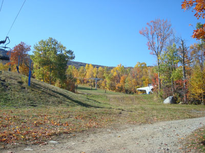
Looking up toward the Boardwalk Trail from near the Sugarloaf base lodge
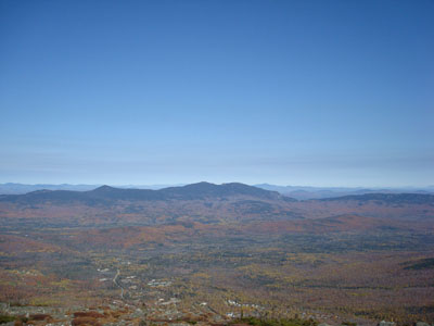
Looking at the Bigelows from the Sugarloaf Mountain summit
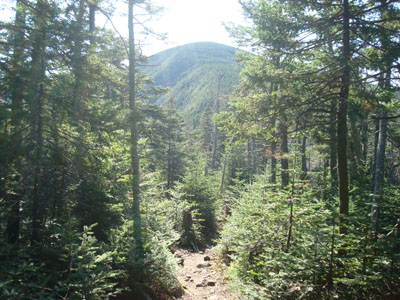
Looking at Spaulding Mountain from the Appalachian Trail
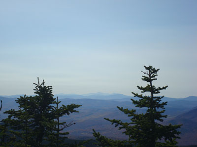
Looking at Mt. Washington from the Spaulding Mountain summit

Directions to trailhead: Take Route 16 North and East to Stratton. The Sugarloaf USA resort access will be on the right side of the road soon thereafter. Head staight up this road to the main lodge and parking lots.
Back to Sugarloaf Mountain Profile
Back to Spaulding Mountain Profile
|