Home
States
Colorado
Connecticut
Maine
Massachusetts
New Hampshire
New York
Rhode Island
Utah
Vermont
View All
Lists
NE 4,000 Footers
NE 100 Highest
NH 4,000 Footers
NH 100 Highest
NH 52 With A View
NH Belknap Range
NH Ossipee 10
Links
Trail Conditions
Trip Log
Sunrises
Sunsets
About
|
High Ledge
Shelburne, MA
Trailheads, measurements, times, distances, and maps are all approximate and relative to the hike(s) as shown below.
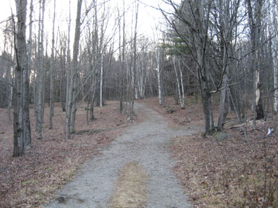
Road to High Ledge
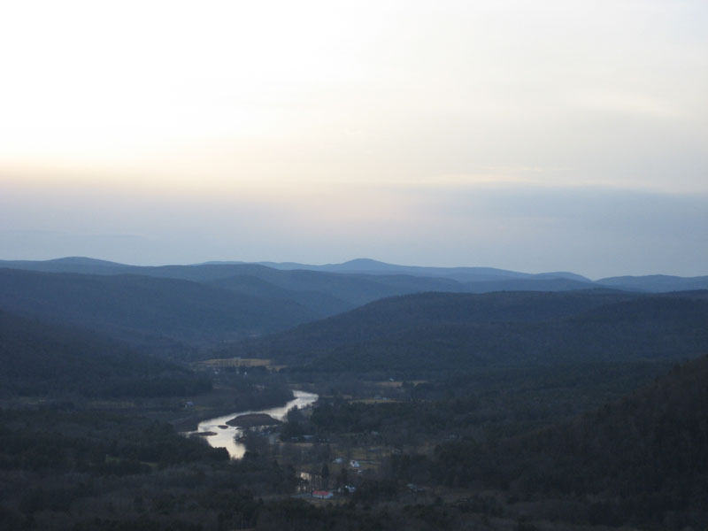
After doing 3 short to moderate hikes, I still had some time left to kill and decided to go to the High Ledges to see the sunset. On the drive up, I could see Mt. Monadnock in amazing detail, so I was certainly optimistic on the sunset possibilities. I was let down, however, to discover the clouds had moved in to the west. Nonetheless, I sat on the ledge for awhile and was able to get some work done, so everything wasn't lost.
| Hike Ratings |
|
Getting To Trailhead: |
Easy |
| Destination: |
High Ledge |
|
Length: |
Easy |
|
Steepness: |
Easy |
|
Navigation: |
Easy |
|
Views: |
Excellent |
|
Crowds: |
Moderate |
|
| Hike Stats |
|
Date Hiked: |
Sunday, January 7, 2007 |
| Hike Commenced: |
3:51 PM |
| Parking Elevation: |
1,326' |
| Destination: |
High Ledge |
| Ascent Commenced: |
3:52 PM |
| Summit Reached: |
4:04 PM |
| Trailhead Elevation: |
1,312' |
| Summit Elevation: |
1,268' |
| Vertical Gain: |
114' |
| Hike Ended: |
4:33 PM |
| Hike Vertical Gain: |
172' |
|
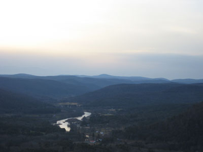
Looking west at Mt. Greylock
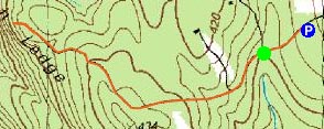

Directions to trailhead: Take Patton Hill Road northwest from Tower Road. Look for High Ledges sign on left side of road. Parking lot located a few hundred feet down the road.
Back to High Ledge Profile
|