Home
States
Colorado
Connecticut
Maine
Massachusetts
New Hampshire
New York
Rhode Island
Utah
Vermont
View All
Lists
NE 4,000 Footers
NE 100 Highest
NH 4,000 Footers
NH 100 Highest
NH 52 With A View
NH Belknap Range
NH Ossipee 10
Links
Trail Conditions
Trip Log
Sunrises
Sunsets
About
|
High Ledge, Massaemett Mountain
Shelburne, MA
Trailheads, measurements, times, distances, and maps are all approximate and relative to the hike(s) as shown below.
Sanctuary Road to the High Ledges
Route: Sanctuary Road, unnamed trail, Tower Road
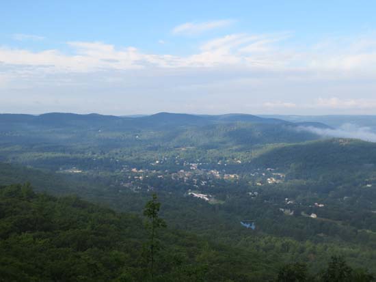
Gated roads and trails were mostly dry and in good shape (great for jogging). Nice morning views of the fog rising in the Deerfield River Valley near Shelburne Falls from the High Ledges. Good views as always from the rock fire tower on Massaemett.
| Hike Ratings |
|
Getting To Trailhead: |
Easy |
| Destination: |
High Ledge |
|
Length: |
Easy |
|
Steepness: |
Easy |
|
Navigation: |
Easy |
|
Views: |
Excellent |
|
Crowds: |
Minimal |
| Destination: |
Massaemett Mountain |
|
Length: |
Moderate |
|
Steepness: |
Easy |
|
Navigation: |
Moderate |
|
Views: |
Excellent |
|
Crowds: |
Minimal |
|
| Hike Stats |
|
Date Hiked: |
Sunday, July 14, 2013 |
| Parking Elevation: |
1,326' |
| Destination: |
High Ledge |
| Time Elapsed: |
00:09 |
| Trailhead Elevation: |
1,326' |
| Summit Elevation: |
1,268' |
| Vertical Gain: |
114' |
| Destination: |
Massaemett Mountain |
| Time Elapsed: |
00:14 |
| Trailhead Elevation: |
1,268' |
| Summit Elevation: |
1,588' |
| Vertical Gain: |
339' |
| Hike Time Elapsed: |
00:59 |
| Hike Vertical Gain: |
536' |
|
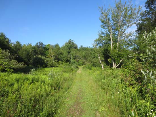
The start of the Sanctuary Road road walk
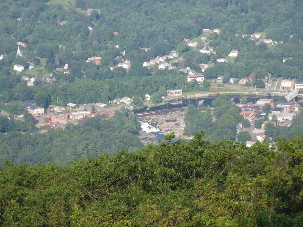
Looking at Shelburne Falls from the High Ledges
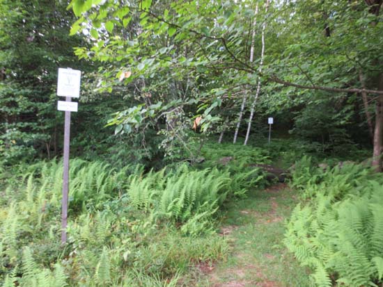
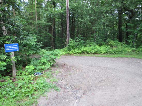
Heading onto the trail to Massaemett Mountain

Looking at the potholes in Shelburne Falls from the Massaemett Mountain fire tower
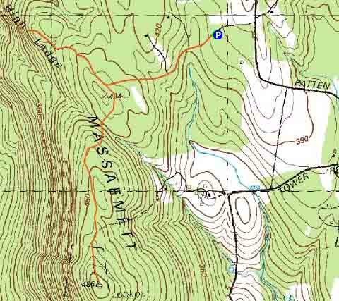

Directions to trailhead: Take Patton Road northwest from Tower Road. Look for High Ledges sign on left side of road. Parking lot located a few hundred feet down the road.
Back to High Ledge Profile
Back to Massaemett Mountain Profile
|