Home
States
Colorado
Connecticut
Maine
Massachusetts
New Hampshire
New York
Rhode Island
Utah
Vermont
View All
Lists
NE 4,000 Footers
NE 100 Highest
NH 4,000 Footers
NH 100 Highest
NH 52 With A View
NH Belknap Range
NH Ossipee 10
Links
Trail Conditions
Trip Log
Sunrises
Sunsets
About
|
Jericho Hill
Marlborough, MA
Trailheads, measurements, times, distances, and maps are all approximate and relative to the hike(s) as shown below.

The White Trail
Route: Ski trails, White Trail, bushwhack
Beelined up the old Jericho ski area, then took the white blazed hiking trail over the top, then bushwhacked to the highpoint (no redeeming qualities). Backtracked to the top of the ski area (decent views of the immediate area), then took an old ski trail down to the lower white blazed hiking trail.
| Hike Ratings |
|
Getting To Trailhead: |
Easy |
| Destination: |
Jericho Hill |
|
Length: |
Easy |
|
Steepness: |
Moderate |
|
Navigation: |
Moderate |
|
Views: |
Minimal |
|
Crowds: |
Minimal |
|
| Hike Stats |
|
Date Hiked: |
Monday, April 22, 2013 |
| Parking Elevation: |
415' |
| Destination: |
Jericho Hill |
| Time Elapsed: |
00:06 |
| Trailhead Elevation: |
415' |
| Summit Elevation: |
550' |
| Vertical Gain: |
180' |
|
|
| Hike Time Elapsed: |
00:18 |
| Hike Vertical Gain: |
220' |
|

The kiosk at Jericho Hill

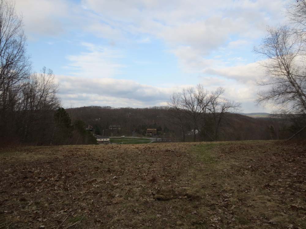
Looking east from the top of the old Jericho Hill ski area


Directions to trailhead: From US 20 East near Williams Lake, take a right onto Williams Street, then shortly thereafter take a left to remain on Williams Street, and then an immediate left onto Clover Hill Street. Take a right onto Brigham Street. Jericho Hill Recreation Area will be on the right shortly thereafter.
Back to Jericho Hill Profile
|