Home
States
Colorado
Connecticut
Maine
Massachusetts
New Hampshire
New York
Rhode Island
Utah
Vermont
View All
Lists
NE 4,000 Footers
NE 100 Highest
NH 4,000 Footers
NH 100 Highest
NH 52 With A View
NH Belknap Range
NH Ossipee 10
Links
Trail Conditions
Trip Log
Sunrises
Sunsets
About
|
Massaemett Mountain
Shelburne, MA
Trailheads, measurements, times, distances, and maps are all approximate and relative to the hike(s) as shown below.
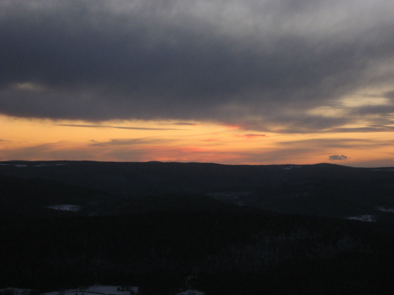
The last traces of daylight in the distance
Just about a month after hiking Massaemett on a 70 degree day, I ascended it in upper teen temperatures. After getting a late start on the trail, I witnessed much of the sunset on my way up. Nonetheless, upon reaching the top of the tower, there were still some colours to be seen.
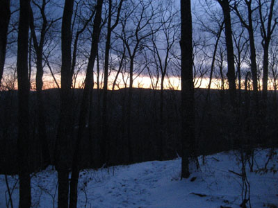
While there were some tracks up the snow covered trail, it appeared that I had been one of only a handful of people who had made the climb since the Friday night snowfall.
On the whole, the trail was in pretty good shape - some hidden ice patches in the middle section, but mostly just snow covered ground.
| Hike Ratings |
|
Getting To Trailhead: |
Easy |
| Destination: |
Massaemett Mountain |
|
Length: |
Moderate |
|
Steepness: |
Moderate |
|
Navigation: |
Easy |
|
Views: |
Excellent |
|
Crowds: |
Minimal |
|
| Hike Stats |
|
Date Hiked: |
Sunday, February 4, 2007 |
| Hike Commenced: |
4:45 PM |
| Parking Elevation: |
560' |
| Destination: |
Massaemett Mountain |
| Ascent Commenced: |
4:45 PM |
| Summit Reached: |
5:15 PM |
| Trailhead Elevation: |
560' |
| Summit Elevation: |
1,588' |
| Vertical Gain: |
1,028' |
| Hike Ended: |
5:55 PM |
| Hike Vertical Gain: |
1,028' |
|
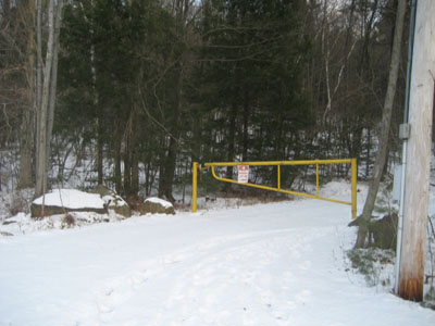
Road to the water tank
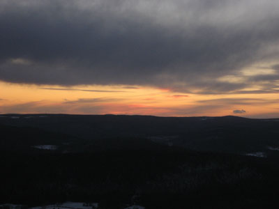
The very last bit of the sunset
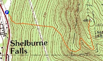

Directions to trailhead: Climbing a hill East on Route 2 after passing the 112 North exit, look for a small paved driveway on the left as the road levels out. The trail starts at the yellow gate.
Back to Massaemett Mountain Profile
|