Home
States
Colorado
Connecticut
Maine
Massachusetts
New Hampshire
New York
Rhode Island
Utah
Vermont
View All
Lists
NE 4,000 Footers
NE 100 Highest
NH 4,000 Footers
NH 100 Highest
NH 52 With A View
NH Belknap Range
NH Ossipee 10
Links
Trail Conditions
Trip Log
Sunrises
Sunsets
About
|
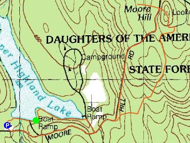
Moore Hill
Goshen, MA
Trailheads, measurements, times, distances, and maps are all approximate and relative to the hike(s) as shown below. "Summit" photos may in fact not be at the actual summit - but instead at the best nearby vista.
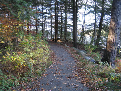
Lakeside Hiking Trail
Hiking to the Moore Hill fire tower from any DAR State Forest trail is a very easy hike. Despite having minimal vertical ascent, the summit offers superb five state views from the top of the tower.
| Hike Ratings |
|
Getting To Trailhead: |
Easy |
| Destination: |
Moore Hill |
|
Length: |
Easy |
|
Steepness: |
Easy |
|
Navigation: |
Easy |
|
Views: |
Excellent |
|
Crowds: |
Minimal |
|
| Hike Stats |
|
Date Hiked: |
Wednesday, October 25, 2006 |
| Hike Commenced: |
4:31 PM |
| Parking Elevation: |
1,440' |
| Destination: |
Moore Hill |
| Ascent Commenced: |
4:33 PM at Upper Lake boat launch trailhead |
| Summit Reached: |
5:06 PM |
| Trailhead Elevation: |
1,445' |
| Summit Elevation: |
1,697' |
| Vertical Gain: |
352' |
| Hike Ended: |
5:41 PM |
| Hike Vertical Gain: |
452' |
|
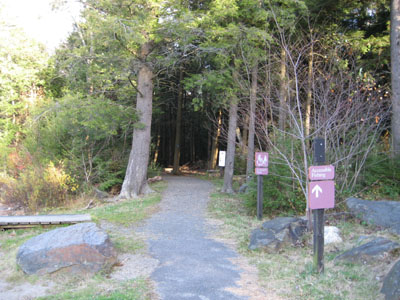
Trailhead near the boat launch

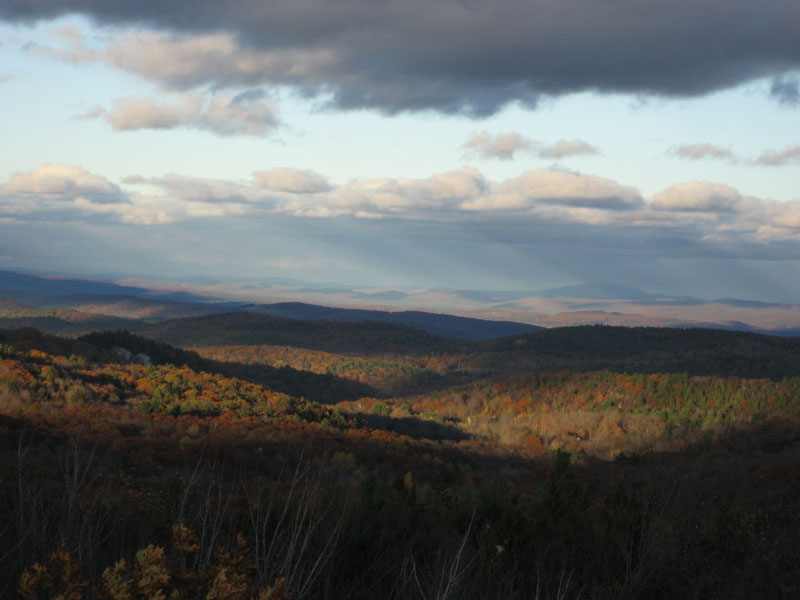
Looking north at Chapel Ledge and Mt. Monadnock

Directions to trailhead: Take Route 112 to the DAR entrance. Free parking offseason at entrance kiosk.
Back to Moore Hill Profile
|