Home
States
Colorado
Connecticut
Maine
Massachusetts
New Hampshire
New York
Rhode Island
Utah
Vermont
View All
Lists
NE 4,000 Footers
NE 100 Highest
NH 4,000 Footers
NH 100 Highest
NH 52 With A View
NH Belknap Range
NH Ossipee 10
Links
Trail Conditions
Trip Log
Sunrises
Sunsets
About
|
Mt. Institute
Charlemont, MA and Hawley, MA
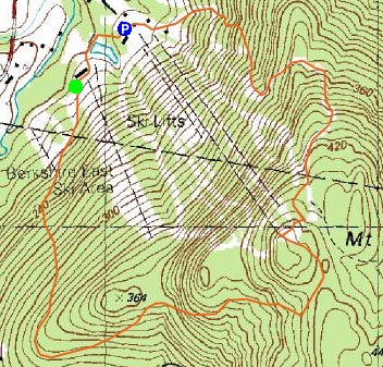
Trailheads, measurements, times, distances, and maps are all approximate and relative to the hike(s) as shown below.
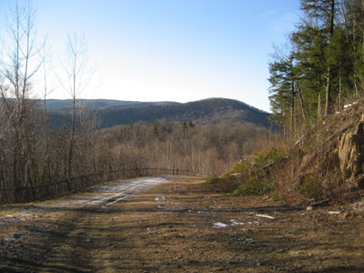
The Outback ski trail
I had an hour or two to hike on New Years Eve, so I decided to finish off the 2006 year on Mt. Institute. Due to the warm December, the Roundabout, Outback, and Mohawk ski trails only had traces of natural snow. There were a moderate amount of skiers on the open ski trails, however Outback, Roundabout, and Mohawk were all essentially abandoned.
The summit views were good as usual - I noticed for the first time that I could see the blueberry farms on top of Burnt Hill to the east through some trees.
| Hike Ratings |
|
Getting To Trailhead: |
Easy |
| Destination: |
Mt. Institute |
|
Length: |
Moderate |
|
Steepness: |
Moderate |
|
Navigation: |
Easy |
|
Views: |
Excellent |
|
Crowds: |
Moderate |
|
| Hike Stats |
|
Date Hiked: |
Sunday, December 31, 2006 |
| Hike Commenced: |
2:42 PM |
| Parking Elevation: |
587' |
| Destination: |
Mt. Institute |
| Ascent Commenced: |
2:46 PM |
| Summit Reached: |
3:18 PM |
| Trailhead Elevation: |
590' |
| Summit Elevation: |
1,538' |
| Vertical Gain: |
963' |
| Hike Ended: |
3:46 PM |
| Hike Vertical Gain: |
983' |
|
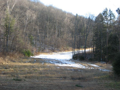
Looking up the Roundabout ski trail

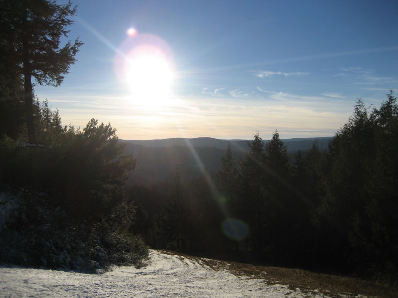
Looking west from the Mt. Institute summit

Directions to trailhead: Take South River Road east from Route 8A, then take a right onto Thunder Mountain Road. Park in the large parking lot.
Back to Mt. Institute Profile
|