Home
States
Colorado
Connecticut
Maine
Massachusetts
New Hampshire
New York
Rhode Island
Utah
Vermont
View All
Lists
NE 4,000 Footers
NE 100 Highest
NH 4,000 Footers
NH 100 Highest
NH 52 With A View
NH Belknap Range
NH Ossipee 10
Links
Trail Conditions
Trip Log
Sunrises
Sunsets
About
|
Mt. Institute
Charlemont, MA and Hawley, MA
Trailheads, measurements, times, distances, and maps are all approximate and relative to the hike(s) as shown below.
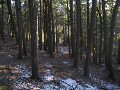
The trail down Horace's Grove
Initially, my plan was to hike Negus Mountain shortly after lunch. Work interfered and by the time I was able to start hiking, I only had an hour or so of sunlight left.
The extreme cold weather over the past few days had frozen up the Mohawk trail, making it easier to hike in some respects (no mud) but more difficult in other respects (more ice from frozen run off). Nonetheless, it was a nice, brisk, sunny hike.
| Hike Ratings |
|
Getting To Trailhead: |
Easy |
| Destination: |
Mt. Institute |
|
Length: |
Moderate |
|
Steepness: |
Difficult |
|
Navigation: |
Easy |
|
Views: |
Excellent |
|
Crowds: |
Moderate |
|
| Hike Stats |
|
Date Hiked: |
Sunday, January 21, 2007 |
| Hike Commenced: |
3:40 PM |
| Parking Elevation: |
587' |
| Destination: |
Mt. Institute |
| Ascent Commenced: |
3:41 PM |
| Summit Reached: |
4:08 PM |
| Trailhead Elevation: |
590' |
| Summit Elevation: |
1,538' |
| Vertical Gain: |
948' |
| Hike Ended: |
4:36 PM |
| Hike Vertical Gain: |
965' |
|
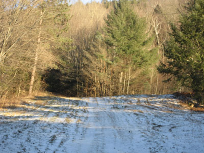
Looking up the Mohawk ski trail
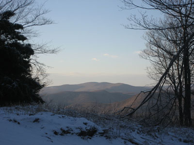
Looking northwest from near the Mt. Institute summit
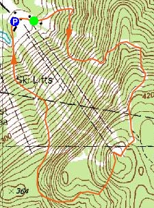

Directions to trailhead: Take South River Road east from Route 8A, then take a right onto Thunder Mountain Road. Park in the large parking lot.
Back to Mt. Institute Profile
|

