Home
States
Colorado
Connecticut
Maine
Massachusetts
New Hampshire
New York
Rhode Island
Utah
Vermont
View All
Lists
NE 4,000 Footers
NE 100 Highest
NH 4,000 Footers
NH 100 Highest
NH 52 With A View
NH Belknap Range
NH Ossipee 10
Links
Trail Conditions
Trip Log
Sunrises
Sunsets
About
|
Mt. Institute
Charlemont, MA, Hawley, MA
Trailheads, measurements, times, distances, and maps are all approximate and relative to the hike(s) as shown below.
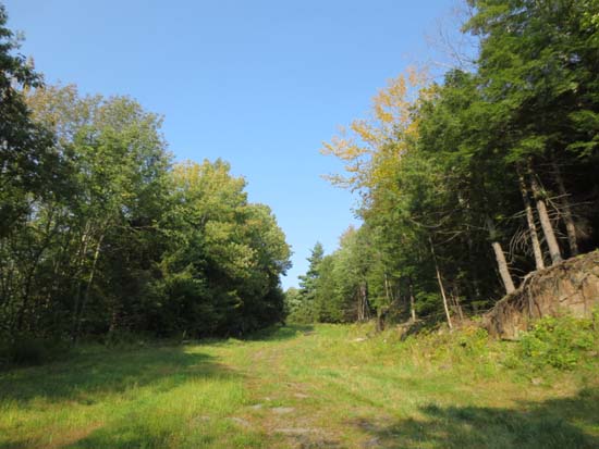
Looking up the Mohawk ski trail
Mt. Institute aka Berkshire East Ski Resort.
Trails were mostly dry and in good shape. Nicely mowed.
Neat to see all sorts of obstacles set up for the Bone Frog Challenge this coming Saturday - a new, tougher type of Tough Mudder event designed by Navy Seals.
Starting to see some golden foliage as well.
| Hike Ratings |
|
Getting To Trailhead: |
Easy |
| Destination: |
Mt. Institute |
|
Length: |
Moderate |
|
Steepness: |
Difficult |
|
Navigation: |
Easy |
|
Views: |
Excellent |
|
Crowds: |
Minimal |
|
| Hike Stats |
|
Date Hiked: |
Wednesday, September 11, 2013 |
| Hike Commenced: |
2:21 PM |
| Parking Elevation: |
580' |
| Destination: |
Mt. Institute |
| Time Elapsed: |
00:20 |
| Trailhead Elevation: |
590' |
| Summit Elevation: |
1,538' |
| Vertical Gain: |
948' |
|
|
| Hike Time Elapsed: |
01:05 |
| Hike Vertical Gain: |
965' |
|
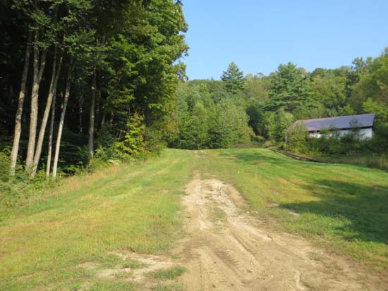
The bottom of the Mohawk ski trail
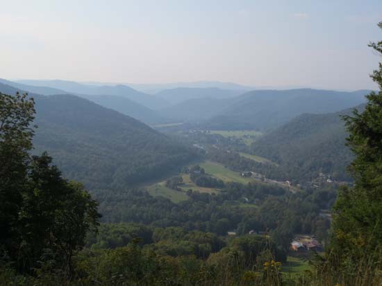
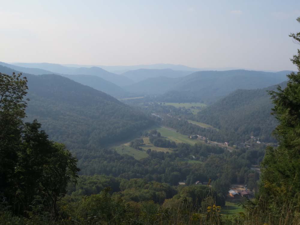
Looking up the Deerfield River valley from near the summit of Mt. Institute
Directions to trailhead: South River Road east from Route 8A, then take a right onto Thunder Mountain Road. Park in the large parking lot.
Back to Mt. Institute Profile
|