Home
States
Colorado
Connecticut
Maine
Massachusetts
New Hampshire
New York
Rhode Island
Utah
Vermont
View All
Lists
NE 4,000 Footers
NE 100 Highest
NH 4,000 Footers
NH 100 Highest
NH 52 With A View
NH Belknap Range
NH Ossipee 10
Links
Trail Conditions
Trip Log
Sunrises
Sunsets
About
|
Pocumtuck Rock
Deerfield, MA
Trailheads, measurements, times, distances, and maps are all approximate and relative to the hike(s) as shown below.

The Pocumtuck Ridge Trail near the abandoned Deerfield Academy ski area
Trail was damp in places from rain earlier in the day. Took the trail proper up (goes past the abandoned Deerfield Academy ski area) then went direct down the access road on the way out. Nice views as the fog started to burn off.
| Hike Ratings |
|
Getting To Trailhead: |
Easy |
| Destination: |
Pocumtuck Rock |
|
Length: |
Easy |
|
Steepness: |
Moderate |
|
Navigation: |
Moderate |
|
Views: |
Excellent |
|
Crowds: |
Minimal |
|
| Hike Stats |
|
Date Hiked: |
Tuesday, September 10, 2013 |
| Parking Elevation: |
537' |
| Destination: |
Pocumtuck Rock |
| Time Elapsed: |
00:15 |
| Trailhead Elevation: |
537' |
| Summit Elevation: |
852' |
| Vertical Gain: |
430' |
| Hike Time Elapsed: |
00:33 |
| Hike Vertical Gain: |
450' |
|

The start of the access road on Pine Nook Road

The abandoned Deerfield Academy ski area

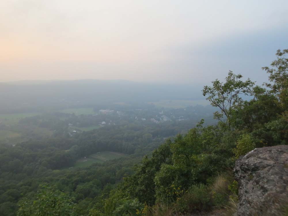
Looking at Deerfield from Pocumtuck Rock

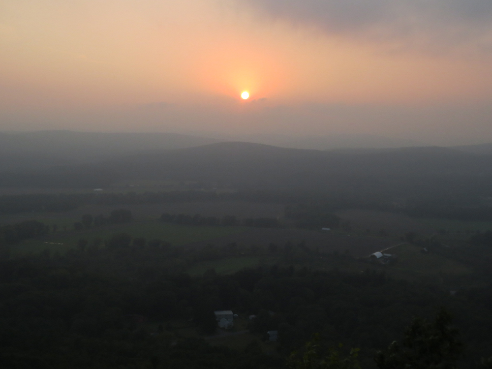
Sunset from Pocumtuck Rock


Directions to trailhead: Take Pine Nook Road to the top of the ridge. There are a few places to park near the gate.
Back to Pocumtuck Rock Profile
|