Home
States
Colorado
Connecticut
Maine
Massachusetts
New Hampshire
New York
Rhode Island
Utah
Vermont
View All
Lists
NE 4,000 Footers
NE 100 Highest
NH 4,000 Footers
NH 100 Highest
NH 52 With A View
NH Belknap Range
NH Ossipee 10
Links
Trail Conditions
Trip Log
Sunrises
Sunsets
About
|
Sachem Head
Greenfield, MA
Trailheads, measurements, times, distances, and maps are all approximate and relative to the hike(s) as shown below.
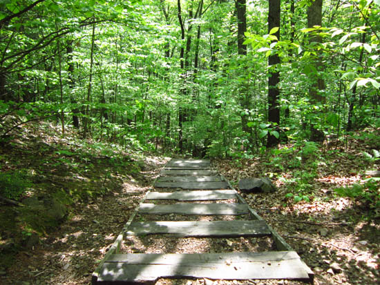
Looking down the stairs
Route: Sachem's Run, Pocumtuck Ridge Trail
Quick jog up to Sachem Head. Bugs not too bad.
| Hike Ratings |
|
Getting To Trailhead: |
Easy |
| Destination: |
Sachem Head |
|
Length: |
Easy |
|
Steepness: |
Difficult |
|
Navigation: |
Moderate |
|
Views: |
Excellent |
|
Crowds: |
Minimal |
|
| Hike Stats |
|
Date Hiked: |
Sunday, May 13, 2012 |
| Parking Elevation: |
305' |
| Destination: |
Sachem Head |
| Time Elapsed: |
00:06 |
| Trailhead Elevation: |
310' |
| Summit Elevation: |
452' |
| Vertical Gain: |
162' |
|
|
| Hike Time Elapsed: |
00:14 |
| Hike Vertical Gain: |
187' |
|
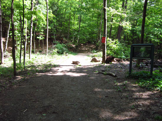
Sachem's Run trailhead
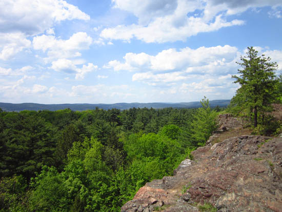
Looking north over Greenfield from Sachem Head
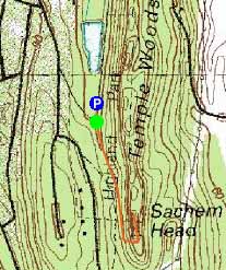

Directions to trailhead: Take Highland Avenue to Parkway Street. Parking lot just before pond.
Back to Sachem Head Profile
|

