Home
States
Colorado
Connecticut
Maine
Massachusetts
New Hampshire
New York
Rhode Island
Utah
Vermont
View All
Lists
NE 4,000 Footers
NE 100 Highest
NH 4,000 Footers
NH 100 Highest
NH 52 With A View
NH Belknap Range
NH Ossipee 10
Links
Trail Conditions
Trip Log
Sunrises
Sunsets
About
|
Belknap Mountain
Gilford, NH
Trailheads, measurements, times, distances, and maps are all approximate and relative to the hike(s) as shown below.

Looking up the Red Trail
Route: Carriage Road, Red Trail, (Belknap Mountain), Green Trail, Carriage Road
Carriage Road was decently packed by snowmobile traffic. Barebootable, but also good snowshoeing (no bare spots).
Red Trail had seen little recent use (perhaps one set of snowshoe tracks before the most recent storm). Probably about 2 feet of snowpack with some drifting up high. Snowpack supporting snowshoes decently. Snowshoes a must for this trail at the moment.
Green Trail was packed by snowmobiles and could probably be barebooted at the moment (there is some ice that's typical for that trail that isn't too far below the snowpack, so traction may be needed before long), but was ideal with snowshoes.
Some stiff wind gusts on the fire tower this evening!
| Hike Ratings |
|
Getting To Trailhead: |
Moderate |
| Destination: |
Belknap Mountain |
|
Length: |
Moderate |
|
Steepness: |
Difficult |
|
Navigation: |
Easy |
|
Views: |
Excellent |
|
Crowds: |
Minimal |
|
| Hike Stats |
|
Date Hiked: |
Tuesday, March 17, 2015 |
| Parking Elevation: |
1,030' |
| Time to Trailhead: |
00:23 |
| Destination: |
Belknap Mountain |
| Time Elapsed: |
00:33 |
| Trailhead Elevation: |
1,710' |
| Summit Elevation: |
2,382' |
| Vertical Gain: |
677' |
|
|
| Hike Time Elapsed: |
01:34 |
| Hike Vertical Gain: |
1,412' |
|

The Blue Trail trailhead

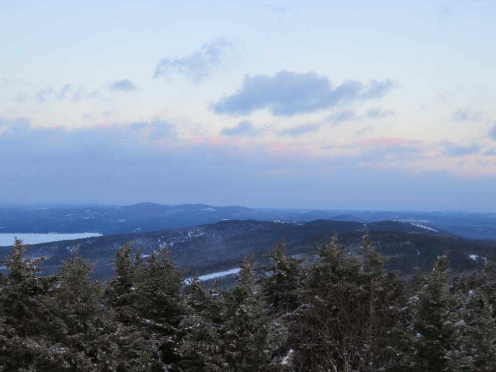
Looking toward Mt. Major from the Belknap Mountain fire tower

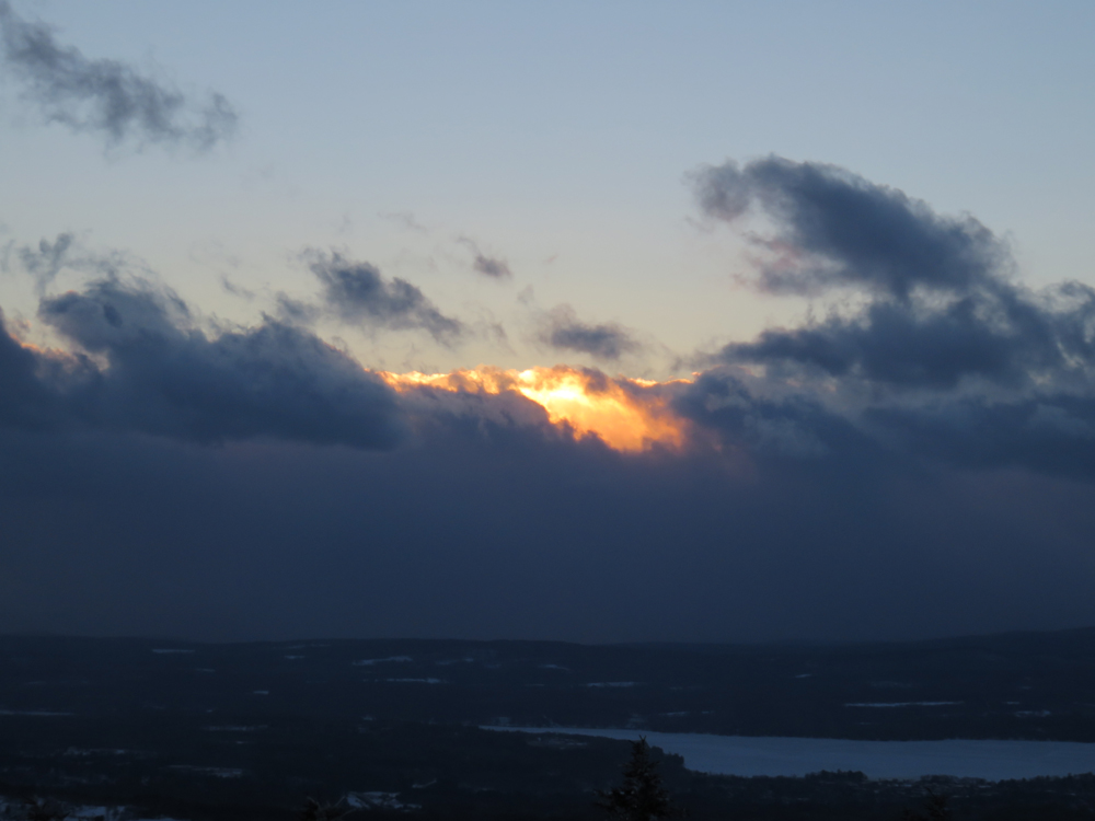
The sunset as seen from the Belknap Mountain fire tower
Directions to trailhead: From Route 11A East (from Route 3), take a right on Hoyt Road. Continue down this road as it becomes Belknap Mountain Road. Eventually, take a left onto the Carriage Road. In winter, the bulk of the Carriage Road is closed, but there is often room for a few vehicles to park near the gate.
Back to Belknap Mountain Profile
|