Home
States
Colorado
Connecticut
Maine
Massachusetts
New Hampshire
New York
Rhode Island
Utah
Vermont
View All
Lists
NE 4,000 Footers
NE 100 Highest
NH 4,000 Footers
NH 100 Highest
NH 52 With A View
NH Belknap Range
NH Ossipee 10
Links
Trail Conditions
Trip Log
Sunrises
Sunsets
About
|
Bog Mountain
Wilmot, NH
Trailheads, measurements, times, distances, and maps are all approximate and relative to the hike(s) as shown below.

The Bog Mountain Trail
Route: Bog Mountain Trail
In hiking Bog Mountain for the first time earlier in the month, it was quickly added to the sunset hike rotation.
Starting from the Stearns Road trailhead, I managed to jog only a few hundred feet, prior to needing to stop and put on Microspikes due to ice. A short while later, I resumed jogging to the summit, generally over dry ground, but nonetheless over some ice as well.
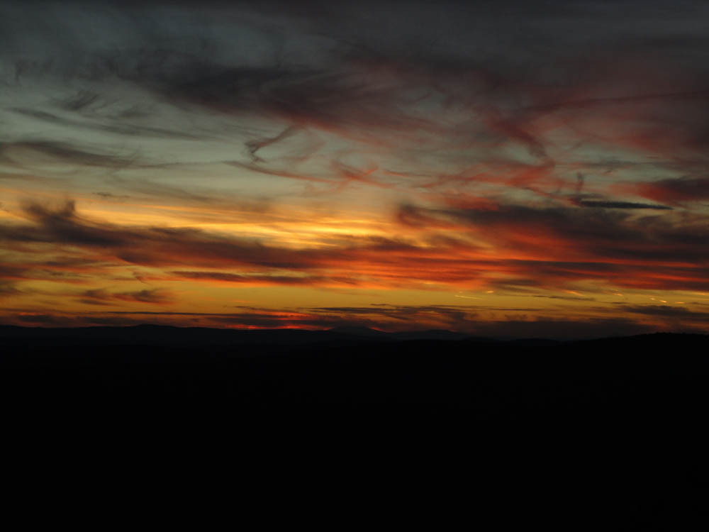
After following the faint herd path to the summit, I returned to the ledges for the beginning of the sunset. While at first it looked like the clouds may obscure it, they ended up contributing to a great display.
After watching the long display, we headed down, needing headlamps for the final fraction of a mile.
| Hike Ratings |
|
Getting To Trailhead: |
Easy |
| Destination: |
Bog Mountain |
|
Length: |
Moderate |
|
Steepness: |
Moderate |
|
Navigation: |
Easy |
|
Views: |
Excellent |
|
Crowds: |
Minimal |
|
| Hike Stats |
|
Date Hiked: |
Monday, November 29, 2010 |
| Hike Commenced: |
3:48 PM |
| Parking Elevation: |
1,210' |
| Destination: |
Bog Mountain |
| Ascent Commenced: |
3:31 PM |
| Summit Reached: |
3:49 PM |
| Time Elapsed: |
00:18 |
| Trailhead Elevation: |
1,205' |
| Summit Elevation: |
1,787' |
| Distance: |
1.1 miles |
| Vertical Gain: |
602' |
|
|
| Hike Ended: |
5:16 PM |
| Hike Time Elapsed: |
01:28 |
| Hike Vertical Gain: |
637' |
|

The Bog Mountain Trail trailhead on Stearns Road

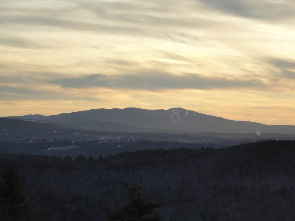
Mt. Sunapee as seen from the Bog Mountain ledges

The sunset as seen from the Bog Mountain ledges


Directions to trailhead: From Wilmot, take Route 4A northwest, then take a right onto Stearns Road. Shortly after passing a boggy area, the Bog Mountain Trail trailhead will be on the right. There is a small pull off for parking on the left, just uphill from the trailhead.
Back to Bog Mountain Profile
|