Home
States
Colorado
Connecticut
Maine
Massachusetts
New Hampshire
New York
Rhode Island
Utah
Vermont
View All
Lists
NE 4,000 Footers
NE 100 Highest
NH 4,000 Footers
NH 100 Highest
NH 52 With A View
NH Belknap Range
NH Ossipee 10
Links
Trail Conditions
Trip Log
Sunrises
Sunsets
About
|
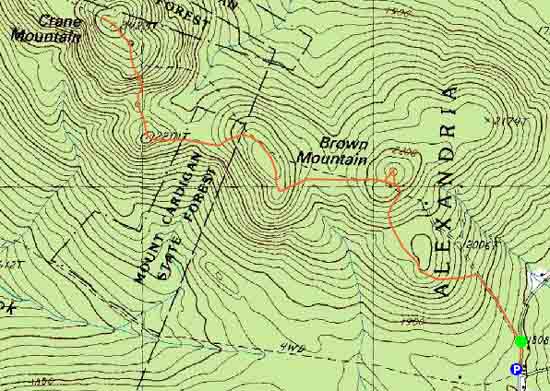
Brown Mountain, Church Mountain, Crane Mountain
Alexandria, NH, Orange, NH
Trailheads, measurements, times, distances, and maps are all approximate and relative to the hike(s) as shown below.
The Skyland Trail to Brown Mountain
Route: Skyland Trail
The Skyland Trail started off as a road walk on Knowles Hill and Church Hill Road, before pulling off and heading into the woods, passing by a meadow. Soon thereafter, it climbed up Brown Hill proper, passing an overgrown view ledge. From here, I bushwhacked north to what seemed to be the highpoint (no redeeming qualities), then back to the trail.
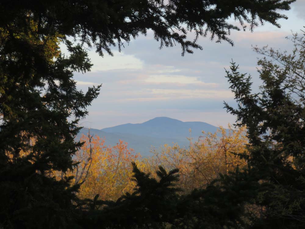
The trail then dropped down and climbed up to the southeast spur of Church Mountain, from where there was a framed view of Mt. Kearsarge. Continuing along the ridge, I soon reached a series of potential highpoints a few dozen feet to the left of the trail, then the ledgy junction of the Woodland Trail (slight views over the trees).
The next section of trail dropped down into some previously logged land, then climbed up to what I believe is called Grafton Knob (good views from some ledges), then crossed another logged area, then climbed somewhat steeply up the south side of Crane Mountain, from where there were also decent views if one steps off the trail.
While there were slight views from the ledgy summit (I was out of daylight, but it looks like one could push through the woods to some other ledges for better views), there were good views a minute or two past the highpoint on the Skyland Trail, including Cardigan proper and Vermont.
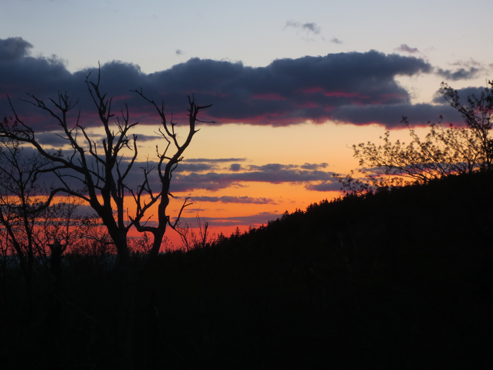
I had multiple good peaks at the sunset display as I jogged back down the trail, across the knob, and over Church Mountain. Fortunately at a jogging pace, I was able to make it back to the road portion of the hike before it got too dark, thus avoiding headlamp use.
| Hike Ratings |
|
Getting To Trailhead: |
Easy |
| Destination: |
Brown Mountain |
|
Length: |
Moderate |
|
Steepness: |
Moderate |
|
Navigation: |
Easy |
|
Views: |
Minimal |
|
Crowds: |
Minimal |
| Destination: |
Church Mountain |
|
Length: |
Moderate |
|
Steepness: |
Moderate |
|
Navigation: |
Easy |
|
Views: |
Moderate |
|
Crowds: |
Minimal |
| Destination: |
Crane Mountain |
|
Length: |
Moderate |
|
Steepness: |
Difficult |
|
Navigation: |
Moderate |
|
Views: |
Excellent |
|
Crowds: |
Minimal |
|
| Hike Stats |
|
Date Hiked: |
Tuesday, May 14, 2013 |
| Parking Elevation: |
1,805' |
| Destination: |
Brown Mountain |
| Time Elapsed: |
01:10 |
| Trailhead Elevation: |
1,808' |
| Summit Elevation: |
2,270' |
| Vertical Gain: |
472' |
| Destination: |
Church Mountain |
| Time Elapsed: |
01:10 |
| Trailhead Elevation: |
2,270' |
| Summit Elevation: |
2,270' |
| Vertical Gain: |
140' |
| Destination: |
Crane Mountain |
| Time Elapsed: |
01:10 |
| Trailhead Elevation: |
2,270' |
| Summit Elevation: |
2,423' |
| Vertical Gain: |
383' |
|
|
| Hike Time Elapsed: |
02:29 |
| Hike Vertical Gain: |
1,348' |
|
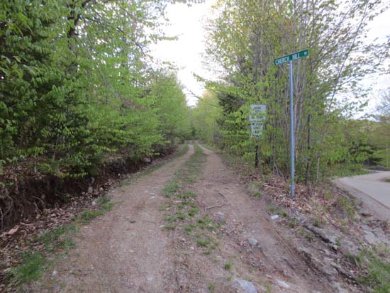
The start of Church Hill Road and the Skyland Trail

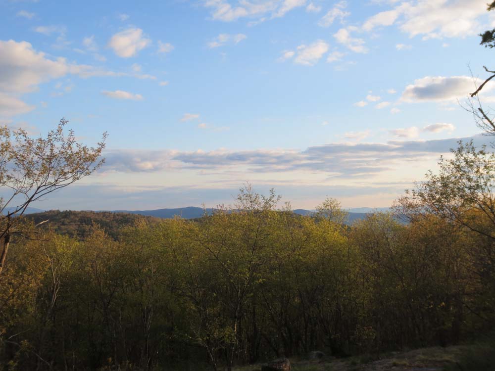
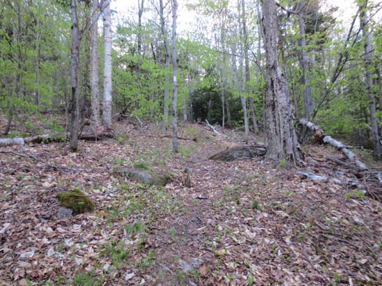
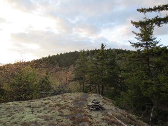
Slight views from near the summit of Brown Mountain
The Skyland Trail to Church Mountain
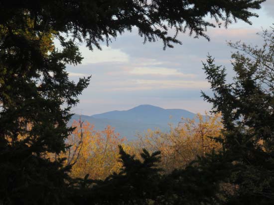
Mt. Kearsarge as seen from the southeast knob of Church Mountain
The Skyland Trail to Crane Mountain
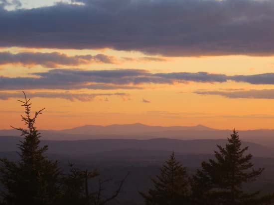
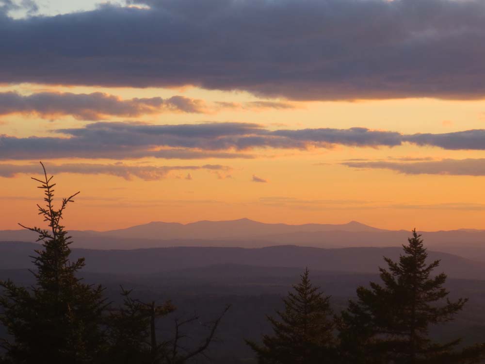
Killington and Pico as seen from near the summit of Crane Mountain

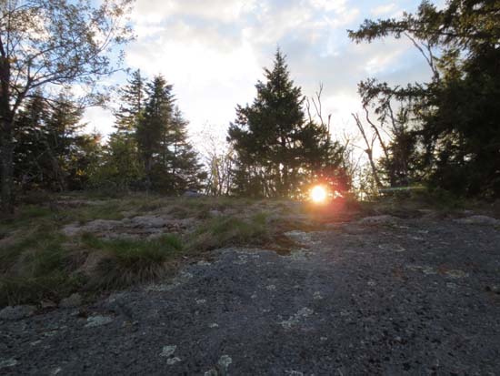
The sunset as seen from near the summit of Church Mountain

Directions to trailhead: From Bristol, Route 104 West, then take a right onto Taylor Hill Road. At the end of this, take a right onto Bohonnon Road, bearing right to stay on Bohonnon Road at a stop sign. Soon thereafter at a fork, bear right onto Wild Meadow Road. At the next fork, bear right again, soon passing by Grants Pond. Reaching a 4 way junction with Washburn Road and Knowles Hill Road, find a place to park roadside, then walk on Knowles Hill Road briefly, then take a left onto Church Hill Road. The Skyland Trail will eventually take a left off this road onto a grassy woods road.
Back to Brown Mountain Profile
Back to Church Mountain Profile
Back to Crane Mountain Profile
|