Home
States
Colorado
Connecticut
Maine
Massachusetts
New Hampshire
New York
Rhode Island
Utah
Vermont
View All
Lists
NE 4,000 Footers
NE 100 Highest
NH 4,000 Footers
NH 100 Highest
NH 52 With A View
NH Belknap Range
NH Ossipee 10
Links
Trail Conditions
Trip Log
Sunrises
Sunsets
About
|
Cannon Mountain
Franconia, NH
Trailheads, measurements, times, distances, and maps are all approximate and relative to the hike(s) as shown below.
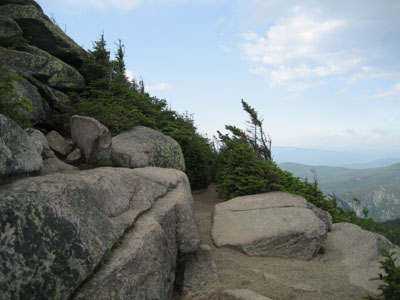
Kinsman Ridge Trail near the Cannon Mountain summit
Once again, the forecast wasn't looking great. Watching satellite, radar, and webcams for part of the day, I saw that Cannon appeared to be in the clear. Thus, I headed up to Franconia Notch.
Nearing Cannon, I saw an oddly colored sky. I have grown accustomed to skies that are, according to the Monkees, only shades of grey. However, today the skies appeared to be blue near Cannon. Surely, this must have been an oversight of some sort.
The ascent up the Kinsman Ridge Trail was as I remembered it - eroded. While the first portion has halfway decent footing on loose dirt, things became rocky as I reached the ski glade. Above the glade, there were pools of mud. I found navigation to be vague in a few places too, as blazes were faded and herd paths had formed.
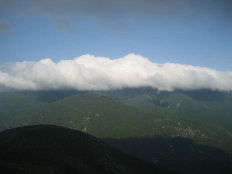
Reaching the summit tower, the views were pretty limited to the south, west, and north. To the east, the Franconia Ridge was obscured by clouds, under blue skies.
The descent was pretty quiet, as the tramway had been closed for an hour or two at this point.
| Hike Ratings |
|
Getting To Trailhead: |
Easy |
| Destination: |
Cannon Mountain |
|
Length: |
Moderate |
|
Steepness: |
Very Difficult |
|
Navigation: |
Moderate |
|
Views: |
Excellent |
|
Crowds: |
Moderate |
|
| Hike Stats |
|
Date Hiked: |
Tuesday, June 30, 2009 |
| Hike Commenced: |
4:27 PM |
| Parking Elevation: |
1,965' |
| Destination: |
Cannon Mountain |
| Ascent Commenced: |
4:30 PM |
| Summit Reached: |
5:45 PM |
| Time Elapsed: |
01:15 |
| Trailhead Elevation: |
1,975' |
| Summit Elevation: |
4,100' |
| Vertical Gain: |
2,270' |
|
|
| Hike Ended: |
7:23 PM |
| Hike Time Elapsed: |
02:56 |
| Hike Vertical Gain: |
2,425' |
|
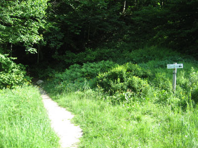
Kinsman Ridge Trail trailhead near the base of the tramway
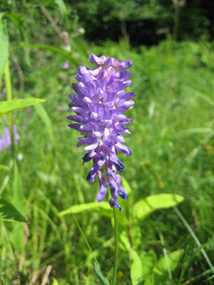
Cow Vetch as seen near the Kinsman Ridge Trail trailhead
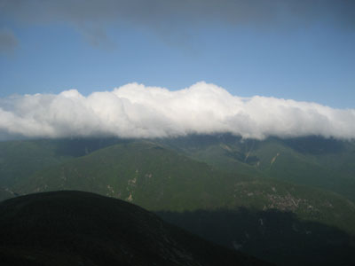
Looking east at the Franconia Ridge from the Cannon Mountain observation deck


Directions to trailhead: Take I-93 North to the Cannon Mountain Tramway exit. The dirt road to the trailhead is to the left when looking at the mountain from the parking lot.
Back to Cannon Mountain Profile
|