Home
States
Colorado
Connecticut
Maine
Massachusetts
New Hampshire
New York
Rhode Island
Utah
Vermont
View All
Lists
NE 4,000 Footers
NE 100 Highest
NH 4,000 Footers
NH 100 Highest
NH 52 With A View
NH Belknap Range
NH Ossipee 10
Links
Trail Conditions
Trip Log
Sunrises
Sunsets
About
|
Cascade Mountain, Mt. Hayes
Shelburne, NH, Success, NH, Gorham, NH
Trailheads, measurements, times, distances, and maps are all approximate and relative to the hike(s) as shown below.
The Mahoosuc Trail on the way to Cascade Mountain
Route: Peabody Brook Trail, Great Falls Spur, Baldcap Ledges Spur, Mahoosuc Trail
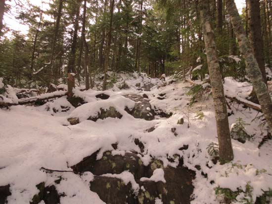
Classic shoulder season conditions. Mixture of dry trail and mud down low, transition into 1-2 inches of snow not long thereafter. Peabody Brook Trail was generally good going until reaching Baldcap Ledges Spur (nice views, but it's almost a mile roundtrip with some vertical). Between that junction and the Dryad Falls Trail junction, quite a few areas of mud and puddles with a little bit of recent beaver activity noted. Dream Lake was iced over.
Mahoousc Trail from there to Centennial Trail junction was a bit sloppy with an inch or two of snow, some slippery ledges, occasional ice (avoidable with care), and mud. A few nice view ledges along the way. Cascade Mountain was underwhelming with essentially no views from the top. Found the probably highpoint to be maybe 50 feet off the trail. Decent climb up Mt. Hayes toward the end of the day.
From Centennial over the summit and to the excellent southern view ledges was wet in places, but not too bad. Decent from the ledges was rough - looks like water flows directly down the trail, making it quite rocky for a good stretch. Some mudpits in the flatter areas.
Made it through the whole hike without needing traction, but if the partially melted stuff sets up overnight, it would be helpful to have Microspikes handy.
| Hike Ratings |
|
Getting To Trailhead: |
Easy |
| Destination: |
Cascade Mountain |
|
Length: |
Moderate |
|
Steepness: |
Difficult |
|
Navigation: |
Easy |
|
Views: |
Minimal |
|
Crowds: |
Minimal |
| Destination: |
Mt. Hayes |
|
Length: |
Difficult |
|
Steepness: |
Difficult |
|
Navigation: |
Moderate |
|
Views: |
Excellent |
|
Crowds: |
Minimal |
|
| Hike Stats |
|
Date Hiked: |
Sunday, November 11, 2012 |
| Parking Elevation: |
750' |
| Destination: |
Cascade Mountain |
| Time Elapsed: |
06:18 |
| Trailhead Elevation: |
750' |
| Summit Elevation: |
2,630' |
| Vertical Gain: |
3,680' |
| Destination: |
Mt. Hayes |
| Time Elapsed: |
01:06 |
| Trailhead Elevation: |
2,630' |
| Summit Elevation: |
2,555' |
| Vertical Gain: |
655' |
|
|
| Hike Time Elapsed: |
08:55 |
| Hike Vertical Gain: |
4,395 |
|
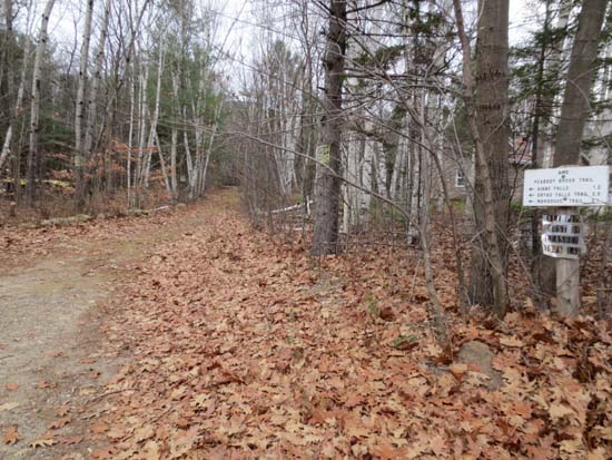
The Peabody Brook Trail trailhead
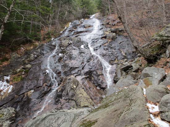
Giant Falls
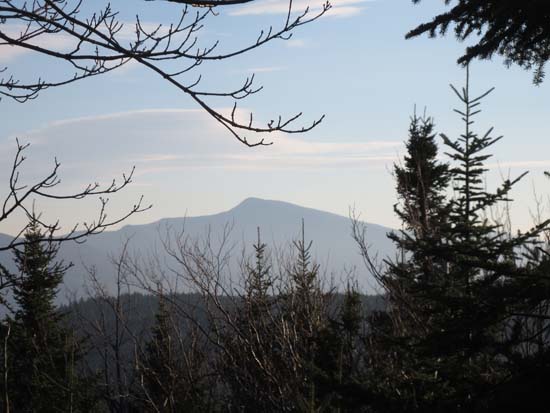
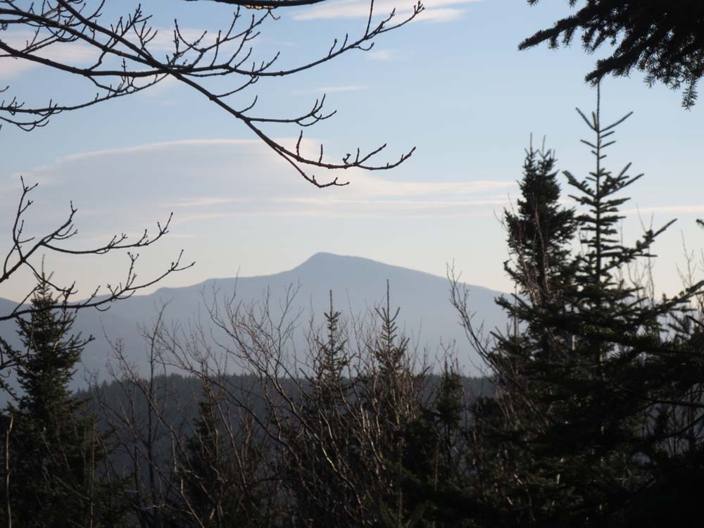
Slight views south from Cascade Mountain
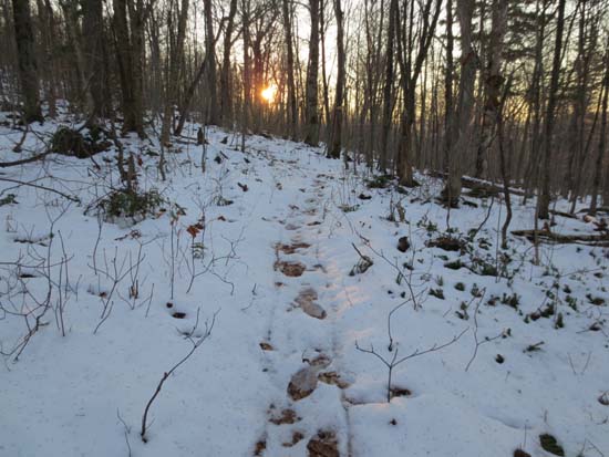
The Mahoosuc Trail on the way to Mt. Hayes
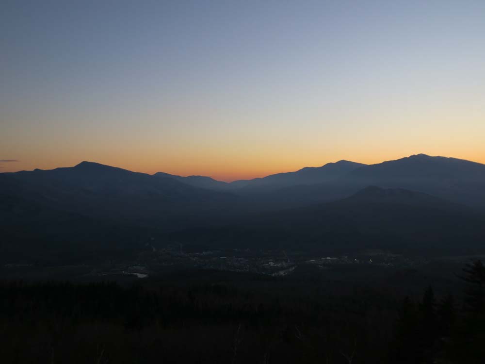
Pinkham Notch as seen from the Mt. Hayes ledges
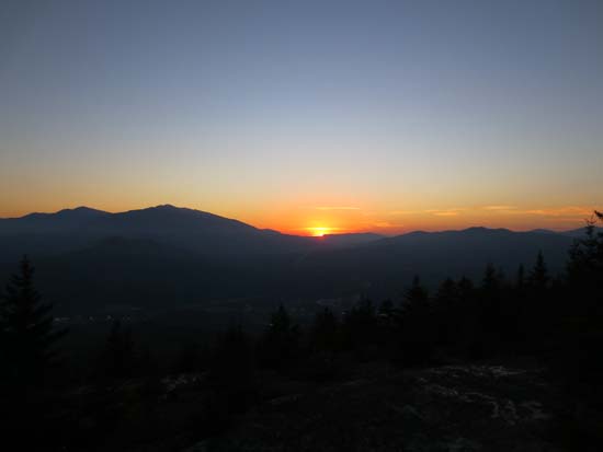
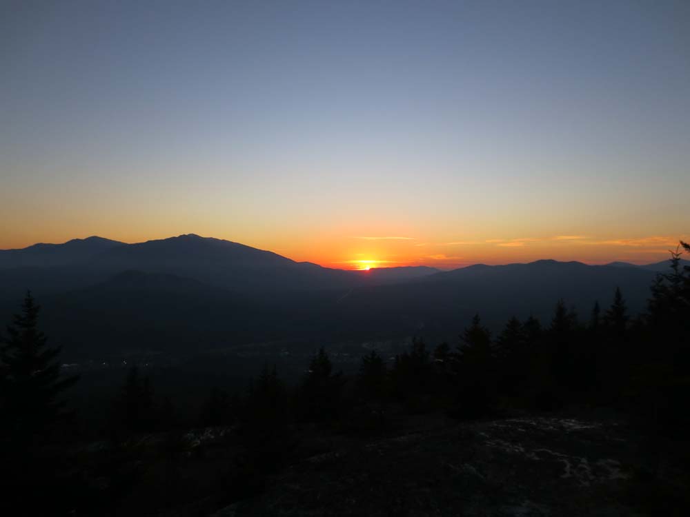
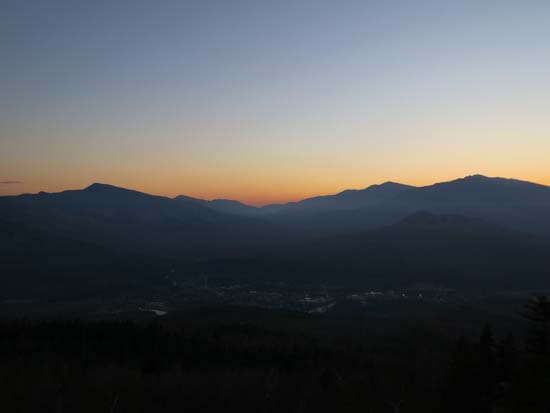
The sunset from the Mt. Hayes ledges
Directions to trailhead: Take US 2 East of Gorham, take a left onto North Road. The Peabody Brook Trail trailhead will eventually be on the left, between two houses. There is limited room to park on the opposite side of the road.
Back to Cascade Mountain Profile
Back to Mt. Hayes Profile
|