Home
States
Colorado
Connecticut
Maine
Massachusetts
New Hampshire
New York
Rhode Island
Utah
Vermont
View All
Lists
NE 4,000 Footers
NE 100 Highest
NH 4,000 Footers
NH 100 Highest
NH 52 With A View
NH Belknap Range
NH Ossipee 10
Links
Trail Conditions
Trip Log
Sunrises
Sunsets
About
|
Cedar Mountain, Mt. Major
Alton, NH
Trailheads, measurements, times, distances, and maps are all approximate and relative to the hike(s) as shown below.
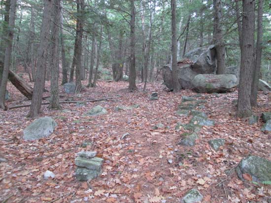
The path to Cedar Mountain
Route: Boulder Loop Trail, Beaver Pond Trail, logging road, herd path, Bay View Trail, bushwhack, Beeline Trail, Mt. Major Trail
To ascend Cedar Mountain, I took the Boulder Loop to the Beaver Pond Trail. I then took the Beaver Pond Trail for 0.4 miles, then took a left onto a logging road, soon bearing right where the main road continued left. This eventually turned into a quasi-marked herd path up to the Cedar Mountain ridge. Lots of ledgy blueberry patches, but I didn't find any spectacular viewpoints. From the Beaver Pond Trail to the summit was 0.5 miles. Mostly dry with a little mud just before leaving the logging road.
I then returned to the Boulder Loop and took it briefly to the Bay View (sort of have to know where this one is, especially with abundant leaves on the ground), then bushwhacked over to the Bee Line and took that to the Mt. Major Trail to the summit, then doubled down the Mt. Major Trail. Lots of leaves and some ledge was wet.
Likely due to Halloween, I did not see a single person and was the only vehicle in the parking lot upon returning around sunset.
| Hike Ratings |
|
Getting To Trailhead: |
Easy |
| Destination: |
Cedar Mountain |
|
Length: |
Moderate |
|
Steepness: |
Difficult |
|
Navigation: |
Moderate |
|
Views: |
Excellent |
|
Crowds: |
Minimal |
| Destination: |
Mt. Major |
|
Length: |
Moderate |
|
Steepness: |
Difficult |
|
Navigation: |
Moderate |
|
Views: |
Excellent |
|
Crowds: |
Minimal |
|
| Hike Stats |
|
Date Hiked: |
Friday, October 31, 2014 |
| Parking Elevation: |
640' |
| Destination: |
Cedar Mountain |
| Time Elapsed: |
00:27 |
| Trailhead Elevation: |
640' |
| Summit Elevation: |
1,082' |
| Vertical Gain: |
562' |
| Destination: |
Mt. Major |
| Time Elapsed: |
00:32 |
| Trailhead Elevation: |
1,082' |
| Summit Elevation: |
1,786' |
| Vertical Gain: |
1,006' |
|
|
| Hike Time Elapsed: |
02:30 |
| Hike Vertical Gain: |
1,578' |
|
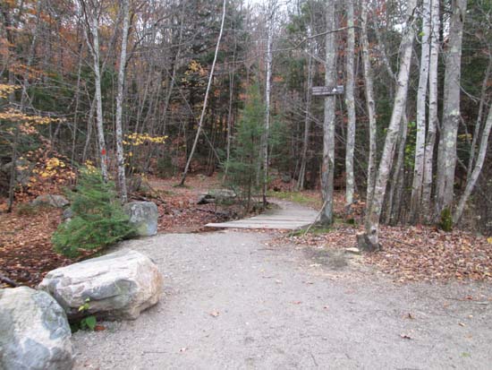
The Boulder Loop Trailhead
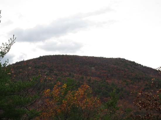
Mt. Major as seen from near the summit of Cedar Mountain
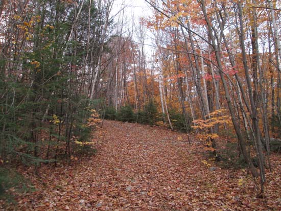
The Beaver Pond Trail between the peaks
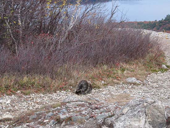
A porcupine atop Mt. Major
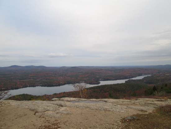
Alton Bay as seen from Mt. Major
Directions to trailhead: Take Route 11 West (north in reality) from Alton Bay. Parking lot and trailhead are on the left after the blasted out section of Route 11.
Back to Cedar Mountain Profile
Back to Mt. Major Profile
|


