Home
States
Colorado
Connecticut
Maine
Massachusetts
New Hampshire
New York
Rhode Island
Utah
Vermont
View All
Lists
NE 4,000 Footers
NE 100 Highest
NH 4,000 Footers
NH 100 Highest
NH 52 With A View
NH Belknap Range
NH Ossipee 10
Links
Trail Conditions
Trip Log
Sunrises
Sunsets
About
|
Downing Mountain
Ellsworth, NH
Trailheads, measurements, times, distances, and maps are all approximate and relative to the hike(s) as shown below.
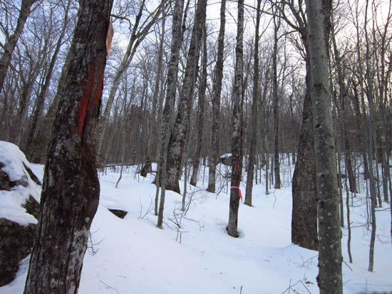
The forest boundary on the northern slope of Downing Mountain
Route: Bushwhack
After bushwhacking to the run peak a few weeks earlier (using a vague map), I returned to the Stinson Lake area to bushwhack to the summit of Downing Mountain.
Parking at the end of the plowed portion of Stinson Lake Road, I generally followed the USFS boundary line for the first part of the open woods bushwhack, then continued straight up the fall line when the boundary departed along a contour.
After reaching the wooded highpoint, I headed over to an excellent vista ledge, which provided excellent views of Stinson Lake, Carr Mountain, and Stinson Mountain, as well as partial views of Mt. Moosilauke's South Peak.
| Hike Ratings |
|
Getting To Trailhead: |
Easy |
| Destination: |
Downing Mountain |
|
Length: |
Moderate |
|
Steepness: |
Difficult |
|
Navigation: |
Difficult |
|
Views: |
Excellent |
|
Crowds: |
Minimal |
|
| Hike Stats |
|
Date Hiked: |
Wednesday, February 8, 2012 |
| Parking Elevation: |
1,240' |
| Destination: |
Downing Mountain |
| Time Elapsed: |
00:31 |
| Trailhead Elevation: |
1,240' |
| Summit Elevation: |
2,091' |
| Vertical Gain: |
851' |
|
|
| Hike Time Elapsed: |
01:03 |
| Hike Vertical Gain: |
851' |
|
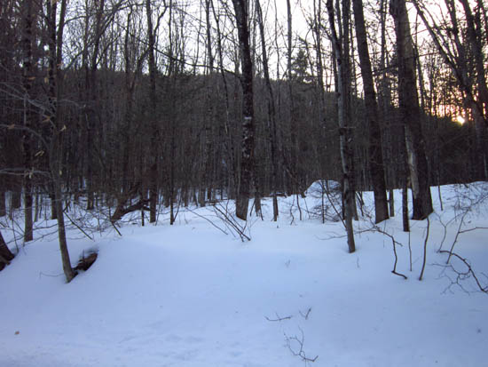
Entering the woods from near the end of the plowed portion of Stinson Lake Road, just past Buzzell Road
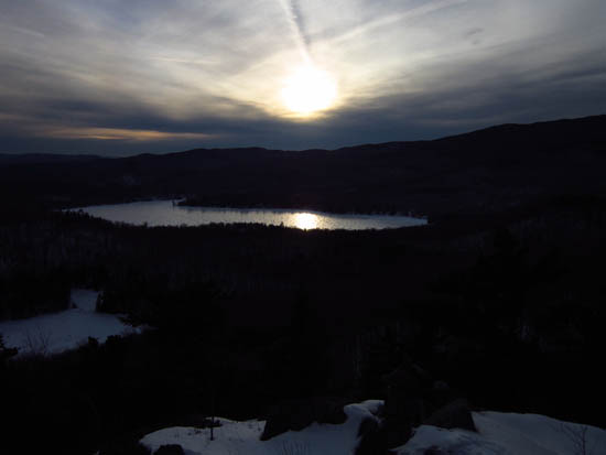
Stinson Lake as seen from near the summit of Downing Mountain


Directions to trailhead: From Rumney, take Stinson Lake Road past Stinson Lake. The road will eventually be signed as not maintained for winter travel, however in winter 2012, it was plowed (though not sanded) to a residential area. At the end of the plowed portion, shortly past Buzzell Road and just past the WMNF boundary, there was a turnaround area with a little room to park.
Back to Downing Mountain Profile
|

