Home
States
Colorado
Connecticut
Maine
Massachusetts
New Hampshire
New York
Rhode Island
Utah
Vermont
View All
Lists
NE 4,000 Footers
NE 100 Highest
NH 4,000 Footers
NH 100 Highest
NH 52 With A View
NH Belknap Range
NH Ossipee 10
Links
Trail Conditions
Trip Log
Sunrises
Sunsets
About
|
Gunstock Mountain
Gilford, NH
Trailheads, measurements, times, distances, and maps are all approximate and relative to the hike(s) as shown below.
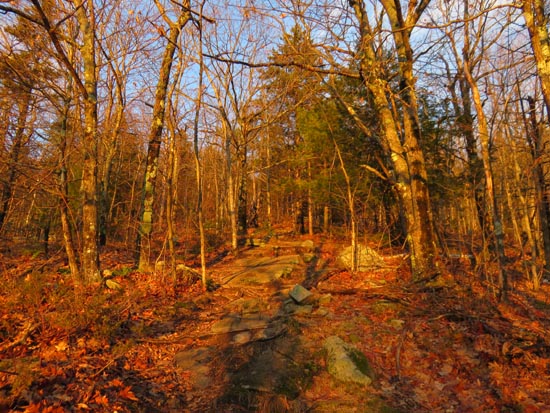
Looking up the Gunstock Mountain Trail
Route: Carriage Road, Gunstock Mountain Trail, (Gunstock Mountain)
Lower half of the trail was damp (appears it was raked or leaf blown, so not too slippery), while the upper half had lots of wet ledge. A few isolated patches of man made snow on the ski trails with snow guns hosed up for the brief snowmaking window.
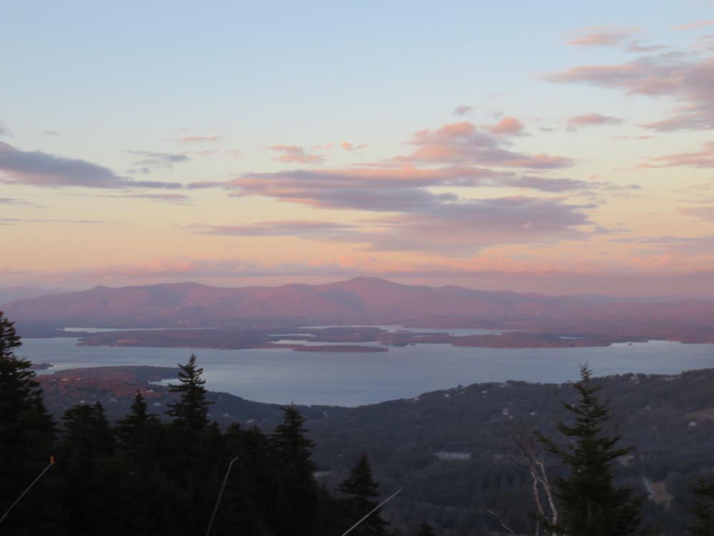
Nice sunset from the ledges partway down the Gunstock Mountain Trail.
| Hike Ratings |
|
Getting To Trailhead: |
Easy |
| Destination: |
Gunstock Mountain |
|
Length: |
Moderate |
|
Steepness: |
Moderate |
|
Navigation: |
Easy |
|
Views: |
Excellent |
|
Crowds: |
Minimal |
|
| Hike Stats |
|
Date Hiked: |
Friday, December 18, 2015 |
| Parking Elevation: |
1,030' |
| Destination: |
Gunstock Mountain |
| Time Elapsed: |
00:23 |
| Trailhead Elevation: |
1,020' |
| Summit Elevation: |
2,245' |
| Vertical Gain: |
1,225' |
|
|
| Hike Time Elapsed: |
01:01 |
| Hike Vertical Gain: |
1,225' |
|
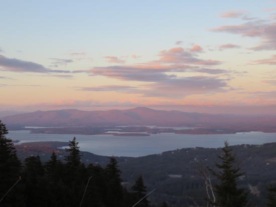
Looking at the Ossipees from Gunstock Mountain
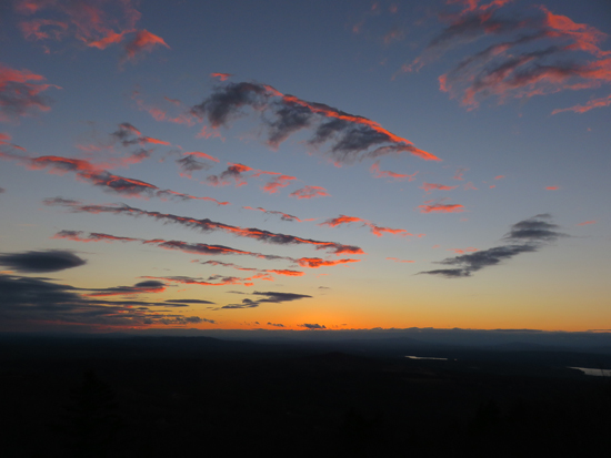
The sunset from the ledges off the Gunstock Mountain Trail
Directions to trailhead: From Route 11A East (from Route 3), take a right on Hoyt Road. Continue down this road as it becomes Belknap Mountain Road. Look for Carriage Road on your left - offseason parking is at the gate.
Back to Gunstock Mountain Profile
|