Home
States
Colorado
Connecticut
Maine
Massachusetts
New Hampshire
New York
Rhode Island
Utah
Vermont
View All
Lists
NE 4,000 Footers
NE 100 Highest
NH 4,000 Footers
NH 100 Highest
NH 52 With A View
NH Belknap Range
NH Ossipee 10
Links
Trail Conditions
Trip Log
Sunrises
Sunsets
About
|
Harper Hill
New Hampton, NH
Trailheads, measurements, times, distances, and maps are all approximate and relative to the hike(s) as shown below.

A logging road on the way to Harper Hill
Route: Logging roads, bushwhacks
Saw this one sticking out due to recent logging from the Ossipees and Belknaps, so decided to give it a go.
Bushwhacked in from Lindsay Lane on some old skid lanes, then hopped onto a logging road that looks like it could become a housing development road soon, which could cause access issues.
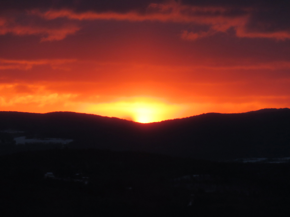
Upon reaching the cone of Harper, I beelined up to the east peak for the sunrise. Though partially obstructed by remaining hardwood trees, the views are nonetheless expansive, ranging from Sandwich Dome to the north to the Belknaps to Forbes et al to the southwest.
After the sunrise, I continued on skid roads to what the USGS shows as the highest contour; some peakaboo views. A few candidates for highpoint, but the east peak doesn't seem much lower.
Down low, the snow pack was a frozen granular base with 1-2 inches of powder. This quickly increased to 4-6 inches of powder. I wore snowshoes roundtrip and was glad to have them. My tracks were quickly blowing in with the windy conditions.
Overall, it's not the most attractive peak at the moment due to the large logging operation awhile back, but the views were nice.
| Hike Ratings |
|
Getting To Trailhead: |
Difficult |
| Destination: |
Harper Hill |
|
Length: |
Moderate |
|
Steepness: |
Difficult |
|
Navigation: |
Difficult |
|
Views: |
Excellent |
|
Crowds: |
Minimal |
|
| Hike Stats |
|
Date Hiked: |
Tuesday, January 19, 2016 |
| Parking Elevation: |
640' |
| Destination: |
Harper Hill |
| Time Elapsed: |
00:38 |
| Trailhead Elevation: |
640' |
| Summit Elevation: |
1,210' |
| Vertical Gain: |
650' |
|
|
| Hike Time Elapsed: |
01:10 |
| Hike Vertical Gain: |
700' |
|

The sunrise from near the summit of Harper Hill

Hersey Mountain as seen from near the summit of Harper Hill


Directions to trailhead:
Back to Harper Hill Profile
|