Home
States
Colorado
Connecticut
Maine
Massachusetts
New Hampshire
New York
Rhode Island
Utah
Vermont
View All
Lists
NE 4,000 Footers
NE 100 Highest
NH 4,000 Footers
NH 100 Highest
NH 52 With A View
NH Belknap Range
NH Ossipee 10
Links
Trail Conditions
Trip Log
Sunrises
Sunsets
About
|
Hubbard Hill, Jackson Hill, Pitcher Mountain
Stoddard, NH
Trailheads, measurements, times, distances, and maps are all approximate and relative to the hike(s) as shown below.

Hubbard Hill Road
Route: Hubbard Hill Road, Monadnock-Sunapee Greenway, (Hubbard Hill), Monadnock-Sunapee Greenway, (Jackson Hill), Monadnock-Sunapee Greenway, (Hubbard Hill), Monadnock-Sunapee Greenway, Pitcher Mountain Trail
Somewhat tiring conditions today, as increasing temperatures made the snowpack wet/sticky.
Hubbard Hill Road (gated) had a good 8-12" of snowpack on it. We broke out a snowshoe track adjacent to a nordic ski track.
From Hubbard Hill, we continued on the Greenway (a foot trail at this point, instead of a roadwalk) over to Jackson. I don't think the ground was frozen, so the snow was melting from both sides. In some places the snowpack was as minimal as an inch.
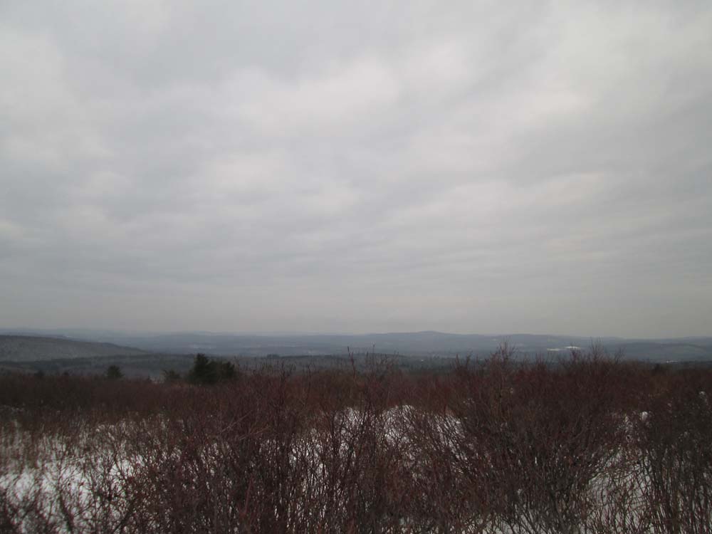
Hazy conditions diminished view potential, but both Hubbard and Jackson had wide vistas from somewhat open summits (in the case of Hubbard, it appeared to be a high bush blueberry field).
On the return trip, we took the northern end of the Pitcher Mountain Trail to that open summit (one need not climb the fire tower to obtain views). This segment of trail was barebootable, as well as the roadwalk down from the peak on that section of the Greenway.
| Hike Ratings |
|
Getting To Trailhead: |
Easy |
| Destination: |
Hubbard Hill |
|
Length: |
Moderate |
|
Steepness: |
Easy |
|
Navigation: |
Easy |
|
Views: |
Excellent |
|
Crowds: |
Minimal |
| Destination: |
Jackson Hill |
|
Length: |
Moderate |
|
Steepness: |
Moderate |
|
Navigation: |
Easy |
|
Views: |
Excellent |
|
Crowds: |
Minimal |
| Destination: |
Pitcher Mountain |
|
Length: |
Moderate |
|
Steepness: |
Moderate |
|
Navigation: |
Easy |
|
Views: |
Excellent |
|
Crowds: |
Minimal |
|
| Hike Stats |
|
Date Hiked: |
Sunday, November 30, 2014 |
| Parking Elevation: |
1,880' |
| Destination: |
Hubbard Hill |
| Time Elapsed: |
01:07 |
| Trailhead Elevation: |
1,880' |
| Summit Elevation: |
1,896' |
| Vertical Gain: |
276' |
| Destination: |
Jackson Hill |
| Time Elapsed: |
00:44 |
| Trailhead Elevation: |
1,896' |
| Summit Elevation: |
2,061' |
| Vertical Gain: |
361' |
| Destination: |
Pitcher Mountain |
| Time Elapsed: |
02:07 |
| Trailhead Elevation: |
2,061' |
| Summit Elevation: |
2,153' |
| Vertical Gain: |
609' |
|
|
| Hike Time Elapsed: |
04:23 |
| Hike Vertical Gain: |
1,246' |
|

The Hubbard Hill Road trailhead

Cloudy views west from Hubbard Hill

Monadnock-Sunapee Greenway on the way to Jackson Hill

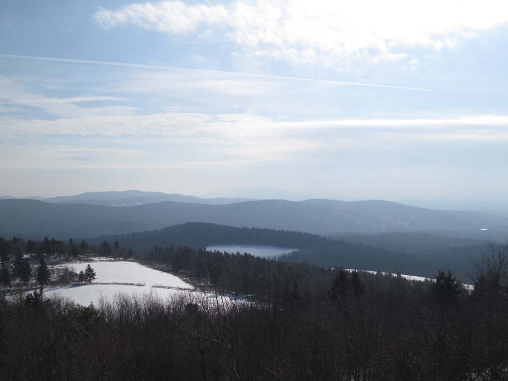
Pitcher Mountain as seen from Jackson Hill

The Pitcher Mountain Trail

Looking south from Pitcher Mountain


Directions to trailhead: From Route 9 in South Stoddard, take Route 123 North. The Pitcher Mountain parking area will be on the right shortly after passing through Stoddard Village.
Back to Hubbard Hill Profile
Back to Jackson Hill Profile
Back to Pitcher Mountain Profile
|