Home
States
Colorado
Connecticut
Maine
Massachusetts
New Hampshire
New York
Rhode Island
Utah
Vermont
View All
Lists
NE 4,000 Footers
NE 100 Highest
NH 4,000 Footers
NH 100 Highest
NH 52 With A View
NH Belknap Range
NH Ossipee 10
Links
Trail Conditions
Trip Log
Sunrises
Sunsets
About
|
Mount Chocorua
Albany, NH
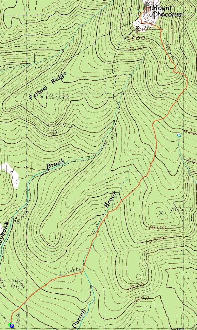
Trailheads, measurements, times, distances, and maps are all approximate and relative to the hike(s) as shown below.
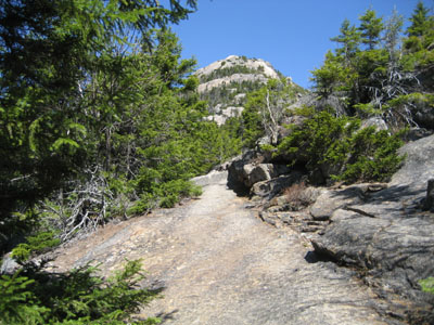
Looking up the Liberty Trail, just before the Jim Liberty Cabin
Route: Liberty Trail
After spending just about a week mostly off my feet, I decided to test out my knee.
Originally, this weekend was scheduled for Katahdin, and then more recently, Old Speck. With the knee injury, driving isn't really too comfortable, so I decided to do something close to home without an extreme amount of challenge (the beginning of this hike is easy, with the only somewhat difficult part being the last ascent up the rocks on the west side of Mount Chocorua).
Wearing a brace and having recently taken some Aleve, I felt decent at the trailhead. Not too long after, on the first descent, I started feeling the discomfort that I've grown accustomed to. This went away, however, once the actual ascent started...in fact, most of the climb was pain free.
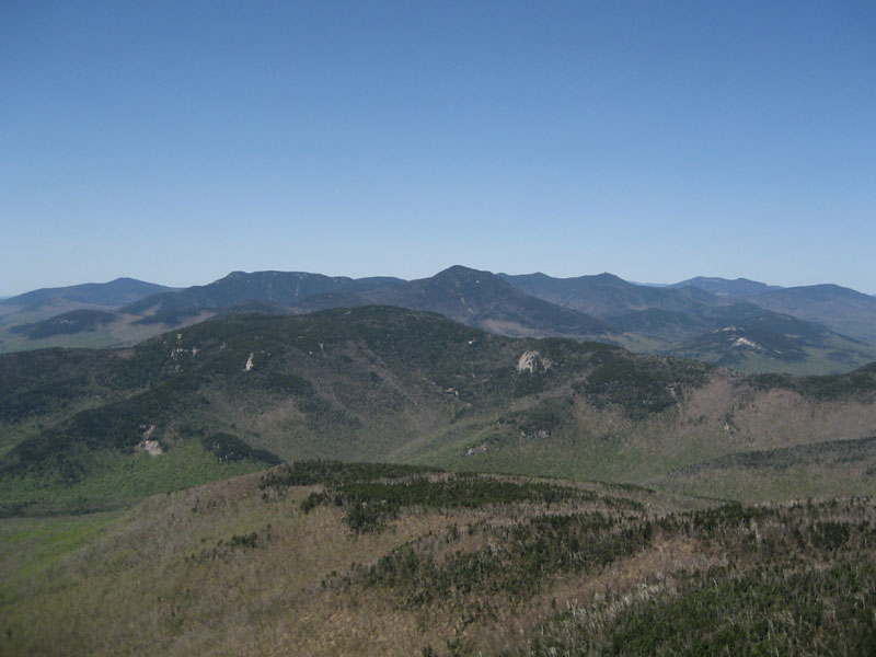
While there was a large crowd gathering at the Paugus Mill Road parking lot, there were only two people on the summit when I arrived. The views, though a bit hazy, were still rather good - south past Moose Mountain, west to Cardigan, east beyond Pleasant Mountain, and north beyond Mt. Washington. The temperatures during the hike were perfect - lower 60s, clear blue sky. On the summit, the temperature was probably in the lower to mid 50s with a consistent breeze.
On the descent, I passed quite a few people, making me glad I summitted as relatively early as I did. My knee, however, was increasingly unhappy with me doing this hike at all. As things steepened on the descent, the discomfort turned to pain. By the end of it all, my limp was worse than ever.
All in all, I'm glad I did get out, as the weather was just about perfect. Though there were a few patches of mud/running water/ice/snow, most of the trail was in good shape. Crowds, at least for the first half of the hike, were minimal. The trail itself, starting at the junction at the top of the ridge, was very scenic. Nonetheless, I'll be off my feet for awhile longer, hopefully letting this knee injury recover.
| Hike Ratings |
|
Getting To Trailhead: |
Easy |
| Destination: |
Mount Chocorua |
|
Length: |
Moderate |
|
Steepness: |
Difficult |
|
Navigation: |
Easy |
|
Views: |
Excellent |
|
Crowds: |
Moderate |
|
| Hike Stats |
|
Date Hiked: |
Sunday, May 13, 2007 |
| Hike Commenced: |
9:32 AM |
| Parking Elevation: |
900' |
| Destination: |
Mount Chocorua |
| Ascent Commenced: |
9:33 AM |
| Summit Reached: |
11:13 AM |
| Time Elapsed: |
01:40 |
| Trailhead Elevation: |
900' |
| Summit Elevation: |
3,474' |
| Distance: |
3.9 miles |
| Vertical Gain: |
2,714' |
|
|
| Hike Ended: |
1:51 PM |
| Hike Time Elapsed: |
04:19 |
| Hike Distance: |
7.8 miles |
| Hike Vertical Gain: |
2,899' |
|
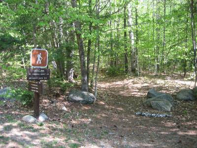
Libery Trail trailhead at the Paugus Mill Road trailhead
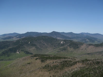
Looking west from the Mount Chocorua summit, over Mt. Paugus at Mt. Whiteface and Mt. Passaconaway
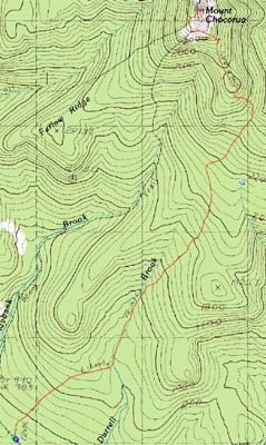

Directions to trailhead: From Route 25, take Route 113 East to Tamworth. At the four way intersection next to the village, go straight onto 113A. Continue a few minutes, taking a right onto Fowler's Mill Road. A few minutes later, take a left onto Paugus Road. The WMNF fee parking area is at the end of this road.
Back to Mount Chocorua Profile
|