Home
States
Colorado
Connecticut
Maine
Massachusetts
New Hampshire
New York
Rhode Island
Utah
Vermont
View All
Lists
NE 4,000 Footers
NE 100 Highest
NH 4,000 Footers
NH 100 Highest
NH 52 With A View
NH Belknap Range
NH Ossipee 10
Links
Trail Conditions
Trip Log
Sunrises
Sunsets
About
|
Mt. Cabot
Lancaster, NH, Kilkenny, NH
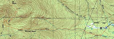
Trailheads, measurements, times, distances, and maps are all approximate and relative to the hike(s) as shown below.
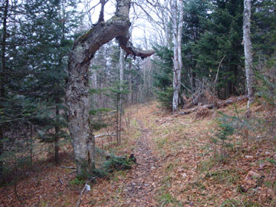
Looking up the Kilkenny Ridge Trail
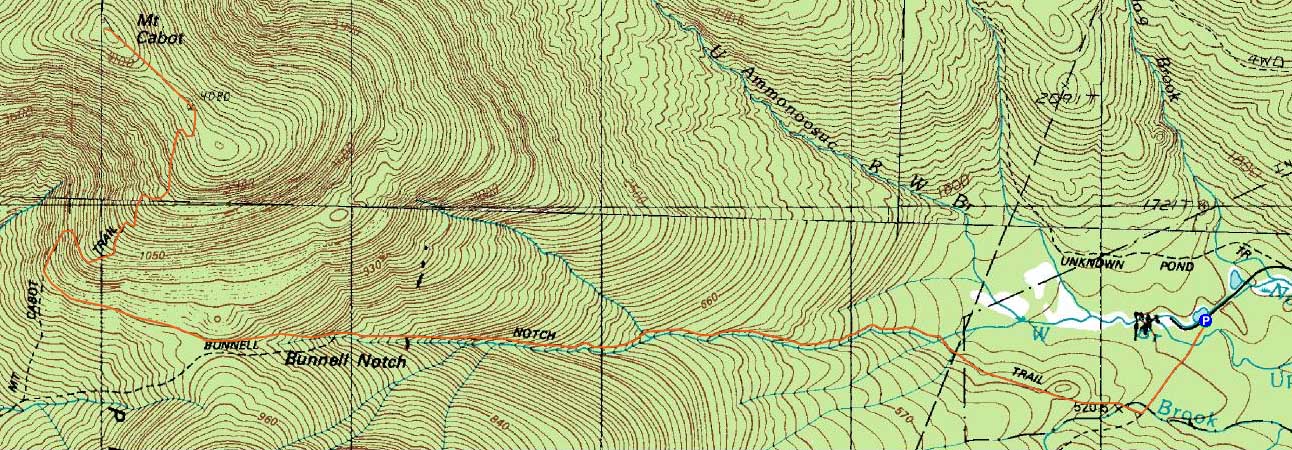
Route: York Pond Trail, Bunnell Notch Trail, Kilkenny Ridge Trail, (Mt. Cabot), Kilkenny Ridge Trail, Bunnell Notch Trail, York Pond Trail
With Hurricane Ida passing through, it looked to be a wet day. With a slight opening in the morning, I decided to head north and try to get a quick 4,000 foot hike in.
It was sprinkling lightly as I worked my way through the York Pond and Bunnell Notch woods road walks. Reaching the woods, the precipitation had let up. Though the ground was frozen in places, there wasn't any ice or snow to contend with on the trail. Having only been on the Bunnell Notch Trail once before, I forgot about all of the ups and downs - yuck.
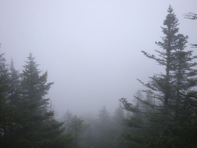
Reaching the summit area, I had zero views - normally I'd be a bit let down, but I was just glad that it wasn't raining.
The rain resumed as I reached the Bunnell Notch Trail again. It fortunately never picked up much as I walked back out - good timing!
| Hike Ratings |
|
Getting To Trailhead: |
Easy |
| Destination: |
Mt. Cabot |
|
Length: |
Moderate |
|
Steepness: |
Moderate |
|
Navigation: |
Easy |
|
Views: |
Minimal (due to weather) |
|
Crowds: |
Heavy |
|
| Hike Stats |
|
Date Hiked: |
Saturday, November 14, 2009 |
| Hike Commenced: |
7:46 AM |
| Parking Elevation: |
1,670' |
| Destination: |
Mt. Cabot |
| Ascent Commenced: |
7:46 AM |
| Summit Reached: |
9:49 AM |
| Time Elapsed: |
02:03 |
| Trailhead Elevation: |
1,670' |
| Summit Elevation: |
4,170' |
| Distance: |
4.8 miles |
| Vertical Gain: |
2,780' |
|
|
| Hike Ended: |
11:48 AM |
| Hike Time Elapsed: |
04:02 |
| Hike Distance: |
9.6 miles |
| Hike Vertical Gain: |
3,060' |
|
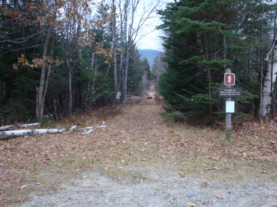
The York Pond Trail trailhead
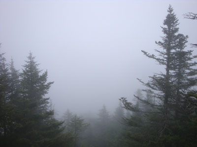
A view of mist from the former fire tower location near the Mt. Cabot summit

Directions to trailhead: Take Route 16 to Berlin, then take Route 110 west. York Pond Road will eventually be on the left. Continue through the Fish Hatchery (do be aware that the gates are only open during the day, usually 8 AM - 4 PM). The York Pond Trail trailhead and small parking area will eventually be on the left, shortly after passing the Unknown Pond Trail parking area on the right.
Back to Mt. Cabot Profile
|