Home
States
Colorado
Connecticut
Maine
Massachusetts
New Hampshire
New York
Rhode Island
Utah
Vermont
View All
Lists
NE 4,000 Footers
NE 100 Highest
NH 4,000 Footers
NH 100 Highest
NH 52 With A View
NH Belknap Range
NH Ossipee 10
Links
Trail Conditions
Trip Log
Sunrises
Sunsets
About
|
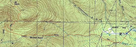
Mt. Cabot
Berlin, NH, Kilkenny, NH
Trailheads, measurements, times, distances, and maps are all approximate and relative to the hike(s) as shown below.
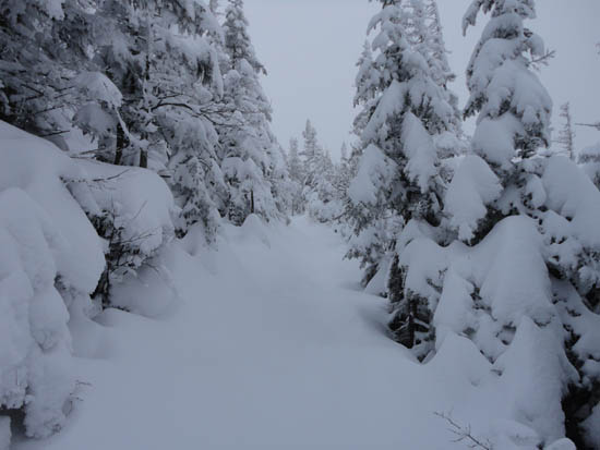
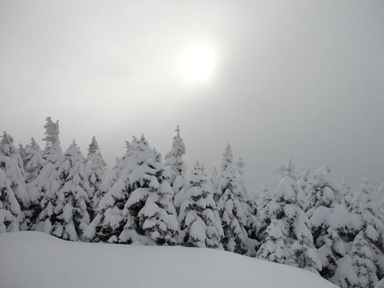
Looking up the Kilkenny Ridge Trail
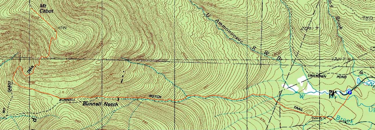
Route: York Pond Trail, Bunnell Notch Trail, Kilkenny Ridge Trail, (Mt. Cabot), Kilkenny Ridge Trail, Bunnell Notch Trail, York Pond Trail
With relatively mild temperatures and little chance of views, I headed north to Mt. Cabot.
Starting on the York Pond Trail, I had light trail breaking with 2-3" of powder on top of older tracks. As I made my way up the Bunnell Notch Trail, some sections had drifted to closer to half a foot.
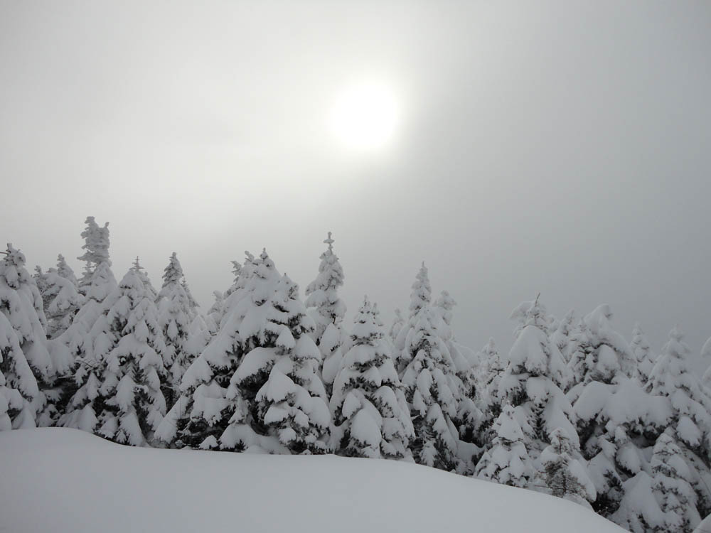
Eventually passing the Cabot Cabin on the Kilkenny Ridge Trail, snow depths continued to increase and old tracks were obliterated in places due to the wind. While overall base depth was a little less than a foot at the trailhead, the snow was two to three feet deep in the summit area.
While I normally head to a blowdown patch viewpoint near the summit, the peak was in the clouds, so I instead headed back down via the same route.
| Hike Ratings |
|
Getting To Trailhead: |
Easy |
| Destination: |
Mt. Cabot |
|
Length: |
Moderate |
|
Steepness: |
Moderate |
|
Navigation: |
Moderate |
|
Views: |
Minimal (due to weather) |
|
Crowds: |
Minimal |
|
| Hike Stats |
|
Date Hiked: |
Thursday, December 23, 2010 |
| Hike Commenced: |
9:23 AM |
| Parking Elevation: |
1,670' |
| Destination: |
Mt. Cabot |
| Ascent Commenced: |
9:23 AM |
| Summit Reached: |
12:24 PM |
| Time Elapsed: |
03:01 |
| Trailhead Elevation: |
1,670' |
| Summit Elevation: |
4,170' |
| Distance: |
4.8 miles |
| Vertical Gain: |
2,780' |
|
|
| Hike Ended: |
2:36 PM |
| Hike Time Elapsed: |
05:13 |
| Hike Distance: |
9.6 miles |
| Hike Vertical Gain: |
3,060' |
|
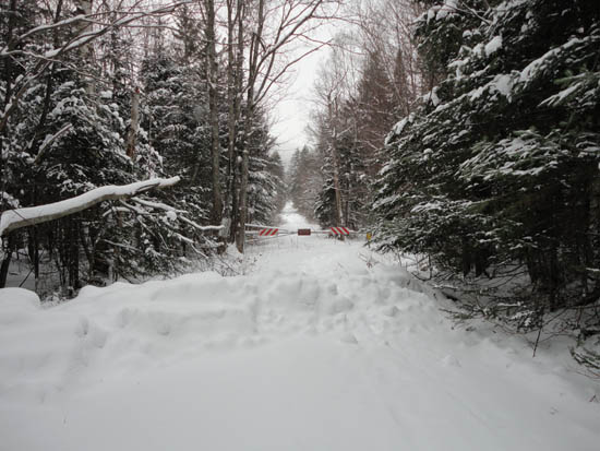
The York Pond Trail trailhead
Socked in at the old fire tower site

Directions to trailhead: Take Route 16 to Berlin, then take Route 110 west. York Pond Road will eventually be on the left. Continue through the Fish Hatchery (do be aware that the gates are only open during the day, usually 8 AM - 4 PM). The York Pond Trail trailhead and small parking area will eventually be on the left, shortly after passing the Unknown Pond Trail parking area on the right.
Back to Mt. Cabot Profile
|