Home
States
Colorado
Connecticut
Maine
Massachusetts
New Hampshire
New York
Rhode Island
Utah
Vermont
View All
Lists
NE 4,000 Footers
NE 100 Highest
NH 4,000 Footers
NH 100 Highest
NH 52 With A View
NH Belknap Range
NH Ossipee 10
Links
Trail Conditions
Trip Log
Sunrises
Sunsets
About
|
Mt. Cabot
Lancaster, NH, Kilkenny, NH
Trailheads, measurements, times, distances, and maps are all approximate and relative to the hike(s) as shown below.

Looking up the Bunnell Notch Trail
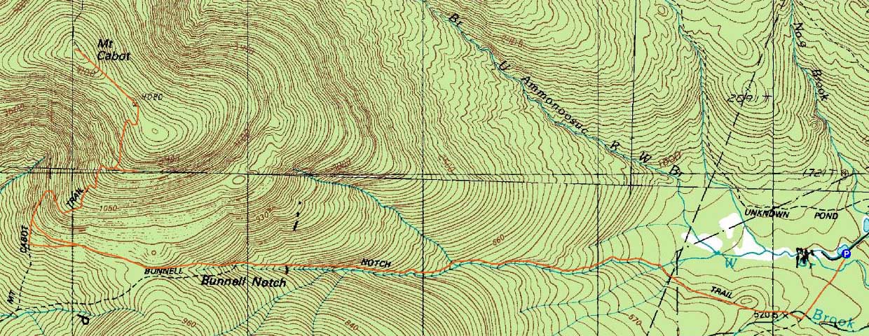
Route: York Pond Trail, Bunnell Notch Trail, Kilkenny Ridge Trail, (Mt. Cabot), Kilkenny Ridge Trail, bushwhack, Kilkenny Ridge Trail, Bunnell Notch Trail, York Pond Trail
With a cold, windy day forecasted (spring?), we headed up to Mt. Cabot. Starting at the York Pond Trail trailhead, the light trailbreaking started immediately, ranging from 2" to 6" higher up. Eventually reaching the cabin, we took an extended snack break, then geared up for the last push in the cold, windy conditions.
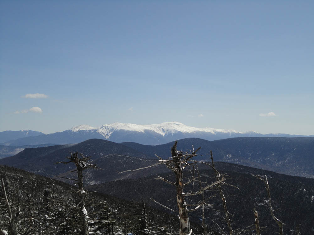
From near the summit, there were superb views of the Presidentials, thanks to the snowpack. After another stop at the cabin, we headed down, taking a brief detour to the scree fields, reaching them after less than 10 minutes of open (thanks to the snowpack) bushwhacking. Due to the location of the fields, we were somehwat of the wind and were treated to excellent views of the Mahoosucs and Presidentials, as well as points west. It was still cold, however, so we didn't linger long.
| Hike Ratings |
|
Getting To Trailhead: |
Easy |
| Destination: |
Mt. Cabot |
|
Length: |
Moderate |
|
Steepness: |
Moderate |
|
Navigation: |
Difficult |
|
Views: |
Excellent |
|
Crowds: |
Minimal |
|
| Hike Stats |
|
Date Hiked: |
Sunday, March 27, 2011 |
| Hike Commenced: |
9:35 AM |
| Parking Elevation: |
1,670' |
| Destination: |
Mt. Cabot |
| Ascent Commenced: |
9:35 AM |
| Summit Reached: |
1:48 PM |
| Time Elapsed: |
04:13 |
| Trailhead Elevation: |
1,670' |
| Summit Elevation: |
4,170' |
| Vertical Gain: |
2,800' |
|
|
| Hike Ended: |
4:33 PM |
| Hike Time Elapsed: |
06:58 |
| Hike Vertical Gain: |
3,100' |
|

The York Pond Trail trailhead

The Presidentials as seen from near the summit of Mt. Cabot

Part of the massive talus field on the side of Mt. Cabot


Directions to trailhead: Take Route 16 to Berlin, then take Route 110 west. York Pond Road will eventually be on the left. Continue through the Fish Hatchery (do be aware that the gates are only open during the day, usually 8 AM - 4 PM). The York Pond Trail trailhead and small parking area will eventually be on the left, shortly after passing the Unknown Pond Trail parking area on the right.
Back to Mt. Cabot Profile
|