Home
States
Colorado
Connecticut
Maine
Massachusetts
New Hampshire
New York
Rhode Island
Utah
Vermont
View All
Lists
NE 4,000 Footers
NE 100 Highest
NH 4,000 Footers
NH 100 Highest
NH 52 With A View
NH Belknap Range
NH Ossipee 10
Links
Trail Conditions
Trip Log
Sunrises
Sunsets
About
|
Mt. Cabot
Shelburne, NH
Trailheads, measurements, times, distances, and maps are all approximate and relative to the hike(s) as shown below.
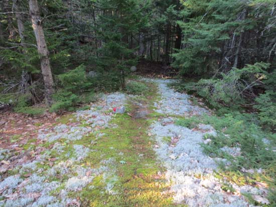
The Red Trail
Route: White Trail, Orange Trail, Blue Trail, Red Trail
Trails were generally dry and in good shape. Was underwhelmed by the view from Crows Nest, however the view toward the Presis from Mt. Cabot was very nice.
Trails were generally on old logging roads. Footing was good enough to allow for continuous jogging.
| Hike Ratings |
|
Getting To Trailhead: |
Moderate |
| Destination: |
Mt. Cabot |
|
Length: |
Moderate |
|
Steepness: |
Difficult |
|
Navigation: |
Moderate |
|
Views: |
Excellent |
|
Crowds: |
Minimal |
|
| Hike Stats |
|
Date Hiked: |
Saturday, September 1, 2012 |
| Parking Elevation: |
700' |
| Destination: |
Mt. Cabot |
| Time Elapsed: |
01:16 |
| Trailhead Elevation: |
700' |
| Summit Elevation: |
1,512' |
| Vertical Gain: |
1,112' |
|
|
| Hike Time Elapsed: |
01:52 |
| Hike Vertical Gain: |
1,162' |
|
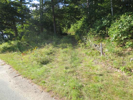
The start of the road to the White Trail
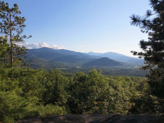
Looking at the Moriahs and Presidentials from Mt. Cabot
Directions to trailhead: Take US 2 East from Gorham, then take a left onto North Road. Continue past Philbrook Farm Inn. Shortly thereafter, there should be room to pull over on the right side of the road (with pipeline marker 74 visible). Just before this on the left is a driveway. The White Trail trailhead is up this driveway on the right, across from a home.
Back to Mt. Cabot Profile
|

