Home
States
Colorado
Connecticut
Maine
Massachusetts
New Hampshire
New York
Rhode Island
Utah
Vermont
View All
Lists
NE 4,000 Footers
NE 100 Highest
NH 4,000 Footers
NH 100 Highest
NH 52 With A View
NH Belknap Range
NH Ossipee 10
Links
Trail Conditions
Trip Log
Sunrises
Sunsets
About
|
Mt. Cardigan
Orange, NH
Trailheads, measurements, times, distances, and maps are all approximate and relative to the hike(s) as shown below.

Looking up the old Jeep Road
Route: Jeep road, West Ridge Trail
Took the old Firewarden's Jeep road (departs adjacent to the bathrooms) to check it out. Still easily followed up to the West Ridge Trail. Appears to cut off about 1/10th of a mile, and avoids the initial up-and-down, but also has a few muddy sections. Drops into the West Ridge Trail just below the first trail junction.
West Ridge Trail had minor patchy black ice initially, but also had some blue ice above and below Cliff's Bridge. I was able to bareboot (and would have barebooted even if I had brought traction), but some may feel more comfortable with traction for these isolated spots. There were also some wet ledges that could set up overnight. In addition, due to the water perking up from these ledgy areas, it's safe to assume there will be ice when temperatures drop after the forecasted rain.
There was also a dusting of snow in a few places near the summit. Otherwise, the trails were generally dry (ground is generally frozen) with a few avoidable mud patches in the usual spots.
Chilly sunset. Winter is approaching.
| Hike Ratings |
|
Getting To Trailhead: |
Easy |
| Destination: |
Mt. Cardigan |
|
Length: |
Moderate |
|
Steepness: |
Moderate |
|
Navigation: |
Easy |
|
Views: |
Excellent |
|
Crowds: |
Minimal |
|
| Hike Stats |
|
Date Hiked: |
Wednesday, November 18, 2015 |
| Parking Elevation: |
1,760' |
| Destination: |
Mt. Cardigan |
| Time Elapsed: |
00:28 |
| Trailhead Elevation: |
1,760' |
| Summit Elevation: |
3,155' |
| Vertical Gain: |
1,395' |
|
|
| Hike Time Elapsed: |
01:14 |
| Hike Vertical Gain: |
1,435' |
|

The start of the Jeep Road

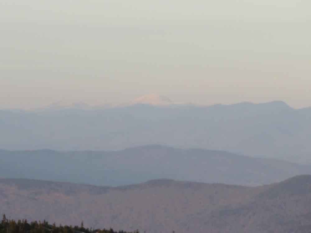
Looking at Mt. Washington from Mt. Cardigan

The sunset from Mt. Cardigan
Directions to trailhead: Take Burnt Hill Road up to the green Cardigan Mtn post next to the access road gate. If access road is closed, park across the road from the gate; otherwise, there is parking at the picnic area. The old Jeep Road starts to the right of the West Ridge Trail.
Back to Mt. Cardigan Profile
|