Home
States
Colorado
Connecticut
Maine
Massachusetts
New Hampshire
New York
Rhode Island
Utah
Vermont
View All
Lists
NE 4,000 Footers
NE 100 Highest
NH 4,000 Footers
NH 100 Highest
NH 52 With A View
NH Belknap Range
NH Ossipee 10
Links
Trail Conditions
Trip Log
Sunrises
Sunsets
About
|
Mt. Carrigain
Livermore, NH
Trailheads, measurements, times, distances, and maps are all approximate and relative to the hike(s) as shown below.
The drifted Signal Ridge Trail
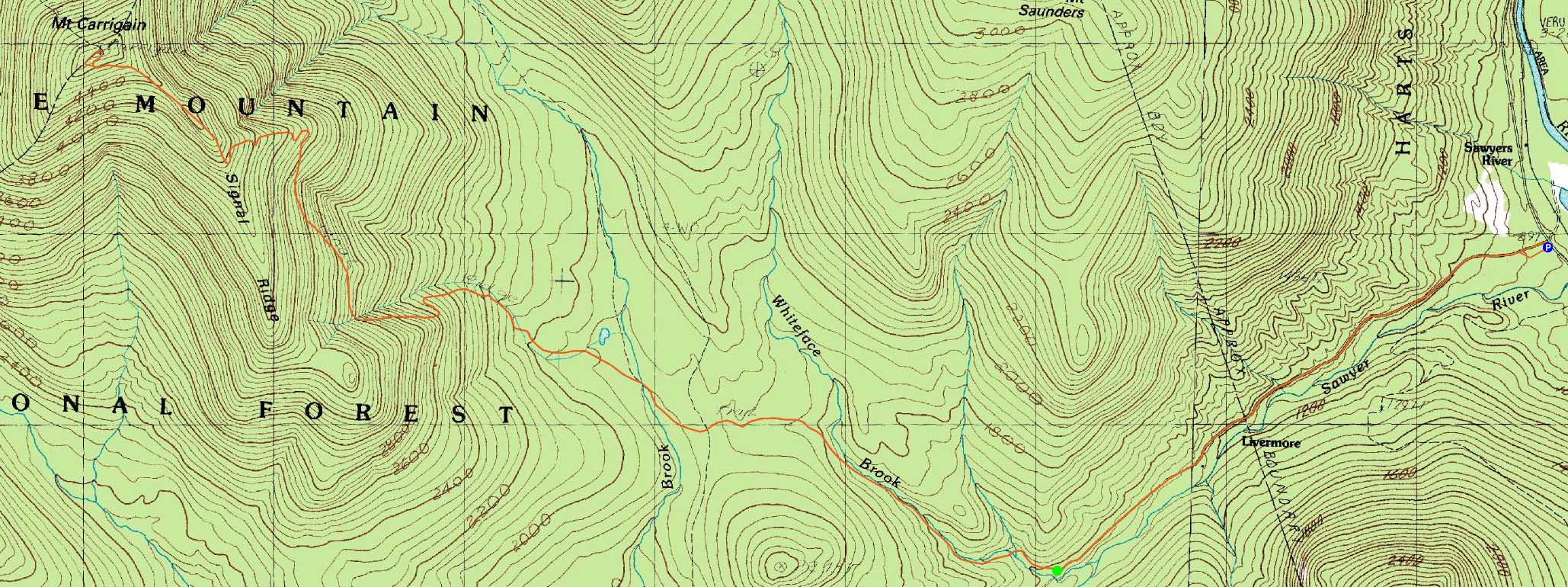
Route: Sawyer River Road, Signal Ridge Trail, bushwhack, (Mt. Carrigain), Signal Ridge Trail, Sawyer River Road, herdpath
A great weather forecast, though increasing winds. The Sawyer River Road walk went a bit slower than I would have hoped, due to balmy temperatures in the 50s. On the lower section of the Signal Ridge Trail, the first water crossing was still snowbridged, however the subsequent ones were open (but crossed on dry rocks).
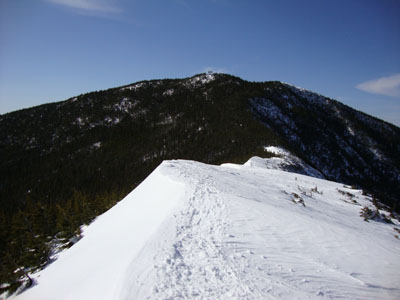
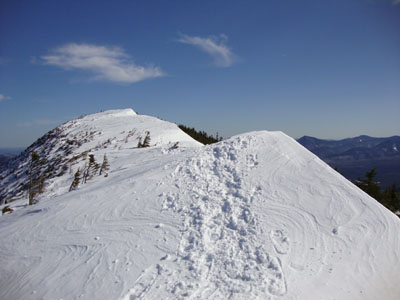
The climb was fairly slow, due to all sorts of branches leaning into the trail. Reaching Signal Ridge proper, the snow drifting was amazing - while there was maybe a foot of snow here in February, the drifts were easily a dozen feet deep, all the way across the ridge.
Beyond the ridge, the route was broken out too far south of the summit, resulting in a somewhat thick bushwhack in a few places. After taking in extremely strong views, I broke out the trail proper.
On the return roadwalk, I opted to hope off and follow a brief old logging road back to the parking lot - not much of a time saver, but a change of scenery.
| Hike Ratings |
|
Getting To Trailhead: |
Difficult |
| Destination: |
Mt. Carrigain |
|
Length: |
Difficult |
|
Steepness: |
Difficult |
|
Navigation: |
Difficult |
|
Views: |
Excellent |
|
Crowds: |
Moderate |
|
| Hike Stats |
|
Date Hiked: |
Wednesday, March 17, 2010 |
| Hike Commenced: |
11:33 AM |
| Parking Elevation: |
900' |
| Destination: |
Mt. Carrigain |
| Ascent Commenced: |
12:10 PM |
| Summit Reached: |
2:53 PM |
| Time Elapsed: |
02:43 |
| Trailhead Elevation: |
1,370' |
| Summit Elevation: |
4,700' |
| Vertical Gain: |
3,440' |
|
|
| Hike Ended: |
5:50 PM |
| Hike Time Elapsed: |
06:23 |
| Hike Vertical Gain: |
4,050' |
|
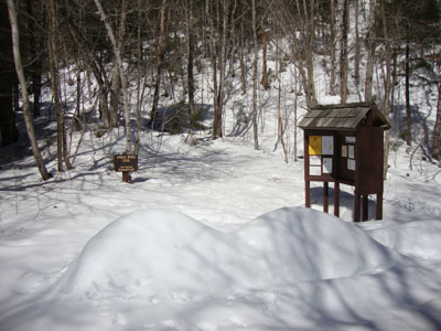
Signal Ridge Trail trailhead on Sawyer River Road
The drifted Signal Ridge Trail
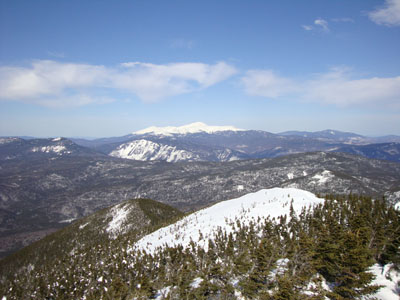
Looking at Mt. Washington from the Mt. Carrigain summit lookout tower
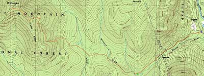

Directions to trailhead: Take Route 302 West from Bartlett to Sawyer River Road. In winter, there is a WMNF fee parking lot located to the left of the closed Sawyer River Road. The Signal Ridge Trail is 2 miles up Sawyer River Road, on the right.
Back to Mt. Carrigain Profile
|