Home
States
Colorado
Connecticut
Maine
Massachusetts
New Hampshire
New York
Rhode Island
Utah
Vermont
View All
Lists
NE 4,000 Footers
NE 100 Highest
NH 4,000 Footers
NH 100 Highest
NH 52 With A View
NH Belknap Range
NH Ossipee 10
Links
Trail Conditions
Trip Log
Sunrises
Sunsets
About
|
Mt. Hale
Bethlehem, NH
Trailheads, measurements, times, distances, and maps are all approximate and relative to the hike(s) as shown below.
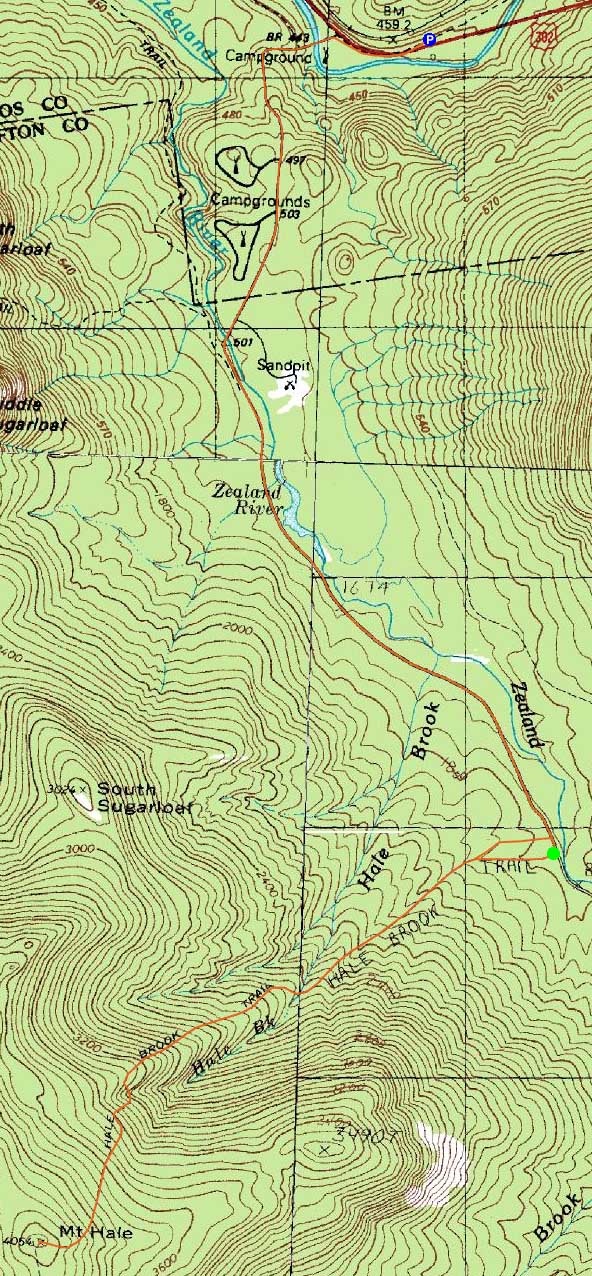
Looking up the sideslope section of the Hale Brook Trail
Route: Snowmobile trail, Zealand Road, Hale Brook Trail, (Mt. Hale), Hale Brook Trail, Zealand Road, snowmobile trail
Like the previous winter, I decided to hike Mt. Hale via Zealand Road in bad weather.
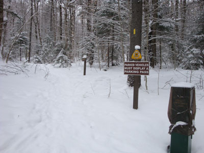
After parking at the Zealand US 302 parking lot, we headed up Zealand Road to the Hale Brook Trail. Though a bit beat up by barebooters, the trail was nonetheless broken out, with a few inches of powder on top. Lightly snowing with some winds, we reached the summit without having any views.
For the descent, we decided to do a light bushwhack and see if we could find a logging road of some sort to cut off part of the roadwalk. We weren't too successful - the clearcuts had slash sticking up, and there were no logging roads going in the direction (downhill) that we wanted. Instead, we ended up popping out on Zealand Road about a hundred feet from the trailhead.
The roadwalk back was interesting, as the storm started to ramp up. Reaching the snowmobile trail, we were a bit surprised to see how many sleds were out and about.
| Hike Ratings |
|
Getting To Trailhead: |
Difficult |
| Destination: |
Mt. Hale |
|
Length: |
Moderate |
|
Steepness: |
Difficult |
|
Navigation: |
Easy |
|
Views: |
Minimal due to weather |
|
Crowds: |
Minimal |
|
| Hike Stats |
|
Date Hiked: |
Saturday, January 2, 2010 |
| Hike Commenced: |
8:02 AM |
| Parking Elevation: |
1,480' |
| Destination: |
Mt. Hale |
| Ascent Commenced: |
9:07 AM |
| Summit Reached: |
10:58 AM |
| Time Elapsed: |
01:51 |
| Trailhead Elevation: |
1,770' |
| Summit Elevation: |
4,054' |
| Distance: |
2.3 miles |
| Vertical Gain: |
2,304' |
|
|
| Hike Ended: |
1:24 PM |
| Hike Time Elapsed: |
05:22 |
| Hike Vertical Gain: |
2,714' |
|
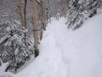
Hale Brook Trail trailhead
The clouds as seen from the summit cairn on Mt. Hale
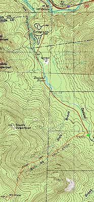

Directions to trailhead: Take US 302 west from Bartlett past Bretton Woods Ski Area. In winter, there is a plowed parking lot on the right, shortly after a bridge, just before the closed Zealand Road entrance appears on the left. In winter, to get to the trailhead from there, one can hike up Zealand Road.
Back to Mt. Hale Profile
|