Home
States
Colorado
Connecticut
Maine
Massachusetts
New Hampshire
New York
Rhode Island
Utah
Vermont
View All
Lists
NE 4,000 Footers
NE 100 Highest
NH 4,000 Footers
NH 100 Highest
NH 52 With A View
NH Belknap Range
NH Ossipee 10
Links
Trail Conditions
Trip Log
Sunrises
Sunsets
About
|
Mt. Hale (South Peak)
Bethlehem, NH
Trailheads, measurements, times, distances, and maps are all approximate and relative to the hike(s) as shown below.
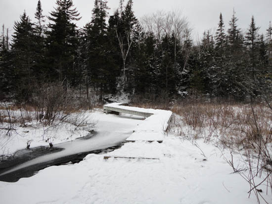
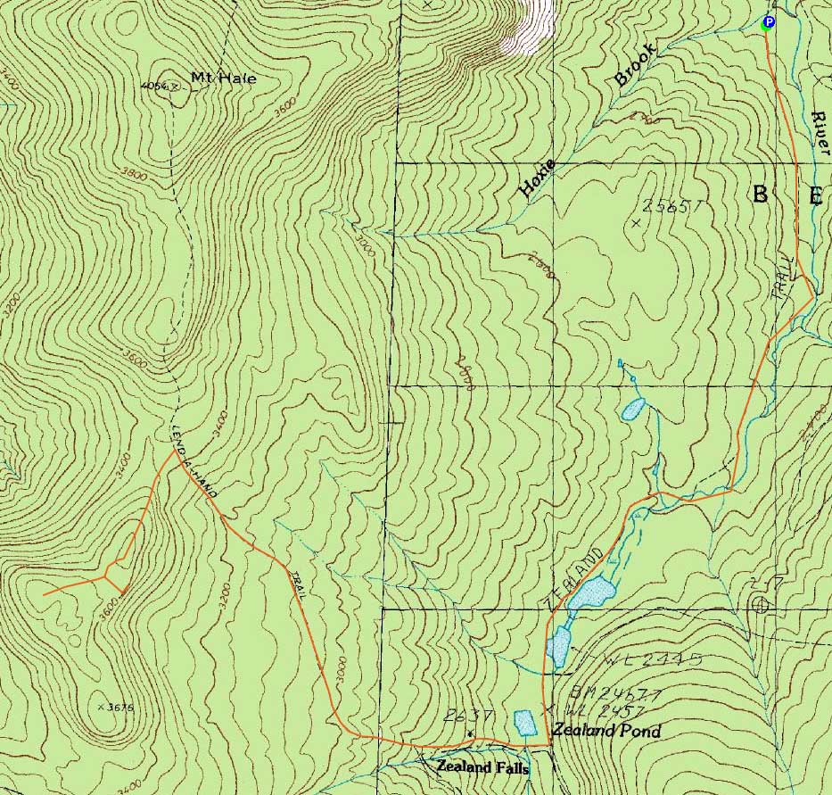
The Zealand Trail
Route: Zealand Trail, Twinway, Lend-A-Hand Trail, bushwhack, (South Hale), bushwhack, Lend-A-Hand Trail, Twinway, Zealand Trail
With Zealand Road still open and a nice weather forecast, I decided to head back up to the Lend-A-Hand Trail and attempt South Hale.
With an inch of snow starting immediately, I put on Microspikes in the parking lot. Once on Lend-A-Hand, I was glad to see the trail was in better shape than a week earlier, as the cold had set in and frozen up the mud puddles.
Reaching the ledgy-scrubby area, I prepared to get covered in snow. Pushing into the woods, I was able to find plenty of open routes along the never-overly-steep climb to the South Hale ridge. Upon reaching a small, ledgy crag, I looked around a bit to figure out where I was. Once concluding I was on the first knob, I headed a bit to the west and worked my way past a swampy area and then to a higher area, where I found the recognized summit.
While there were slight views from around the summit, I decided to look for better ones. Though the weather hadn't turned out nearly as good as forecasted, the cloud level was still high enough to provide some sort of view.
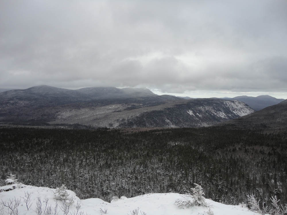
Eventually, roughly in line with the swampy area between the false summit and the true summit, I pushed east and found myself on the large South Hale cliffs, with excellent views of Zealand Notch. In addition, there would likely be a nice Presidential view.
All things considered, I found the woods to be fairly accessible in terms of bushwhacking. The terrain, on the other hand, was a little bit less than straight-forward, due to the presence of false summits.
Once back on trail, I stopped in at the hut, then headed back to the parking lot.
| Hike Ratings |
|
Getting To Trailhead: |
Easy |
| Destination: |
Mt. Hale (South Peak) |
|
Length: |
Moderate |
|
Steepness: |
Difficult |
|
Navigation: |
Difficult |
|
Views: |
Minimal |
|
Crowds: |
Heavy |
|
| Hike Stats |
|
Date Hiked: |
Sunday, November 28, 2010 |
| Hike Commenced: |
9:40 AM |
| Parking Elevation: |
2,000' |
| Destination: |
Mt. Hale (South Peak) |
| Ascent Commenced: |
9:41 AM |
| Summit Reached: |
12:32 PM |
| Time Elapsed: |
02:51 |
| Trailhead Elevation: |
2,000' |
| Summit Elevation: |
2,700' |
| Vertical Gain: |
1,970' |
|
|
| Hike Ended: |
3:41 PM |
| Hike Time Elapsed: |
06:01 |
| Hike Vertical Gain: |
2,040' |
|
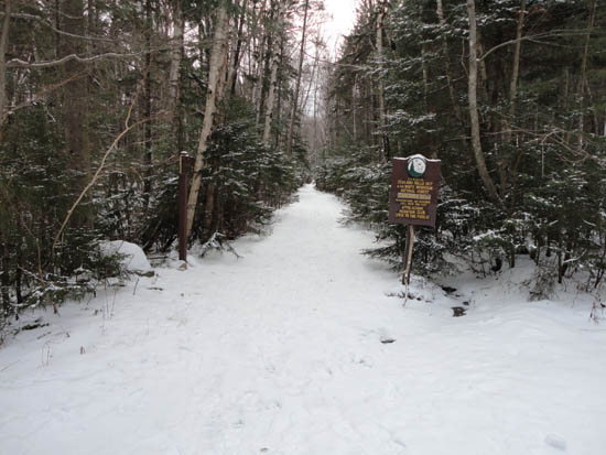
The Zealand Trail trailhead at the end of Zealand Road

Looking at Tom-Field-Willey and Whitewall Mountain from the South Hale cliffs
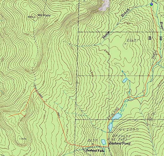

Directions to trailhead: Take US 302 west from Bartlett past Bretton Woods Ski Area. A few minutes after, take a left onto Zealand Road. The Zealand WMNF fee parking area and Zealand Trail trailhead are located at the end of the road.
Back to Mt. Hale (South Peak) Profile
|