Home
States
Colorado
Connecticut
Maine
Massachusetts
New Hampshire
New York
Rhode Island
Utah
Vermont
View All
Lists
NE 4,000 Footers
NE 100 Highest
NH 4,000 Footers
NH 100 Highest
NH 52 With A View
NH Belknap Range
NH Ossipee 10
Links
Trail Conditions
Trip Log
Sunrises
Sunsets
About
|
Mt. Israel
Sandwich, NH
Trailheads, measurements, times, distances, and maps are all approximate and relative to the hike(s) as shown below.
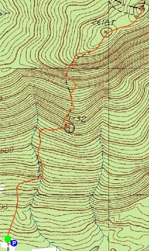
The Wentworth Trail between the peaks
Route: Wentworth Trail
Since I had plans for the afternoon and didn't want to miss out on the first sunny day in a long time, I decided to get up a bit early and do a local hike.
After getting my boots wet with dew from the grass near the trailhead, I set off through the woods, swatting away a small amount of mosquitoes (I lived to tell the tale, without needing to apply any DEET). Though there were a few minor wet areas, the trail was mostly dry and in decent shape.
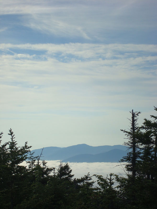
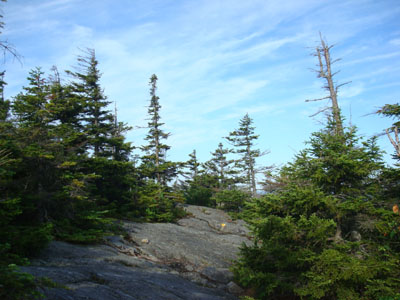
As I neared the false summit, I could tell there might be some undercast going on. Sure enough, as I reached the true summit, I could see the Ossipees and some points to the west were sticking out of the rising morning fog. A gentle breeze kept what few bugs there were at the summit from giving me any problems.
Since I had to be on my way, I didn't stick around for too long. On the way back I sought out the southern viewpoint (and found another one just above it) and was able to see the Ossipees, Belknaps, and Red Hill sticking out of a blanket of fog - pretty neat!
| Hike Ratings |
|
Getting To Trailhead: |
Easy |
| Destination: |
Mt. Israel |
|
Length: |
Moderate |
|
Steepness: |
Moderate |
|
Navigation: |
Easy |
|
Views: |
Excellent |
|
Crowds: |
Minimal |
|
| Hike Stats |
|
Date Hiked: |
Wednesday, July 2, 2008 |
| Hike Commenced: |
6:30 AM |
| Parking Elevation: |
940' |
| Destination: |
Mt. Israel |
| Ascent Commenced: |
6:31 AM |
| Summit Reached: |
7:27 AM |
| Time Elapsed: |
00:56 |
| Trailhead Elevation: |
950' |
| Summit Elevation: |
2,630' |
| Distance: |
2.1 miles |
| Vertical Gain: |
1,780' |
|
|
| Hike Ended: |
8:31 AM |
| Hike Time Elapsed: |
02:01 |
| Hike Distance: |
4.2 miles |
| Hike Vertical Gain: |
1,890' |
|
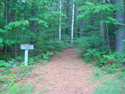
Wentworth Trail trailhead at the Mead Base Camp

The only other hiker I saw all morning
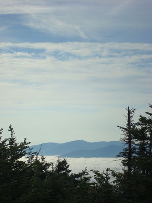
The Ossipees as seen from the Mt. Israel summit

Directions to trailhead: Take Route 109 into Center Sandwich. Route 113 will enter on your right and bear left shortly thereafter. Go straight onto Grove Street instead, bear left onto Diamond Ledge Road. Parking at the Mead Camp.
Back to Mt. Israel Profile
|