Home
States
Colorado
Connecticut
Maine
Massachusetts
New Hampshire
New York
Rhode Island
Utah
Vermont
View All
Lists
NE 4,000 Footers
NE 100 Highest
NH 4,000 Footers
NH 100 Highest
NH 52 With A View
NH Belknap Range
NH Ossipee 10
Links
Trail Conditions
Trip Log
Sunrises
Sunsets
About
|
Mt. Moosilauke
Benton, NH
Trailheads, measurements, times, distances, and maps are all approximate and relative to the hike(s) as shown below.
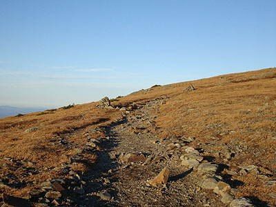
Looking up the Moosilauke Carriage Road on the way to the Mt. Moosilauke summit
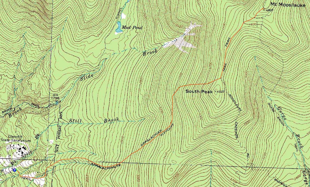
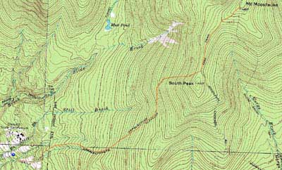
Route: Glencliff Trail, Moosilauke Carriage Road, (Mt. Moosilauke), Moosilauke Carriage Road, Glencliff Trail
Another nice day in the mountains for November standards - sunny skies, mild temperatures, and low winds.
Having previously been acclimated to cooler temperatures, I was dragging a bit as I worked my way up the Glencliff Trail. Trail conditions were quite good - dry with no ice or snow.
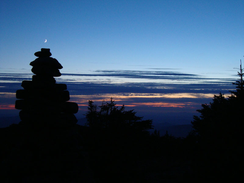
Reaching the summit, the views were a bit hazy as clouds were starting to move in. Nonetheless, the Presidentials were in the clear and easily seen. Due to the incoming clouds, the sunset was lackluster, especially in comparison to some of the great displays I had witnessed in previous days.
We switched on headlamps upon reaching the Glencliff junction and had a nice walk out.
| Hike Ratings |
|
Getting To Trailhead: |
Easy |
| Destination: |
Mt. Moosilauke |
|
Length: |
Moderate |
|
Steepness: |
Difficult |
|
Navigation: |
Easy |
|
Views: |
Excellent |
|
Crowds: |
Moderate |
|
| Hike Stats |
|
Date Hiked: |
Thursday, November 19, 2009 |
| Hike Commenced: |
1:23 PM |
| Parking Elevation: |
1,530' |
| Destination: |
Mt. Moosilauke |
| Ascent Commenced: |
1:23 PM |
| Summit Reached: |
3:31 PM |
| Time Elapsed: |
02:08 |
| Trailhead Elevation: |
1,490' |
| Summit Elevation: |
4,802' |
| Distance: |
3.9 miles |
| Vertical Gain: |
3,317' |
|
|
| Hike Ended: |
6:52 PM |
| Hike Time Elapsed: |
05:29 |
| Hike Vertical Gain: |
3,362' |
|
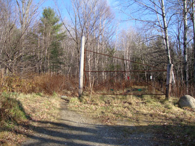
The Glencliff Trail trailhead at the edge of the parking area
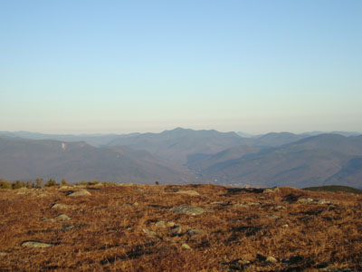
Looking at the Hancocks and Mt. Carrigain from Mt. Moosilauke

Sunset colors as seen from near the summit of Mt. Moosilauke

Directions to trailhead: Take Route 25 West from Plymouth to Glencliff. Take a right onto High Street. The Glencliff Trail parking area will be a few minutes up this road on the right. The trail can be accessed either from the back of the parking lot or a few hundred feet downhill.
Back to Mt. Moosilauke Profile
|