Home
States
Colorado
Connecticut
Maine
Massachusetts
New Hampshire
New York
Rhode Island
Utah
Vermont
View All
Lists
NE 4,000 Footers
NE 100 Highest
NH 4,000 Footers
NH 100 Highest
NH 52 With A View
NH Belknap Range
NH Ossipee 10
Links
Trail Conditions
Trip Log
Sunrises
Sunsets
About
|
Nickerson Mountain, Grant Peak
West Ossipee, NH
Trailheads, measurements, times, distances, and maps are all approximate and relative to the hike(s) as shown below.

Looking down the old gondola lift line
Route: Gondola line, snowmobile trail, bushwhack
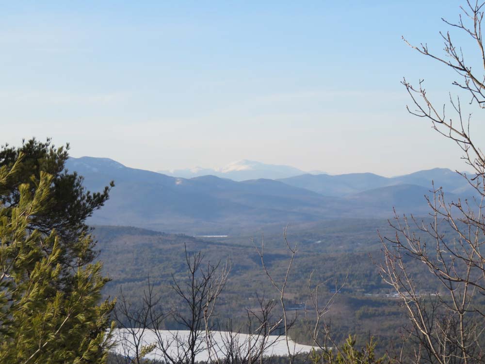
Snowshoed up the old Mt. Whittier gondola lift line, which has seen some skier over the winter. Good snowpack, though there was one large cliff band on the upper steeps that I had to bushwhack around. Flex Alps snowshoes helped with traction, as there were cliff bands in the woods as well. Apart from some blue ice in the cliffy section, snow was generally spring snow or frozen granular that supported snowshoes. Good views north and west on the other side of the communications tower.
I then bushwhacked over to Grant Peak (the tower access road helps one descend toward the col for a little bit...snowmobile packed) in relatively open woods. No views on the wooded summit, but there were some obstructed views through the trees nearby.
Overall, snowpack appeared to be 2 to 3 feet.
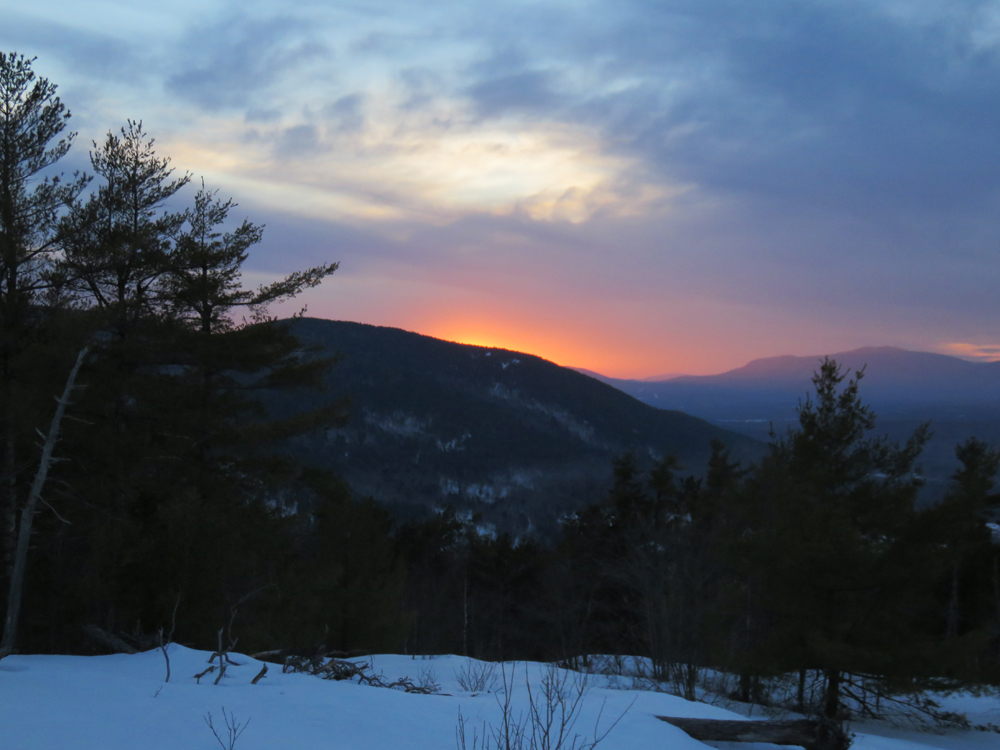
Neat sunset over the shoulder of Mt. Whittier from Nickerson.
| Hike Ratings |
|
Getting To Trailhead: |
Easy |
| Destination: |
Nickerson Mountain |
|
Length: |
Moderate |
|
Steepness: |
Very Difficult |
|
Navigation: |
Easy |
|
Views: |
Excellent |
|
Crowds: |
Minimal |
| Destination: |
Grant Peak |
|
Length: |
Moderate |
|
Steepness: |
Moderate |
|
Navigation: |
Difficult |
|
Views: |
Minimal |
|
Crowds: |
Minimal |
|
| Hike Stats |
|
Date Hiked: |
Thursday, April 2, 2015 |
| Parking Elevation: |
470' |
| Destination: |
Nickerson Mountain |
| Time Elapsed: |
00:52 |
| Trailhead Elevation: |
470' |
| Summit Elevation: |
1,700' |
| Vertical Gain: |
1,230' |
| Destination: |
Grant Peak |
| Time Elapsed: |
00:18 |
| Trailhead Elevation: |
1,700' |
| Summit Elevation: |
1,783' |
| Vertical Gain: |
183' |
|
|
| Hike Time Elapsed: |
02:35 |
| Hike Vertical Gain: |
1,496' |
|

The power line crossing on Norman Drew Road

Looking at Mt. Washington from near the summit of Nickerson Mountain

Heading to Grant Peak

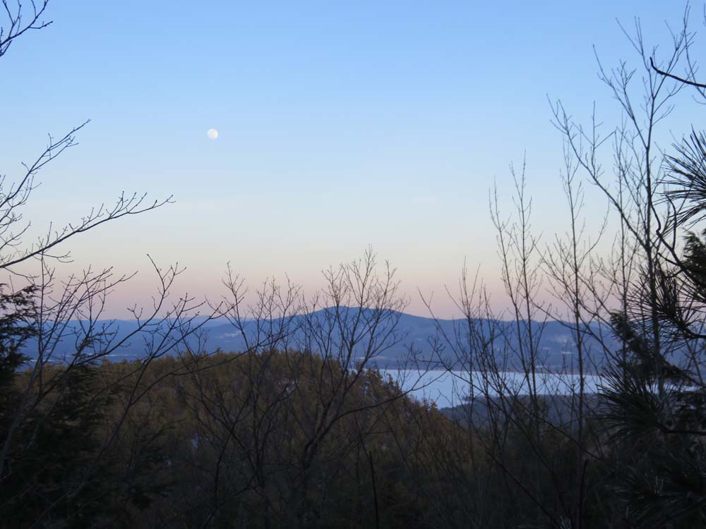
Looking through the trees at Green Mountain from Grant Peak

The sunset from Nickerson Mountain
Back to Nickerson Mountain Profile
Back to Grant Peak Profile
|