Home
States
Colorado
Connecticut
Maine
Massachusetts
New Hampshire
New York
Rhode Island
Utah
Vermont
View All
Lists
NE 4,000 Footers
NE 100 Highest
NH 4,000 Footers
NH 100 Highest
NH 52 With A View
NH Belknap Range
NH Ossipee 10
Links
Trail Conditions
Trip Log
Sunrises
Sunsets
About
|
Owl's Head
Lincoln, NH, Franconia, NH
Trailheads, measurements, times, distances, and maps are all approximate and relative to the hike(s) as shown below.
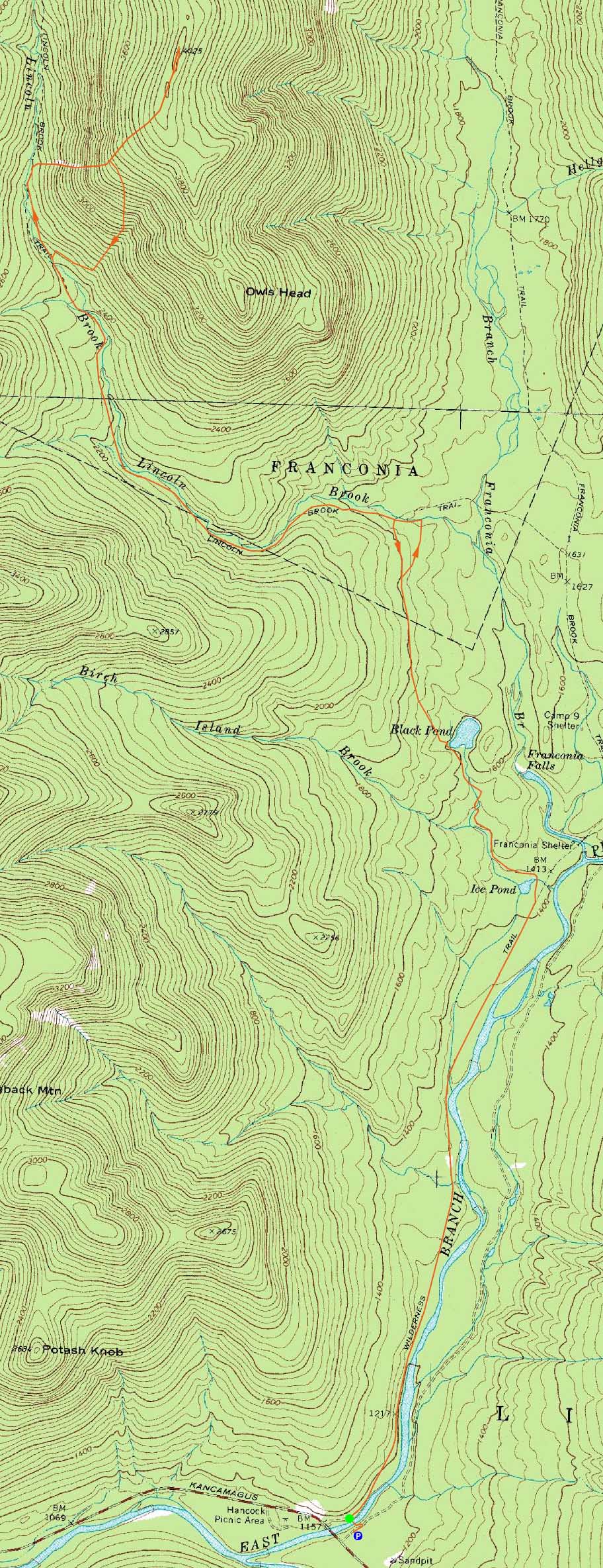
Looking across the Owl's Head slide
Route: Lincoln Woods Trail, Black Pond Trail, bushwhack, Lincoln Brook Trail, Owl's Head Path, (formerly recognized Owl's Head summit), bushwack, (Owl's Head), buswhack, Owl's Head Path, bushwhack, Lincoln Brook Trail, bushwhack, Black Pond Trail, Lincoln Woods Trail
Another visit to dreaded Owl's Head. On the bright side, the wet forecast had improved and there was good foliage.
On the way out on the Black Pond bushwhack, we encountered a lot of muck, due to the recent rain (despite being well above the normal muddy areas adjacent the bootleg path). Reaching a particularly muddy area, we made a downhill beeline to Lincoln Brook, bringing us quite a bit east of our target.
The first two water crossings were somewhat high, but rock hoppable. The third and final crossing, however, was too high to do in a dry fashion. After searching up the shore of the brook for awhile, we ended up moving some rocks around, as to assist with a somewhat dry crossing. Though successful, it took up quite a bit of time.
The slide ascent was quite scenic with the just-past-peak foliage. Nearing the top, we decided to stop and have lunch with views.
Near the 'new' summit, we had slight views of Mt. Lowell, thanks to the dropping leaves.
For the descent, we opted for the 'Brutus Bushwhack' - cutting through a softwood forest to the beautiful birch glade. Things were rather wet due to the recent rain, however, making for slow and tricky going.
After the long railgrade walk back to the Black Pond bushwhack entrance, we took a better line and soon arrived back at the pond for some nice reflective scenery.
As always, the walk out on the Lincoln Woods Trail seemed to take forever.
| Hike Ratings |
|
Getting To Trailhead: |
Easy |
| Destination: |
Owl's Head |
|
Length: |
Very Difficult |
|
Steepness: |
Very Difficult |
|
Navigation: |
Difficult |
|
Views: |
Minimal |
|
Crowds: |
Minimal |
|
| Hike Stats |
|
Date Hiked: |
Sunday, October 4, 2009 |
| Hike Commenced: |
7:23 AM |
| Parking Elevation: |
1,170' |
| Destination: |
Owl's Head |
| Ascent Commenced: |
7:25 AM |
| Summit Reached: |
12:51 PM |
| Time Elapsed: |
05:26 |
| Trailhead Elevation: |
1,170' |
| Summit Elevation: |
4,025' |
| Vertical Gain: |
3,075' |
|
|
| Hike Ended: |
5:27 PM |
| Hike Time Elapsed: |
10:14 |
| Hike Vertical Gain: |
3,380' |
|
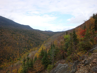
The Lincoln Woods Trail trailhead
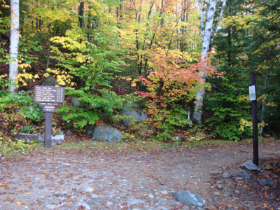
An old logging road in the birch glade, south of the slide
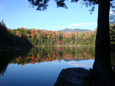
Black Pond in the afternoon
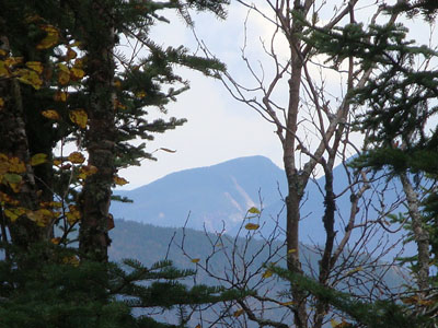
Looking at Mt. Lowell near the summit of Owl's Head

Directions to trailhead: Take Route 112 East from I-93 past Loon to the Lincoln Woods WMNF fee parking area (left side of road).
Back to Owl's Head Profile
|