Home
States
Colorado
Connecticut
Maine
Massachusetts
New Hampshire
New York
Rhode Island
Utah
Vermont
View All
Lists
NE 4,000 Footers
NE 100 Highest
NH 4,000 Footers
NH 100 Highest
NH 52 With A View
NH Belknap Range
NH Ossipee 10
Links
Trail Conditions
Trip Log
Sunrises
Sunsets
About
|
Owl's Head
Lincoln, NH, Franconia, NH
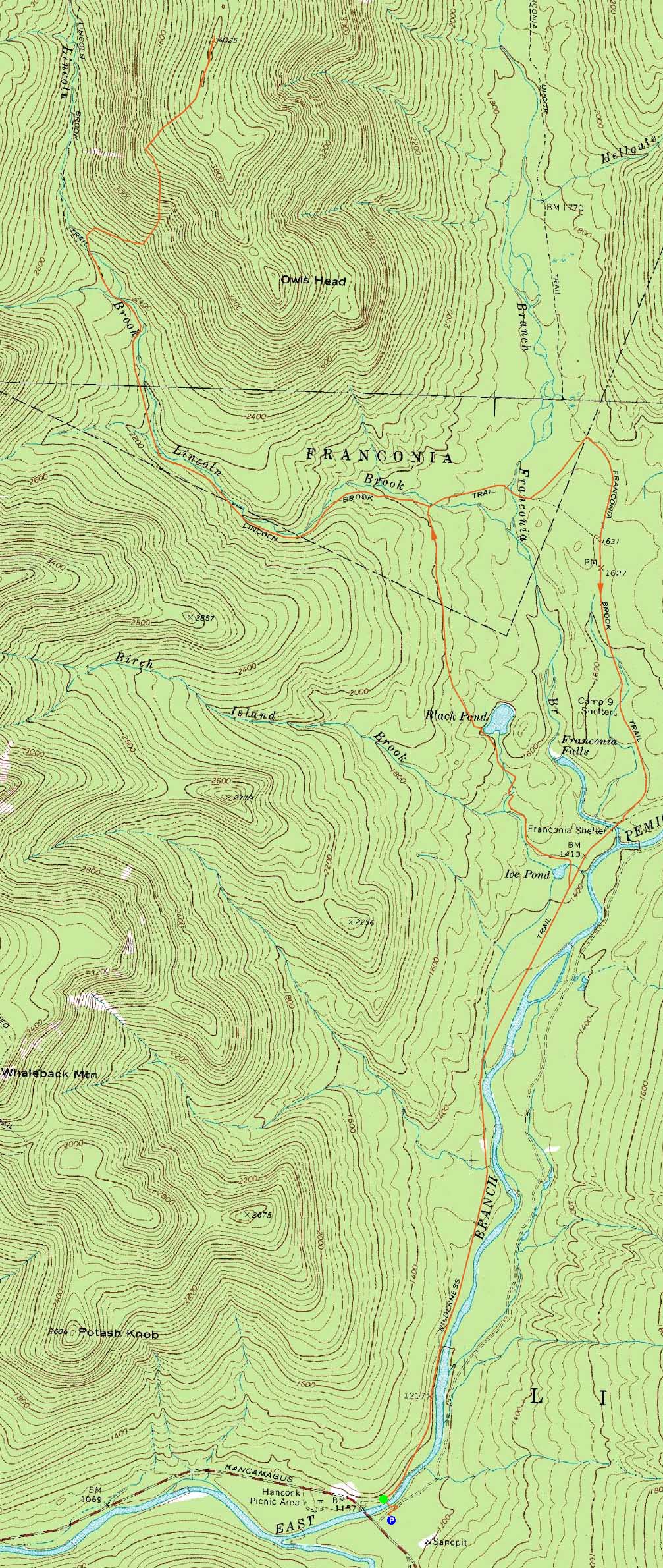
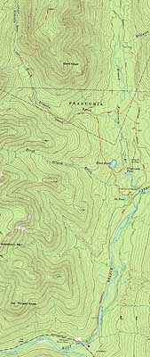
Trailheads, measurements, times, distances, and maps are all approximate and relative to the hike(s) as shown below.
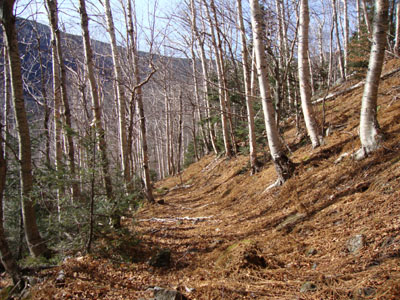
Looking down the logging road in the lower portion of the bushwhack
Route: Lincoln Woods Trail, Black Pond Trail, bushwhack, Lincoln Brook Trail, bushwhack, Owl's Head Path, (formerly recognized Owl's Head summit), bushwack, (Owl's Head), buswhack, Owl's Head Path, bushwhack, Lincoln Brook Trail, Franconia Brook Trail, Wilderness Trail, Lincoln Woods Trail
Taking a day off to hike Owl's Head. Perhaps I hit my head.
For the ascent, we bushwhacked from Black Pond to the Lincoln Brook Trail. Initially starting too low and running into the highest portion of the bootleg trail, we climbed a bit and soon reached a nice contour, eventually linking up with an old logging road and hitting the Lincoln Brook Trail at the second (of five) water crossing. All three crossings (three, four, five) were rock hoppable with relative ease, thanks to low water. Rather than taking the slide, we bushwhacked up through the 'Brutus Bushwhack' area - having never ascended that way before, I didn't pick a great route to the drainage. Once there, we continued up the steep terrain through the birchglade, eventually turning left into the softwoods. I ended up hanging the contour a bit too soon and hit a rocky area, which provided some nice views. After gaining some more elevation, we returned to the desired contour and hit the Owl's head path about 500 vertical feet below the top of the ridge.
Dropping our packs, we worked our way to the old and new summits and then back, where we had a leisurely lunch.
We picked a smoother descent through the bushwhack, hitting the old logging road around 2,700 or so feet, and taking that out to a hundred or two vertical feet above the Lincoln Brook Trail.
With low water and two of the three of us unfamiliar with the traditional trail approach, we opted to skip the Black Pond bushwhack and instead follow the Lincoln Brook Trail. The second (ie the one where the Black Pond bushwhack hits the Lincoln Brook Trail) crossing was still quite tricky, and required getting boots a little bit wet. After a flat railgrade walk, we soon reached the first and largest crossing, which required wet boots.
After reaching the Franconia Brook Trail, we worked our way to the Wilderness Trail, with two relatively easy water crossings, as well as some muddy sections. The Wilderness Trail and Lincoln Woods Trails proved to be a bit less monotonous at the end of the hike, as we opted to leave our headlamps in our packs and instead walk in the dark (no moonlight).
| Hike Ratings |
|
Getting To Trailhead: |
Easy |
| Destination: |
Owl's Head |
|
Length: |
Very Difficult |
|
Steepness: |
Difficult |
|
Navigation: |
Difficult |
|
Views: |
Minimal |
|
Crowds: |
Minimal |
|
| Hike Stats |
|
Date Hiked: |
Wednesday, November 11, 2009 |
| Hike Commenced: |
7:46 AM |
| Parking Elevation: |
1,170' |
| Destination: |
Owl's Head |
| Ascent Commenced: |
7:48 AM |
| Summit Reached: |
12:59 PM |
| Time Elapsed: |
05:11 |
| Trailhead Elevation: |
1,170' |
| Summit Elevation: |
4,025' |
| Vertical Gain: |
3,075' |
|
|
| Hike Ended: |
5:47 PM |
| Hike Time Elapsed: |
10:01 |
| Hike Vertical Gain: |
3,410' |
|
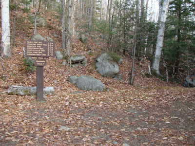
The Lincoln Woods Trail trailhead

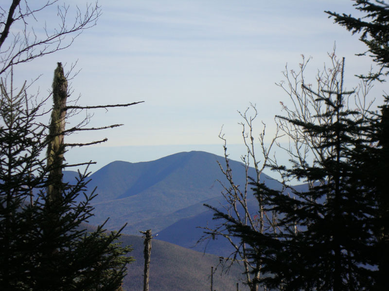
Looking at Mt. Carrigain from near the summit of Owl's Head
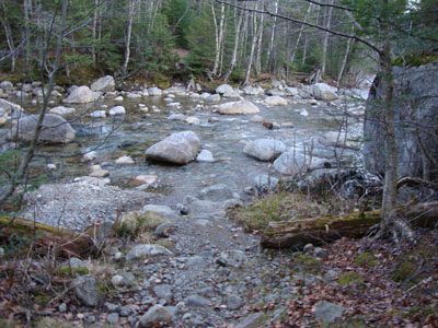
The largest water crossing on the Lincoln Brook Trail - apparently running low!

Directions to trailhead: Take Route 112 East from I-93 past Loon to the Lincoln Woods WMNF fee parking area (left side of road).
Back to Owl's Head Profile
|