Home
States
Colorado
Connecticut
Maine
Massachusetts
New Hampshire
New York
Rhode Island
Utah
Vermont
View All
Lists
NE 4,000 Footers
NE 100 Highest
NH 4,000 Footers
NH 100 Highest
NH 52 With A View
NH Belknap Range
NH Ossipee 10
Links
Trail Conditions
Trip Log
Sunrises
Sunsets
About
|
Owl's Head
Lincoln, NH, Franconia, NH
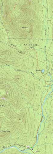
Trailheads, measurements, times, distances, and maps are all approximate and relative to the hike(s) as shown below.
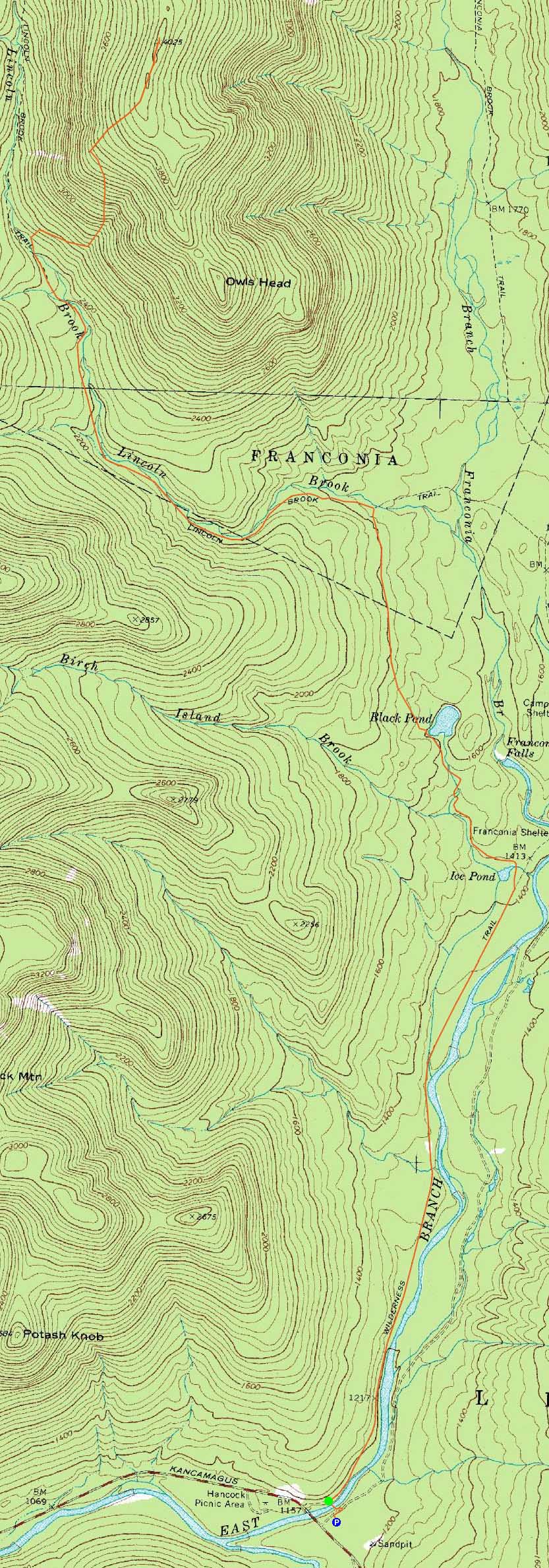
The Lincoln Brook Trail
Route: Lincoln Woods Trail, Black Pond Trail, bushwhack, Lincoln Brook Trail, bushwhack, Owl's Head Path, (formerly recognized Owl's Head summit), bushwack, (Owl's Head), buswhack, Owl's Head Path, bushwhack, Lincoln Brook Trail, bushwhack, Black Pond Trail, Lincoln Woods Trail
Light to moderate trailbreaking starting around Black Pond. Deep drifts on the ridge.
| Hike Ratings |
|
Getting To Trailhead: |
Easy |
| Destination: |
Owl's Head |
|
Length: |
Very Difficult |
|
Steepness: |
Difficult |
|
Navigation: |
Difficult |
|
Views: |
Minimal |
|
Crowds: |
Minimal |
|
| Hike Stats |
|
Date Hiked: |
Saturday, February 25, 2012 |
| Parking Elevation: |
1,170' |
| Destination: |
Owl's Head |
| Time Elapsed: |
04:30 |
| Trailhead Elevation: |
1,170' |
| Summit Elevation: |
4,025' |
| Vertical Gain: |
3,055' |
|
|
| Hike Time Elapsed: |
8:04 |
| Hike Vertical Gain: |
3,310' |
|
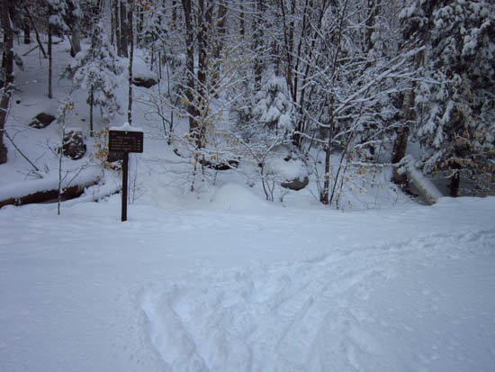
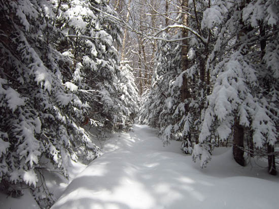
The Lincoln Woods Trail trailhead
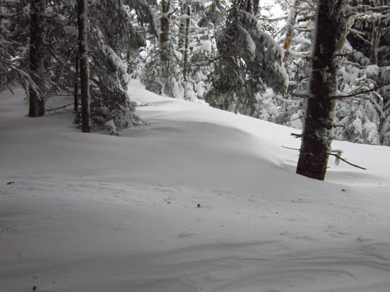
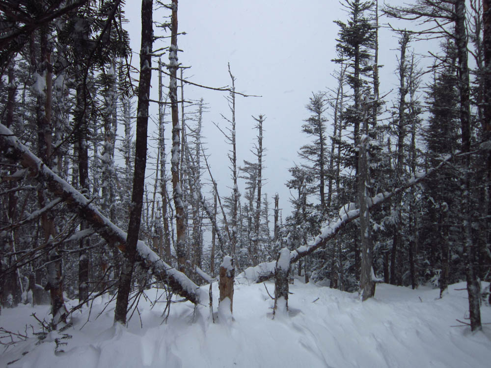
The drifted ridge

A lack of views from near the summit of Owl's Head

Directions to trailhead: Take Route 112 East from I-93 past Loon to the Lincoln Woods WMNF fee parking area (left side of road).
Back to Owl's Head Profile
|