Home
States
Colorado
Connecticut
Maine
Massachusetts
New Hampshire
New York
Rhode Island
Utah
Vermont
View All
Lists
NE 4,000 Footers
NE 100 Highest
NH 4,000 Footers
NH 100 Highest
NH 52 With A View
NH Belknap Range
NH Ossipee 10
Links
Trail Conditions
Trip Log
Sunrises
Sunsets
About
|
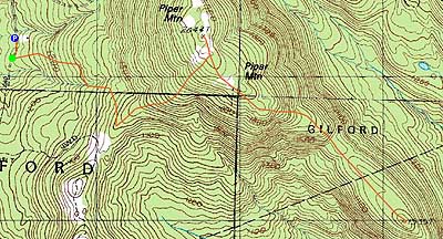
Piper Mountain, Swett Mountain
Gilford, NH, Gilmanton, NH
Trailheads, measurements, times, distances, and maps are all approximate and relative to the hike(s) as shown below.
Looking up the Piper-Whiteface Link
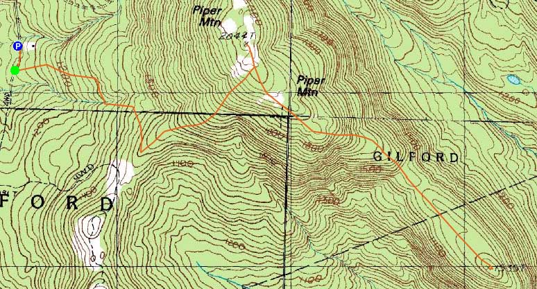
Route: Whiteface Mountain Trail, Piper-Whiteface Link, (Piper Mountain), Piper-Whiteface Link, Vista Trail, Swett Mountain Trail, (Swett Mountain), Swett Mountain Trail, Vista Trail, Piper-Whiteface Link, Whiteface Mountain Trail
Wanting a break from snow, I opted to head south and check out some trails in the Belknaps.
on my way up the Whiteface Trail, I bushwhacked down alongside the creek to a small waterfall, where there was a very neat jewell-ice formation. Back on the trail, I opted to take a left and head up to Piper, along the ledge Piper-Whiteface Link trail. While there was some ice, it was generally pretty good going to the ridge.
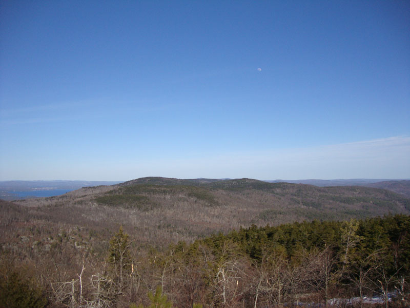
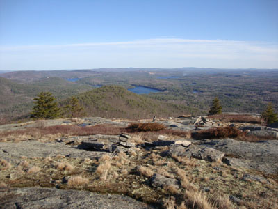
On the ridge, there were still some deep patches of snow. The various viewpoints were quite scenic - Lake Winnipesaukee was a refreshing blue, after having been grey or white all winter due to ice.
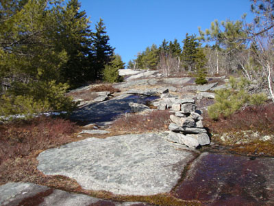
The next stop was Swett Mountain. The Vista Trail leading to it was perhaps the highlight of the hike - stunning ledge views for quite some distance, before dropping into the col on the lesser-used Swett Mountain Trail. Reaching that summit, there were a few directional views, including a slight peak at Mt. Washington in the far distance. While it looked like some southwestern views could also be obtained with very light bushwhacking, I opted to head back, as I could tell the running water on the ledges was starting to change to black ice.
While it was tempting to do a side trip to Whiteface Mountain for the sunset on the return trip, I opted to call it a day and drive most of the way home in the lingering daylight.
| Hike Ratings |
|
Getting To Trailhead: |
Easy |
| Destination: |
Piper Mountain |
|
Length: |
Moderate |
|
Steepness: |
Moderate |
|
Navigation: |
Moderate |
|
Views: |
Excellent |
|
Crowds: |
Minimal |
| Destination: |
Swett Mountain |
|
Length: |
Moderate |
|
Steepness: |
Difficult |
|
Navigation: |
Moderate |
|
Views: |
Excellent |
|
Crowds: |
Minimal |
|
| Hike Stats |
|
Date Hiked: |
Friday, March 26, 2010 |
| Hike Commenced: |
4:04 PM |
| Parking Elevation: |
1,050' |
| Destination: |
Piper Mountain |
| Ascent Commenced: |
4:06 PM |
| Summit Reached: |
4:51 PM |
| Time Elapsed: |
00:45 |
| Trailhead Elevation: |
1,060' |
| Summit Elevation: |
2,044' |
| Vertical Gain: |
1,024' |
| Destination: |
Swett Mountain |
| Ascent Commenced: |
4:51 PM |
| Summit Reached: |
5:33 PM |
| Time Elapsed: |
00:41 |
| Trailhead Elevation: |
2,044' |
| Summit Elevation: |
1,535' |
| Vertical Gain: |
135' |
|
|
| Hike Ended: |
6:45 PM |
| Hike Time Elapsed: |
02:41 |
| Hike Vertical Gain: |
1,954' |
|
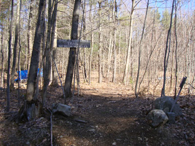
The Piper Mountain Trail trailhead on the Carriage Road
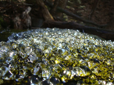
Interesting ice formations near the waterfall below the Whiteface Mountain Trail

Looking at the Round Pond area from Piper Mountain
Looking down the Vista Trail on the way to Swett Mountain
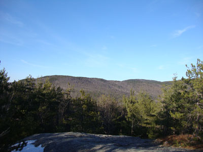
Looking at the Round Pond area from Swett Mountain

Directions to trailhead: From Route 11A East (from Route 3), take a right on Hoyt Road. Continue down this road as it becomes Belknap Mountain Road. At the end of this road, take a left. There will eventually be a turnaround area with a private road sign. Park here, and continue up the road on foot. The Piper Whiteface Trail trailhead will be on the left side of the road.
Back to Piper Mountain Profile
Back to Swett Mountain Profile
|