Home
States
Colorado
Connecticut
Maine
Massachusetts
New Hampshire
New York
Rhode Island
Utah
Vermont
View All
Lists
NE 4,000 Footers
NE 100 Highest
NH 4,000 Footers
NH 100 Highest
NH 52 With A View
NH Belknap Range
NH Ossipee 10
Links
Trail Conditions
Trip Log
Sunrises
Sunsets
About
|
Piper Mountain
Gilford, NH, Gilmanton, NH
Trailheads, measurements, times, distances, and maps are all approximate and relative to the hike(s) as shown below.
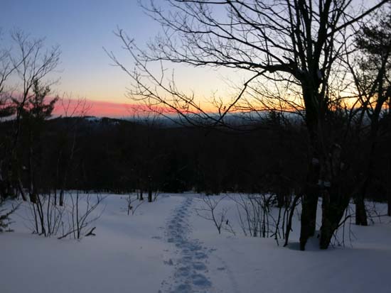
Looking down the Piper-Whiteface Link
Route: Whiteface Mountain Trail, Piper-Whiteface Link
From the stonewall, I broke up to the ridge and to the summit, generally in three to ten inches of new powder (usually around 6-8 inches) with base depths probably around two feet. No sign of any recent traffic from the north. My tracks should set up okay in the sunny ledgy areas.
I also meandered around the southern ledges on the Yellow Trail, which is particularly hard to follow. Looks like a snowmobile was up there recently. Lots of nice ledge views though, even if not on trail.
| Hike Ratings |
|
Getting To Trailhead: |
Easy |
| Destination: |
Piper Mountain |
|
Length: |
Moderate |
|
Steepness: |
Moderate |
|
Navigation: |
Moderate |
|
Views: |
Excellent |
|
Crowds: |
Minimal |
|
| Hike Stats |
|
Date Hiked: |
Tuesday, February 10, 2015 |
| Parking Elevation: |
1,050' |
| Destination: |
Piper Mountain |
| Time Elapsed: |
00:45 |
| Trailhead Elevation: |
1,060' |
| Summit Elevation: |
2,044' |
| Vertical Gain: |
1,024' |
|
|
| Hike Time Elapsed: |
01:49 |
| Hike Vertical Gain: |
1,164' |
|
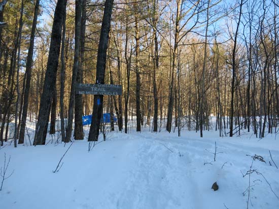
The Whiteface Mountain Trail trailhead

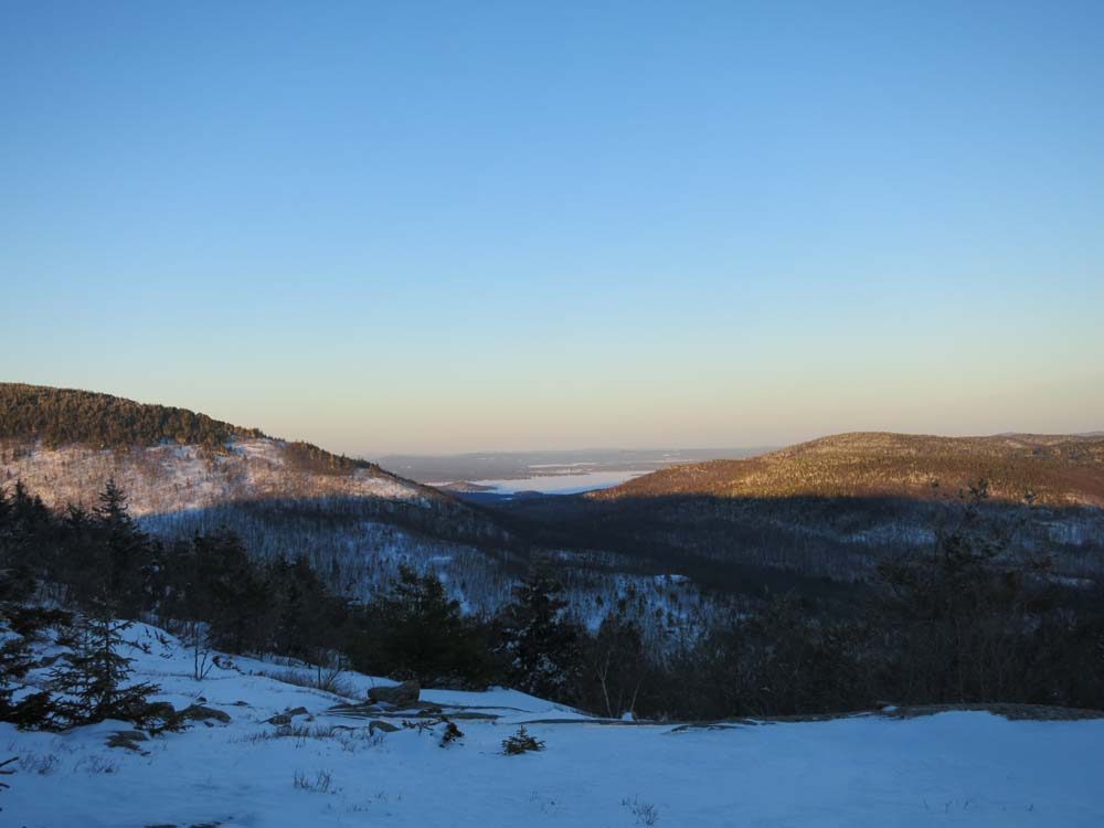
Looking at Lake Winnipesaukee from Piper Mountain
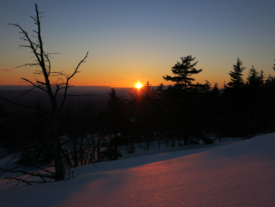
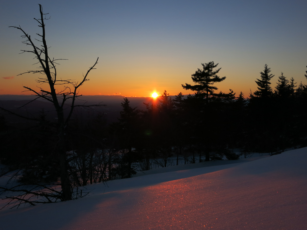
The sunset from ledges near the Piper Mountain summit
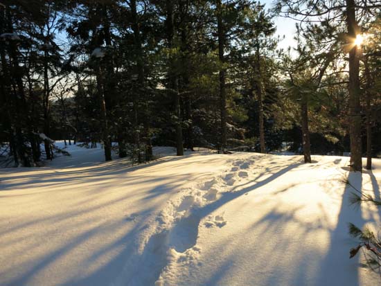
Descending the Piper-Whiteface Link
Directions to trailhead: From Route 11A East (from Route 3), take a right on Hoyt Road. Continue down this road as it becomes Belknap Mountain Road. At the end of this road, take a left. There will eventually be a turnaround area with a private road sign. Park here, and continue up the road on foot. The Piper Whiteface Trail trailhead will be on the left side of the road.
Back to Piper Mountain Profile
|