Home
States
Colorado
Connecticut
Maine
Massachusetts
New Hampshire
New York
Rhode Island
Utah
Vermont
View All
Lists
NE 4,000 Footers
NE 100 Highest
NH 4,000 Footers
NH 100 Highest
NH 52 With A View
NH Belknap Range
NH Ossipee 10
Links
Trail Conditions
Trip Log
Sunrises
Sunsets
About
|
Pliny Mountain
Jefferson, NH
Trailheads, measurements, times, distances, and maps are all approximate and relative to the hike(s) as shown below.
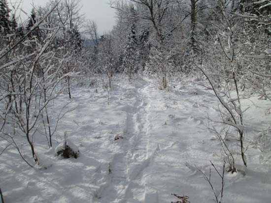
The abandoned Upper Ammonoosuc Trail
Route: Upper Ammonoosuc Trail, bushwhack
Amazing what a few miles can do. We went from 2-3 feet of snow on West Field yesterday to 2-3" of snow on Pliny (subpeak of Waumbek) today.
We followed the abandoned Priscilla Brook Trail (aka Upper Ammonoosuc Trail) to the old turn arrow sign, then sort of stayed in that corridor for awhile. For the ascent, we snowshoed this portion, as there was an inch or so of crusty granular under maybe two inches of powder. Quite a few blowdowns to deal with.
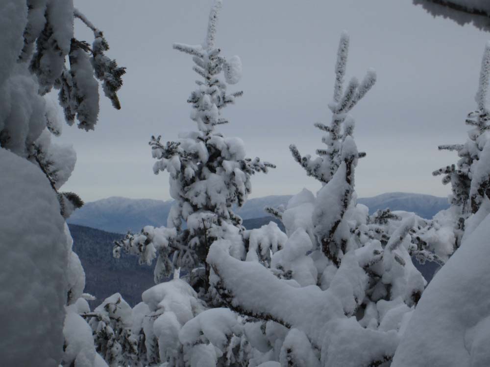
We eventually headed toward the peaks adjacent to the Pliny-Pliny Minor col, angling toward Pliny. The woods had some blowdown down low, but were otherwise fairly open. Maybe 3-4" of snowpack on the recognized summit of Mt. Pliny.
From there, we headed into the col and over to the western subpeak sometimes referred to as Pliny Minor, which was reached via open woods. We had some decent views through the birch trees from the rounded summit.
For the descent, we dropped directly back down to the old trail, which was steep going without much snowpack.
Frankly, until there is more snow, I think this particular route can be done without snowshoes. Some may like having some traction so that they don't spin their wheels too much.
| Hike Ratings |
|
Getting To Trailhead: |
Moderate |
| Destination: |
Pliny Mountain |
|
Length: |
Moderate |
|
Steepness: |
Moderate |
|
Navigation: |
Difficult |
|
Views: |
Minimal |
|
Crowds: |
Minimal |
|
| Hike Stats |
|
Date Hiked: |
Tuesday, December 31, 2013 |
| Parking Elevation: |
1,740' |
| Destination: |
Pliny Mountain |
| Time Elapsed: |
01:56 |
| Trailhead Elevation: |
1,740' |
| Summit Elevation: |
3,605' |
| Vertical Gain: |
1,885' |
|
|
| Hike Time Elapsed: |
03:55 |
| Hike Vertical Gain: |
2,035' |
|
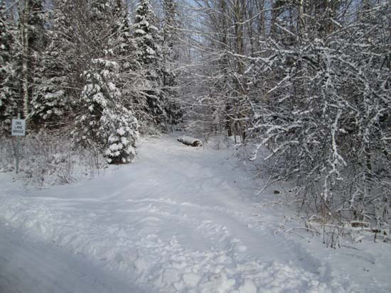
The abandoned Upper Ammonoosuc Trail trailhead of Ingerson Road
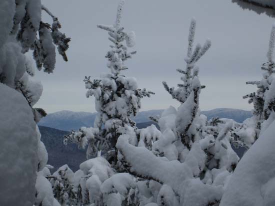
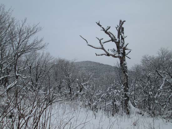
Slight views from Pliny Mountain
Looking back at Pliny from Pliny Minor
Directions to trailhead: From the US 2 - Route 115 junction west of Randolph, take US 2 west, then take a right onto Ingerson Road. Bear left to stay on Ingerson Road at the Pond of Safety Road junction. The old Upper Ammonoosuc Trail trailhead will eventually be on the right, just before a bridge and a left turn in the road. There is limited room to park on the shoulder of the road.
Back to Pliny Mountain Profile
|