Home
States
Colorado
Connecticut
Maine
Massachusetts
New Hampshire
New York
Rhode Island
Utah
Vermont
View All
Lists
NE 4,000 Footers
NE 100 Highest
NH 4,000 Footers
NH 100 Highest
NH 52 With A View
NH Belknap Range
NH Ossipee 10
Links
Trail Conditions
Trip Log
Sunrises
Sunsets
About
|
Red Hill
Moultonborough, NH
Trailheads, measurements, times, distances, and maps are all approximate and relative to the hike(s) as shown below.
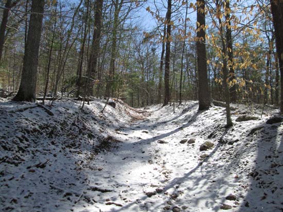
Looking up the Red Hill Trail
Route: Red Hill Trail
About an inch of new snow overnight, but quickly melting as the temperature went above freezing around lunchtime. Ground generally not frozen, so new snow shouldn't be around much longer. A few small patches of snow/monorail/ice underneath (never needed light traction), but otherwise trail should be mostly snow free pretty quickly. Nearby trails may still have decent snowpack in places.
Noted a new (heard about it, but don't remember seeing it) blue blazed trail departing from the east side of the summit (presumably rejoining at the upper kiosk near the old foundation).
Lakes still ice covered, but some water is starting to show.
| Hike Ratings |
|
Getting To Trailhead: |
Easy |
| Destination: |
Red Hill |
|
Length: |
Moderate |
|
Steepness: |
Moderate |
|
Navigation: |
Easy |
|
Views: |
Excellent |
|
Crowds: |
Moderate |
|
| Hike Stats |
|
Date Hiked: |
Wednesday, April 16, 2014 |
| Parking Elevation: |
640' |
| Destination: |
Red Hill |
| Time Elapsed: |
00:33 |
| Trailhead Elevation: |
640' |
| Summit Elevation: |
2,033' |
| Distance: |
1.7 miles |
| Vertical Gain: |
1,398' |
|
|
| Hike Time Elapsed: |
01:06 |
| Hike Distance: |
3.4 miles |
| Hike Vertical Gain: |
1,403' |
|
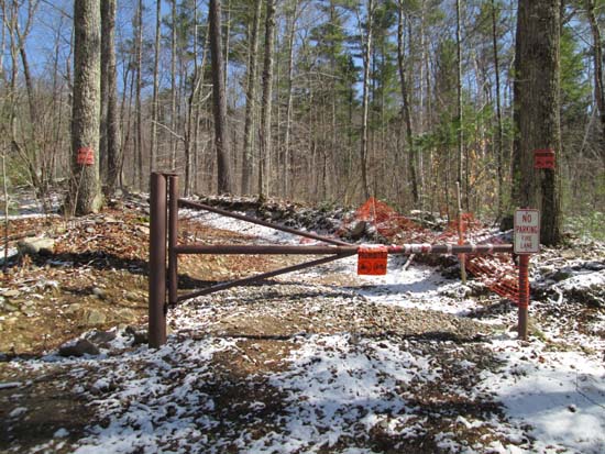
Red Hill Trail trailhead
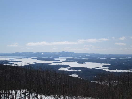
Looking at the Belknaps from near the Red Hill summit
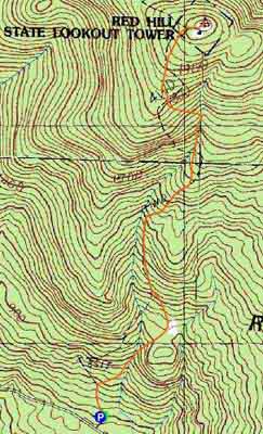

Directions to trailhead: Take Red Hill Road (also signed as Sawmill Road in some places) north from Route 25 near Center Harbor. Parking area and trailhead are on the right shortly after passing Sibley Road on the left.
Back to Red Hill Profile
|

