Home
States
Colorado
Connecticut
Maine
Massachusetts
New Hampshire
New York
Rhode Island
Utah
Vermont
View All
Lists
NE 4,000 Footers
NE 100 Highest
NH 4,000 Footers
NH 100 Highest
NH 52 With A View
NH Belknap Range
NH Ossipee 10
Links
Trail Conditions
Trip Log
Sunrises
Sunsets
About
|
Rogers Ledge
Berlin, NH, Milan, NH, Kilkenny, NH
Trailheads, measurements, times, distances, and maps are all approximate and relative to the hike(s) as shown below.
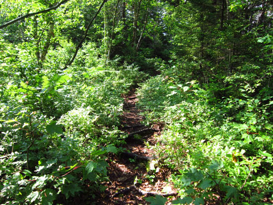
The Mill Brook Trail
Route: Mill Brook Trail, Kilkenny Ridge Trail
Lots of mud and bugs on Mill Brook Trail. Generally gradual grades, except for the steep climb up Rogers Ledge proper. Excellent views from Rogers Ledge.
| Hike Ratings |
|
Getting To Trailhead: |
Easy |
| Destination: |
Rogers Ledge |
|
Length: |
Moderate |
|
Steepness: |
Difficult |
|
Navigation: |
Moderate |
|
Views: |
Excellent |
|
Crowds: |
Minimal |
|
| Hike Stats |
|
Date Hiked: |
Sunday, July 1, 2012 |
| Parking Elevation: |
1,520' |
| Destination: |
Rogers Ledge |
| Time Elapsed: |
02:22 |
| Trailhead Elevation: |
1,520' |
| Summit Elevation: |
2,965' |
| Distance: |
4.2 miles |
| Vertical Gain: |
1,545' |
|
|
| Hike Time Elapsed: |
05:28 |
| Hike Vertical Gain: |
1,645' |
|
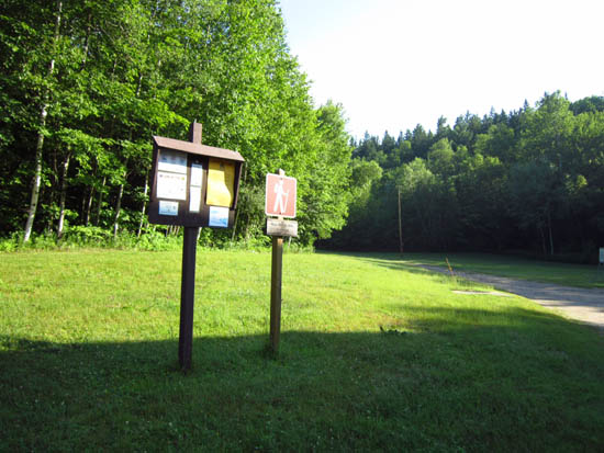
The Mill Brook Trail trailhead
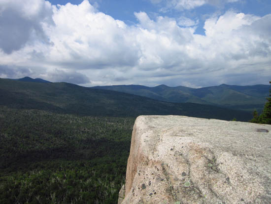
Looking at the Horn, Bulge, and Hutchins Mountain
Directions to trailhead: Take Route 16 to Berlin, then take Route 110 west. York Pond Road will eventually be on the left. Continue through the Fish Hatchery (do be aware that the gates are only open during the day, usually 8 AM - 4 PM). The Mill Brook Trail trailhead will be down a road to the right, just after the gate. The trail starts next to the building, wraps around to the left of a pond, then enters into the woods behind it.
Back to Rogers Ledge Profile
|

