Home
States
Colorado
Connecticut
Maine
Massachusetts
New Hampshire
New York
Rhode Island
Utah
Vermont
View All
Lists
NE 4,000 Footers
NE 100 Highest
NH 4,000 Footers
NH 100 Highest
NH 52 With A View
NH Belknap Range
NH Ossipee 10
Links
Trail Conditions
Trip Log
Sunrises
Sunsets
About
|
Russell Crag
Woodstock, NH
Trailheads, measurements, times, distances, and maps are all approximate and relative to the hike(s) as shown below.

The Russell Crag access road
Route: Access road
A quick jog up the somewhat steep access road up Russell Crag. Nice southern views from the ledges, a short, open bushwhack from the communications tower. Surprisingly mild sunset temperatures considering the time of year.
| Hike Ratings |
|
Getting To Trailhead: |
Easy |
| Destination: |
Russell Crag |
|
Length: |
Moderate |
|
Steepness: |
Moderate |
|
Navigation: |
Easy |
|
Views: |
Excellent |
|
Crowds: |
Minimal |
|
| Hike Stats |
|
Date Hiked: |
Monday, December 12, 2011 |
| Parking Elevation: |
960' |
| Destination: |
Russell Crag |
| Time Elapsed: |
00:13 |
| Trailhead Elevation: |
960' |
| Summit Elevation: |
1,640' |
| Vertical Gain: |
680' |
|
|
| Hike Time Elapsed: |
00:43 |
| Hike Vertical Gain: |
700' |
|

The beginning of the access road at the end of Cox Farm Road

Looking toward Thornton Gap from southern Russell Crag ledges

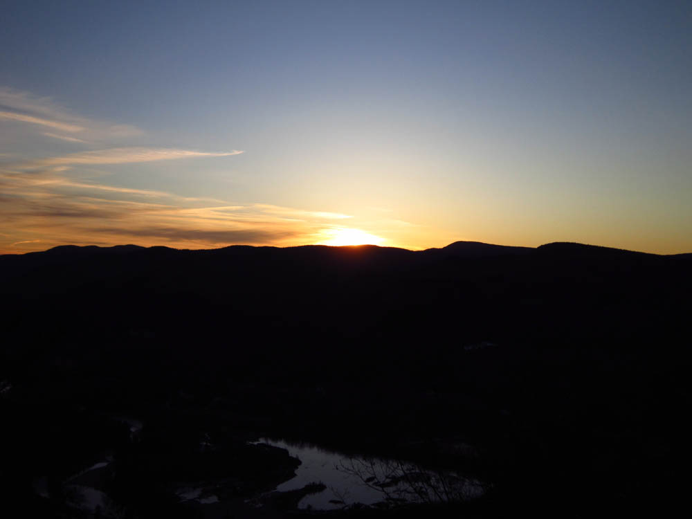
Sunset colors from the southern Russell Crag ledges


Directions to trailhead: From Route 175 south of Woodstock, take a left onto Cox Farm Road, bearing right shortly after passing under the interstate. Continue to the end of the dirt road. There is room to park on the left side of the road, near the gate.
Back to Russell Crag Profile
|